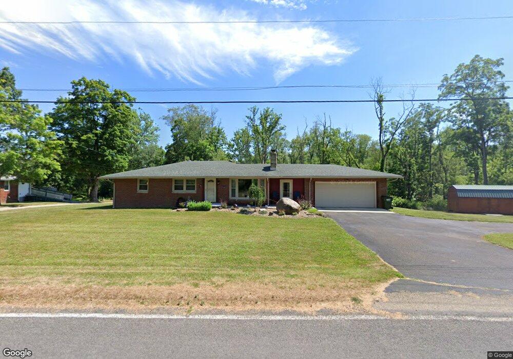
65 W Main St Alliance, OH 44601
Estimated Value: $149,085 - $232,000
3
Beds
1
Bath
1,350
Sq Ft
$129/Sq Ft
Est. Value
About This Home
This home is located at 65 W Main St, Alliance, OH 44601 and is currently estimated at $174,521, approximately $129 per square foot. 65 W Main St is a home located in Stark County with nearby schools including Marlington High School.
Ownership History
Date
Name
Owned For
Owner Type
Purchase Details
Closed on
Sep 9, 2020
Sold by
Loving Porter K
Bought by
Loving Porter K and Loving Amy
Current Estimated Value
Purchase Details
Closed on
Jul 28, 2008
Sold by
Rhoads Ruby E and Rhoads Ruby
Bought by
Green Nancy L and Myers Janet R
Purchase Details
Closed on
Jun 11, 2008
Sold by
Estate Of Donald H Rhoads
Bought by
Rhoads Ruby E
Create a Home Valuation Report for This Property
The Home Valuation Report is an in-depth analysis detailing your home's value as well as a comparison with similar homes in the area
Home Values in the Area
Average Home Value in this Area
Purchase History
| Date | Buyer | Sale Price | Title Company |
|---|---|---|---|
| Loving Porter K | -- | None Available | |
| Green Nancy L | -- | Attorney | |
| Rhoads Ruby E | -- | None Available |
Source: Public Records
Tax History Compared to Growth
Tax History
| Year | Tax Paid | Tax Assessment Tax Assessment Total Assessment is a certain percentage of the fair market value that is determined by local assessors to be the total taxable value of land and additions on the property. | Land | Improvement |
|---|---|---|---|---|
| 2025 | -- | $42,980 | $12,950 | $30,030 |
| 2024 | -- | $42,980 | $12,950 | $30,030 |
| 2023 | $966 | $27,440 | $8,540 | $18,900 |
| 2022 | $970 | $27,440 | $8,540 | $18,900 |
| 2021 | $973 | $27,440 | $8,540 | $18,900 |
| 2020 | $929 | $23,350 | $7,390 | $15,960 |
| 2019 | $923 | $23,350 | $7,390 | $15,960 |
| 2018 | $1,015 | $23,350 | $7,390 | $15,960 |
| 2017 | $893 | $19,010 | $5,810 | $13,200 |
| 2016 | $894 | $19,010 | $5,810 | $13,200 |
| 2015 | $856 | $19,010 | $5,810 | $13,200 |
| 2014 | $853 | $17,400 | $4,690 | $12,710 |
| 2013 | $424 | $17,400 | $4,690 | $12,710 |
Source: Public Records
Map
Nearby Homes
- German Church Street North E Unit LotWP001
- 13975 Greenbower St NE
- 12415 Snode St NE
- 12252 Snode St NE
- 5615 Laubert Rd
- 13109 Edison St NE
- 12355 Edison St NE
- 11940 Freshley Ave NE
- 14350 Reeder Ave NE
- 1015 Stroup Rd
- 0 Knoll St NE
- 6727 Waterloo Rd
- 15520 Coalbank St NE
- 11480 Aebi Ave NE
- 14422 Sturbridge Rd NE
- 0 New Milford Rd Unit 5119787
- 15789 Coalbank St NE
- 0 Klinger Ave NE
- 14723 Bolton St NE
- 0 Johnson Ave NE Unit 5142926