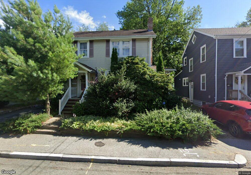
65 Wampanoag Trail Riverside, RI 02915
Kent Heights NeighborhoodEstimated Value: $421,542 - $475,000
3
Beds
2
Baths
1,720
Sq Ft
$267/Sq Ft
Est. Value
About This Home
This home is located at 65 Wampanoag Trail, Riverside, RI 02915 and is currently estimated at $458,386, approximately $266 per square foot. 65 Wampanoag Trail is a home located in Providence County with nearby schools including East Providence High School, The Gordon School, and St Mary Academy-Bay View.
Ownership History
Date
Name
Owned For
Owner Type
Purchase Details
Closed on
Jan 20, 1994
Sold by
Darezzo Albert R and Darezzo Deborah
Bought by
Simoes Ana M
Current Estimated Value
Create a Home Valuation Report for This Property
The Home Valuation Report is an in-depth analysis detailing your home's value as well as a comparison with similar homes in the area
Home Values in the Area
Average Home Value in this Area
Purchase History
| Date | Buyer | Sale Price | Title Company |
|---|---|---|---|
| Simoes Ana M | $97,000 | -- | |
| Simoes Ana M | $97,000 | -- |
Source: Public Records
Mortgage History
| Date | Status | Borrower | Loan Amount |
|---|---|---|---|
| Open | Simoes Ana M | $145,615 | |
| Closed | Simoes Ana M | $40,000 | |
| Closed | Simoes Ana M | $20,000 |
Source: Public Records
Tax History Compared to Growth
Tax History
| Year | Tax Paid | Tax Assessment Tax Assessment Total Assessment is a certain percentage of the fair market value that is determined by local assessors to be the total taxable value of land and additions on the property. | Land | Improvement |
|---|---|---|---|---|
| 2025 | $5,180 | $396,300 | $115,800 | $280,500 |
| 2024 | $5,171 | $337,300 | $96,500 | $240,800 |
| 2023 | $4,979 | $337,300 | $96,500 | $240,800 |
| 2022 | $4,746 | $217,100 | $53,300 | $163,800 |
| 2021 | $4,668 | $217,100 | $51,600 | $165,500 |
| 2020 | $4,470 | $217,100 | $51,600 | $165,500 |
| 2019 | $4,346 | $217,100 | $51,600 | $165,500 |
| 2018 | $4,322 | $188,900 | $52,700 | $136,200 |
| 2017 | $4,226 | $188,900 | $52,700 | $136,200 |
| 2016 | $4,205 | $188,900 | $52,700 | $136,200 |
| 2015 | $4,260 | $185,600 | $46,400 | $139,200 |
| 2014 | $4,260 | $185,600 | $46,400 | $139,200 |
Source: Public Records
Map
Nearby Homes
- 53 Wampanoag Trail
- 10 Fairfield Ave
- 108 Ivan Ave
- 36 Gerald St
- 59 Merritt Rd
- 180 Grassmere Ave
- 87 Vincent Ave
- 25 Ide Ave
- 50 Kettle Point Ave Unit 50
- 74 Brookhaven Dr
- 14 Waterview Ave Unit 16
- 740 Veterans Memorial Pkwy
- 1463 S Broadway
- 26 Mayflower St
- 75 Belmont Ave
- 132 S Rose St
- 17 Brown St Unit 19
- 400 Juniper St Unit A
- 400 Juniper St Unit B
- 400 Juniper St Unit C
- 75 Wampanoag Trail
- 61 Wampanoag Trail
- 19 Sumach Ave
- 0 Sumach Ave
- 55 Wampanoag Trail
- 2 Sumach Ave
- 414 Dover Ave Unit 416
- 70 Wampanoag Trail
- 76 Wampanoag Trail
- 10 Sumach Ave
- 31 Sumach Ave
- 18 Sumach Ave
- 80 Wampanoag Trail
- 404 Dover Ave
- 404 Dover Ave Unit 2
- 404 Dover Ave Unit 1
- 45 Wampanoag Trail
- 28 Sumach Ave
- 37 Sumach Ave
- 11 Milburn Rd