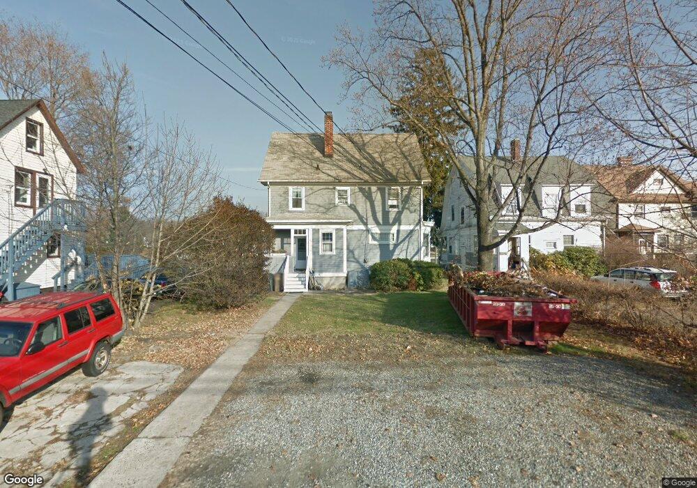
65 Weed Ave Stamford, CT 06902
The Cove NeighborhoodEstimated Value: $758,000 - $879,549
4
Beds
2
Baths
2,001
Sq Ft
$415/Sq Ft
Est. Value
About This Home
This home is located at 65 Weed Ave, Stamford, CT 06902 and is currently estimated at $831,387, approximately $415 per square foot. 65 Weed Ave is a home located in Fairfield County with nearby schools including K. T. Murphy Elementary School, Rippowam Middle School, and Stamford High School.
Ownership History
Date
Name
Owned For
Owner Type
Purchase Details
Closed on
Jun 26, 2017
Sold by
Spiller Bettina Est and Spiller
Bought by
Rumbold Kara L and Rumbold Simon
Current Estimated Value
Home Financials for this Owner
Home Financials are based on the most recent Mortgage that was taken out on this home.
Original Mortgage
$409,500
Outstanding Balance
$341,712
Interest Rate
4.05%
Mortgage Type
New Conventional
Estimated Equity
$489,675
Create a Home Valuation Report for This Property
The Home Valuation Report is an in-depth analysis detailing your home's value as well as a comparison with similar homes in the area
Home Values in the Area
Average Home Value in this Area
Purchase History
| Date | Buyer | Sale Price | Title Company |
|---|---|---|---|
| Rumbold Kara L | $455,000 | -- | |
| Rumbold Kara L | $455,000 | -- |
Source: Public Records
Mortgage History
| Date | Status | Borrower | Loan Amount |
|---|---|---|---|
| Open | Rumbold Kara L | $409,500 | |
| Closed | Rumbold Kara L | $409,500 |
Source: Public Records
Tax History Compared to Growth
Tax History
| Year | Tax Paid | Tax Assessment Tax Assessment Total Assessment is a certain percentage of the fair market value that is determined by local assessors to be the total taxable value of land and additions on the property. | Land | Improvement |
|---|---|---|---|---|
| 2025 | $13,035 | $544,950 | $364,930 | $180,020 |
| 2024 | $12,730 | $544,950 | $364,930 | $180,020 |
| 2023 | $13,755 | $544,950 | $364,930 | $180,020 |
| 2022 | $11,274 | $414,960 | $264,390 | $150,570 |
| 2021 | $11,179 | $414,960 | $264,390 | $150,570 |
| 2020 | $10,934 | $414,960 | $264,390 | $150,570 |
| 2019 | $10,934 | $414,960 | $264,390 | $150,570 |
| 2018 | $10,594 | $414,960 | $264,390 | $150,570 |
| 2017 | $9,750 | $362,590 | $216,720 | $145,870 |
| 2016 | $9,471 | $362,590 | $216,720 | $145,870 |
| 2015 | $9,221 | $362,590 | $216,720 | $145,870 |
| 2014 | $8,989 | $362,590 | $216,720 | $145,870 |
Source: Public Records
Map
Nearby Homes
- 16 Houston Terrace Unit 7
- 105 Houston Terrace
- 19 Anthony Ln
- 120 Webb Ave
- 59 Courtland Ave Unit 3O
- 59 Courtland Ave Unit 2T
- 203 Sylvan Knoll Rd
- 47 Hollow Tree Ridge Rd
- 74 Standish Rd Unit 3
- 26 Courtland Ave Unit 1
- 171 Sylvan Knoll Rd
- 16 Neponsit St
- 16 Revere Dr Unit 1
- 274 Sylvan Knoll Rd
- 214 Seaside Ave
- 214 Seaside Ave Unit 2
- 209 Seaside Ave Unit 2
- 23 Standish Rd Unit 2
- 421 Sylvan Knoll Rd
- 114 Sylvan Knoll Rd
- 69 Weed Ave
- 52 Waterbury Ave
- 50 Waterbury Ave
- 50 Waterbury Ave Unit 2
- 73 Weed Ave
- 42A Weed Ave
- 53 Weed Ave
- 70 Waterbury Ave
- 55 Waterbury Ave
- 55 Waterbury Ave Unit 3
- 59 Waterbury Ave
- 77 Weed Ave
- 61 Waterbury Ave
- 51 Weed Ave
- 43 Waterbury Ave Unit 4
- 43 Waterbury Ave Unit 3
- 43 Waterbury Ave Unit 2
- 43 Waterbury Ave Unit 1
- 69 Waterbury Ave
- 71 Waterbury Ave Unit Back