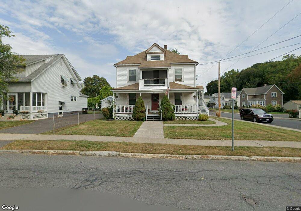
65 Westfield Rd Holyoke, MA 01040
Estimated Value: $250,000 - $310,890
5
Beds
2
Baths
1,928
Sq Ft
$145/Sq Ft
Est. Value
About This Home
This home is located at 65 Westfield Rd, Holyoke, MA 01040 and is currently estimated at $279,473, approximately $144 per square foot. 65 Westfield Rd is a home located in Hampden County with nearby schools including Lt. Elmer J. McMahon Elementary School, Holyoke High School, and Holyoke Community Charter School.
Ownership History
Date
Name
Owned For
Owner Type
Purchase Details
Closed on
Aug 6, 2004
Sold by
Virgilio Anthony J
Bought by
Cha Kat Realty Llc
Current Estimated Value
Purchase Details
Closed on
Nov 10, 1993
Sold by
Tnop Inc
Bought by
Virgilio Anthony J
Home Financials for this Owner
Home Financials are based on the most recent Mortgage that was taken out on this home.
Original Mortgage
$49,250
Interest Rate
6.79%
Mortgage Type
Purchase Money Mortgage
Purchase Details
Closed on
Sep 24, 1993
Sold by
Giroux Robert W and Peoples Sb
Bought by
Tnop Inc
Home Financials for this Owner
Home Financials are based on the most recent Mortgage that was taken out on this home.
Original Mortgage
$49,250
Interest Rate
6.79%
Mortgage Type
Purchase Money Mortgage
Create a Home Valuation Report for This Property
The Home Valuation Report is an in-depth analysis detailing your home's value as well as a comparison with similar homes in the area
Home Values in the Area
Average Home Value in this Area
Purchase History
| Date | Buyer | Sale Price | Title Company |
|---|---|---|---|
| Cha Kat Realty Llc | $110,000 | -- | |
| Virgilio Anthony J | $42,500 | -- | |
| Tnop Inc | $46,500 | -- |
Source: Public Records
Mortgage History
| Date | Status | Borrower | Loan Amount |
|---|---|---|---|
| Previous Owner | Tnop Inc | $49,250 | |
| Previous Owner | Tnop Inc | $33,000 |
Source: Public Records
Tax History Compared to Growth
Tax History
| Year | Tax Paid | Tax Assessment Tax Assessment Total Assessment is a certain percentage of the fair market value that is determined by local assessors to be the total taxable value of land and additions on the property. | Land | Improvement |
|---|---|---|---|---|
| 2025 | $4,709 | $269,700 | $55,000 | $214,700 |
| 2024 | $4,372 | $230,700 | $52,400 | $178,300 |
| 2023 | $4,050 | $215,900 | $52,400 | $163,500 |
| 2022 | $4,104 | $213,100 | $52,400 | $160,700 |
| 2021 | $3,615 | $187,600 | $50,100 | $137,500 |
| 2020 | $3,329 | $174,500 | $50,100 | $124,400 |
| 2019 | $3,272 | $169,600 | $50,100 | $119,500 |
| 2018 | $3,084 | $161,200 | $50,100 | $111,100 |
| 2017 | $3,090 | $161,200 | $50,100 | $111,100 |
| 2016 | $3,025 | $158,200 | $51,700 | $106,500 |
| 2015 | $3,012 | $158,200 | $51,700 | $106,500 |
Source: Public Records
Map
Nearby Homes
- 67 Westfield Rd
- 97 Merrick Ave
- 57 Westfield Rd
- 71 Westfield Rd
- 53 Westfield Rd
- 53 Westfield Rd Unit 2
- 94 Merrick Ave
- 508 Hillside Ave
- 60 Westfield Rd
- 88 Merrick Ave
- 79 Merrick Ave
- 502 Hillside Ave
- 70 Westfield Rd Unit 72
- 44 Westfield Rd Unit 46
- 76 Merrick Ave
- 498 Hillside Ave
- 76 Westfield Rd Unit 78
- 76 Westfield Rd Unit 2
- 76 Westfield Rd Unit 1
- 78 Westfield Rd Unit 2