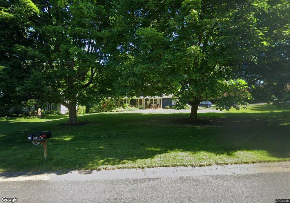
65 Wheatstone Cir Fairport, NY 14450
Estimated Value: $409,000 - $434,000
4
Beds
3
Baths
2,264
Sq Ft
$188/Sq Ft
Est. Value
About This Home
This home is located at 65 Wheatstone Cir, Fairport, NY 14450 and is currently estimated at $425,808, approximately $188 per square foot. 65 Wheatstone Cir is a home located in Monroe County with nearby schools including Jefferson Avenue Elementary School, Johanna Perrin Middle School, and Minerva Deland School.
Ownership History
Date
Name
Owned For
Owner Type
Purchase Details
Closed on
Jun 15, 2006
Sold by
Looney John
Bought by
Farnung Charles
Current Estimated Value
Home Financials for this Owner
Home Financials are based on the most recent Mortgage that was taken out on this home.
Original Mortgage
$19,850
Outstanding Balance
$7,739
Interest Rate
6.58%
Mortgage Type
Credit Line Revolving
Estimated Equity
$418,069
Create a Home Valuation Report for This Property
The Home Valuation Report is an in-depth analysis detailing your home's value as well as a comparison with similar homes in the area
Home Values in the Area
Average Home Value in this Area
Purchase History
| Date | Buyer | Sale Price | Title Company |
|---|---|---|---|
| Farnung Charles | $198,500 | John Hurley |
Source: Public Records
Mortgage History
| Date | Status | Borrower | Loan Amount |
|---|---|---|---|
| Open | Farnung Charles | $19,850 |
Source: Public Records
Tax History
| Year | Tax Paid | Tax Assessment Tax Assessment Total Assessment is a certain percentage of the fair market value that is determined by local assessors to be the total taxable value of land and additions on the property. | Land | Improvement |
|---|---|---|---|---|
| 2024 | $8,129 | $221,400 | $46,800 | $174,600 |
| 2023 | $7,824 | $221,400 | $46,800 | $174,600 |
| 2022 | $8,145 | $221,400 | $46,800 | $174,600 |
| 2021 | $8,135 | $221,400 | $46,800 | $174,600 |
| 2020 | $7,305 | $221,400 | $46,800 | $174,600 |
| 2019 | $6,693 | $221,400 | $46,800 | $174,600 |
| 2018 | $7,070 | $221,400 | $46,800 | $174,600 |
| 2017 | $4,193 | $205,000 | $46,800 | $158,200 |
| 2016 | $6,693 | $205,000 | $46,800 | $158,200 |
| 2015 | -- | $205,000 | $46,800 | $158,200 |
| 2014 | -- | $205,000 | $46,800 | $158,200 |
Source: Public Records
Map
Nearby Homes
- 5 Stonebridge Crescent
- 582 Watson Rd
- 3 Rockford Ln
- 1116 Whitney Rd E
- 255 Watson Rd
- 55 Frank St
- 14 Walpole Ct
- 67 Williamsburg Dr
- 70 High St
- 76-78 High St Unit 76
- 61 Camberley Place
- 69 New Wickham Dr
- 153 New Wickham Dr
- 163 New Wickham Dr
- 169 New Wickham Dr
- 43 Olde Prestwick Way
- 7 Camberley Place
- 85 E Pointe
- 50 County Clare Crescent
- 26 Hanningfield Cir
- 67 Wheatstone Cir
- 31 Spyglass Hill
- 61 Wheatstone Cir
- 69 Wheatstone Cir
- 64 Wheatstone Cir
- 29 Spyglass Hill
- 24 Spyglass Hill
- 49 Buckwheat Dr
- 68 Wheatstone Cir
- 71 Wheatstone Cir
- 59 Wheatstone Cir
- 27 Spyglass Hill
- 22 Spyglass Hill
- 70 Wheatstone Cir
- 47 Buckwheat Dr
- 16 Farmview Ln
- 14 Farmview Ln
- 73 Wheatstone Cir
- 25 Spyglass Hill
- 57 Wheatstone Cir
Your Personal Tour Guide
Ask me questions while you tour the home.