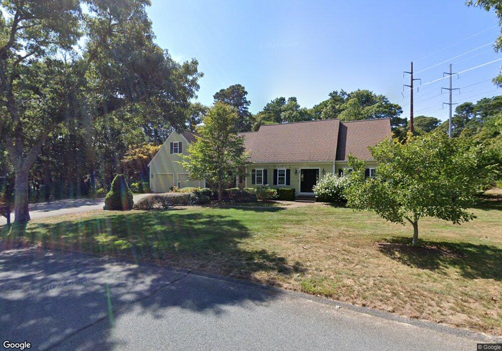
65 Wianno Rd Yarmouth Port, MA 02675
Yarmouth Port NeighborhoodEstimated Value: $847,000 - $965,000
3
Beds
3
Baths
2,185
Sq Ft
$415/Sq Ft
Est. Value
About This Home
This home is located at 65 Wianno Rd, Yarmouth Port, MA 02675 and is currently estimated at $907,185, approximately $415 per square foot. 65 Wianno Rd is a home located in Barnstable County with nearby schools including Dennis-Yarmouth Regional High School.
Ownership History
Date
Name
Owned For
Owner Type
Purchase Details
Closed on
Apr 12, 2023
Sold by
Mccarthy William and Mccarthy Susan
Bought by
Mccarthy Ret
Current Estimated Value
Purchase Details
Closed on
Jul 13, 2005
Sold by
Walden Corp
Bought by
Mccarthy Susan and Mccarthy William
Purchase Details
Closed on
Jan 7, 2005
Sold by
Stetkis-Sperco Jon E
Bought by
Walden Corp
Home Financials for this Owner
Home Financials are based on the most recent Mortgage that was taken out on this home.
Original Mortgage
$50,000
Interest Rate
5.83%
Create a Home Valuation Report for This Property
The Home Valuation Report is an in-depth analysis detailing your home's value as well as a comparison with similar homes in the area
Home Values in the Area
Average Home Value in this Area
Purchase History
| Date | Buyer | Sale Price | Title Company |
|---|---|---|---|
| Mccarthy Ret | -- | None Available | |
| Mccarthy Susan | $522,000 | -- | |
| Walden Corp | $225,000 | -- |
Source: Public Records
Mortgage History
| Date | Status | Borrower | Loan Amount |
|---|---|---|---|
| Previous Owner | Mccarthy Susan | $50,000 | |
| Previous Owner | Walden Corp | $375,000 |
Source: Public Records
Tax History Compared to Growth
Tax History
| Year | Tax Paid | Tax Assessment Tax Assessment Total Assessment is a certain percentage of the fair market value that is determined by local assessors to be the total taxable value of land and additions on the property. | Land | Improvement |
|---|---|---|---|---|
| 2025 | $6,328 | $893,800 | $168,100 | $725,700 |
| 2024 | $5,883 | $797,100 | $146,200 | $650,900 |
| 2023 | $5,858 | $722,300 | $132,900 | $589,400 |
| 2022 | $5,245 | $571,300 | $126,700 | $444,600 |
| 2021 | $5,102 | $533,700 | $126,700 | $407,000 |
| 2020 | $4,917 | $491,700 | $133,900 | $357,800 |
| 2019 | $4,527 | $448,200 | $133,900 | $314,300 |
| 2018 | $4,383 | $425,900 | $111,600 | $314,300 |
| 2017 | $4,268 | $425,900 | $111,600 | $314,300 |
| 2016 | $4,162 | $417,000 | $102,700 | $314,300 |
| 2015 | $3,972 | $395,600 | $98,200 | $297,400 |
Source: Public Records
Map
Nearby Homes
- 800 Route 6a
- 800 Route 6a
- 20 Trophy Ln
- 21 Boxwood Cir
- 14 Many Oaks Cir
- 4208 Heatherwood
- 6 Nimble Hill Dr
- 28 Oak Glen
- 17 Kates Path Unit A
- 25 Oak Glen
- 25 Oak Glen Village Unit 25
- 64 Kates Path
- 228 Kates Path
- 8 Rowley Ln
- 2 Pine Grove
- 158 Kates Path
- 19 John Halls Cartpath Village Unit E
- 19 John Hall Cartway Unit E
- 55 W West Woods Cir
- 42 John Hall Cartway Unit 42