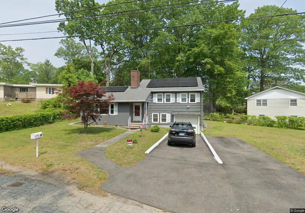
65 Wickliffe Cir Bridgeport, CT 06606
North End NeighborhoodEstimated Value: $391,000 - $477,000
3
Beds
2
Baths
1,328
Sq Ft
$337/Sq Ft
Est. Value
About This Home
This home is located at 65 Wickliffe Cir, Bridgeport, CT 06606 and is currently estimated at $447,491, approximately $336 per square foot. 65 Wickliffe Cir is a home located in Fairfield County with nearby schools including Wilbur L. Cross Elementary School, Central High School, and Northeastern Adventist Academy - Fairfield County.
Ownership History
Date
Name
Owned For
Owner Type
Purchase Details
Closed on
Jul 27, 2005
Sold by
Duch Helen
Bought by
Burgos Onelio and Burgos Margarita
Current Estimated Value
Home Financials for this Owner
Home Financials are based on the most recent Mortgage that was taken out on this home.
Original Mortgage
$92,000
Interest Rate
5.67%
Mortgage Type
Purchase Money Mortgage
Create a Home Valuation Report for This Property
The Home Valuation Report is an in-depth analysis detailing your home's value as well as a comparison with similar homes in the area
Home Values in the Area
Average Home Value in this Area
Purchase History
| Date | Buyer | Sale Price | Title Company |
|---|---|---|---|
| Burgos Onelio | $262,000 | -- | |
| Burgos Onelio | $262,000 | -- |
Source: Public Records
Mortgage History
| Date | Status | Borrower | Loan Amount |
|---|---|---|---|
| Open | Burgos Onelio | $100,000 | |
| Closed | Burgos Onelio | $92,000 |
Source: Public Records
Tax History Compared to Growth
Tax History
| Year | Tax Paid | Tax Assessment Tax Assessment Total Assessment is a certain percentage of the fair market value that is determined by local assessors to be the total taxable value of land and additions on the property. | Land | Improvement |
|---|---|---|---|---|
| 2025 | $8,135 | $187,230 | $83,800 | $103,430 |
| 2024 | $8,135 | $187,230 | $83,800 | $103,430 |
| 2023 | $8,135 | $187,230 | $83,800 | $103,430 |
| 2022 | $8,135 | $187,230 | $83,800 | $103,430 |
| 2021 | $8,135 | $187,230 | $83,800 | $103,430 |
| 2020 | $8,187 | $151,640 | $63,440 | $88,200 |
| 2019 | $8,187 | $151,640 | $63,440 | $88,200 |
| 2018 | $8,245 | $151,640 | $63,440 | $88,200 |
| 2017 | $8,245 | $151,640 | $63,440 | $88,200 |
| 2016 | $8,245 | $151,640 | $63,440 | $88,200 |
| 2015 | $7,851 | $186,050 | $71,970 | $114,080 |
| 2014 | $7,851 | $186,050 | $71,970 | $114,080 |
Source: Public Records
Map
Nearby Homes
- 1800 Chopsey Hill Rd
- 45 Rogerson Cir
- 135 Grey Rock Rd
- 238 Griffin Ave
- 32 Karen Ct Unit b
- 65 Clearview Dr
- 1675 Old Town Rd
- 26 Karen Ct Unit A
- 165 Yaremich Dr
- 715 Frenchtown Rd Unit 31
- 7 Stone Ridge Rd
- 54 Agnes St
- 291 Frenchtown Rd
- 365 Platt St
- 142 Chatham Terrace
- 410 Alba Ave
- 285 Alba Ave
- 675 Platt St
- 495 Alba Ave
- 475 Alba Ave
- 55 Wickliffe Cir
- 45 Wickliffe Cir
- 30 Wickliffe Cir
- 35 Wickliffe Cir
- 135 Lakeside Dr
- 130 Lakeside Dr
- 114 Lakeside Dr
- 99 Lakeside Dr
- 144 Lakeside Dr
- 100 Lakeside Dr
- 165 Lakeside Dr
- 156 Lakeside Dr
- 88 Lakeside Dr
- 73 Lakeside Dr
- 70 Lakeside Dr
- 170 Lakeside Dr
- 1667 Chopsey Hill Rd
- 1657 Chopsey Hill Rd
- 1685 Chopsey Hill Rd
- 1645 Chopsey Hill Rd