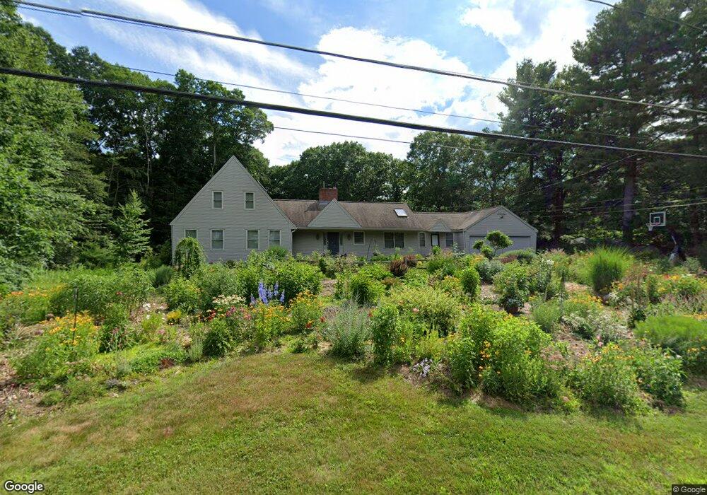
65 Woodridge Rd Wayland, MA 01778
Estimated Value: $1,348,000 - $1,712,000
3
Beds
3
Baths
1,864
Sq Ft
$826/Sq Ft
Est. Value
About This Home
This home is located at 65 Woodridge Rd, Wayland, MA 01778 and is currently estimated at $1,540,380, approximately $826 per square foot. 65 Woodridge Rd is a home located in Middlesex County with nearby schools including Wayland High School, Veritas Christian Academy, and The Rivers School.
Ownership History
Date
Name
Owned For
Owner Type
Purchase Details
Closed on
Nov 24, 1998
Sold by
Donelan Paul
Bought by
Belew Lance R and Belew Eunhee K
Current Estimated Value
Home Financials for this Owner
Home Financials are based on the most recent Mortgage that was taken out on this home.
Original Mortgage
$473,600
Outstanding Balance
$104,891
Interest Rate
6.49%
Mortgage Type
Purchase Money Mortgage
Estimated Equity
$1,435,489
Purchase Details
Closed on
Dec 19, 1997
Sold by
Alice M Powell T and Powell Alice M
Bought by
Donelan Paul
Home Financials for this Owner
Home Financials are based on the most recent Mortgage that was taken out on this home.
Original Mortgage
$50,000
Interest Rate
7.14%
Mortgage Type
Purchase Money Mortgage
Create a Home Valuation Report for This Property
The Home Valuation Report is an in-depth analysis detailing your home's value as well as a comparison with similar homes in the area
Home Values in the Area
Average Home Value in this Area
Purchase History
| Date | Buyer | Sale Price | Title Company |
|---|---|---|---|
| Belew Lance R | $592,000 | -- | |
| Donelan Paul | $305,000 | -- |
Source: Public Records
Mortgage History
| Date | Status | Borrower | Loan Amount |
|---|---|---|---|
| Open | Donelan Paul | $473,600 | |
| Previous Owner | Donelan Paul | $50,000 | |
| Previous Owner | Donelan Paul | $50,000 |
Source: Public Records
Tax History Compared to Growth
Tax History
| Year | Tax Paid | Tax Assessment Tax Assessment Total Assessment is a certain percentage of the fair market value that is determined by local assessors to be the total taxable value of land and additions on the property. | Land | Improvement |
|---|---|---|---|---|
| 2025 | $20,911 | $1,337,900 | $697,400 | $640,500 |
| 2024 | $19,769 | $1,273,800 | $664,100 | $609,700 |
| 2023 | $19,202 | $1,153,300 | $605,100 | $548,200 |
| 2022 | $18,293 | $996,900 | $504,100 | $492,800 |
| 2021 | $11,511 | $952,800 | $460,000 | $492,800 |
| 2020 | $5,276 | $952,800 | $460,000 | $492,800 |
| 2019 | $16,044 | $877,700 | $439,000 | $438,700 |
| 2018 | $8,124 | $832,700 | $439,000 | $393,700 |
| 2017 | $5,005 | $812,800 | $425,000 | $387,800 |
| 2016 | $13,685 | $789,200 | $434,100 | $355,100 |
| 2015 | $14,131 | $768,400 | $434,100 | $334,300 |
Source: Public Records
Map
Nearby Homes
- 262 Cochituate Rd
- 125 Woodridge Rd
- 26 Dudley Rd
- 3 Keith Rd
- 22 Lakeshore Dr
- 108 Dudley Rd
- 123 Dudley Rd
- 186 Main St Unit 2
- 186 Main St
- 1601 Wisteria Way
- 177 Main St
- 606 Wisteria Way
- 353 Old Connecticut Path
- 233 Lakeshore Dr
- 6 Steepletree Ln
- 35 Snake Brook Rd
- 8 Fox Hollow
- 12 Nancy Rd
- 454 Old Connecticut Path
- 12 Astra
- 63 Woodridge Rd
- 69 Woodridge Rd
- 66 Woodridge Rd
- 62 Woodridge Rd
- 62 Woodridge Rd Unit 9999
- 62 Woodridge Rd
- 70 Woodridge Rd
- 58 Woodridge Rd
- 73 Woodridge Rd
- 59 Woodridge Rd
- 55 Woodridge Rd
- 52 Woodridge Rd
- 77 Woodridge Rd
- 76 Woodridge Rd
- 19 Barney Hill Rd
- 81 Woodridge Rd
- 21 Barney Hill Rd
- 51 Woodridge Rd
- 38 High Rock Rd
- 38 High Rock Rd