650 Ball Field Rd Waleska, GA 30183
Estimated Value: $505,000 - $513,000
3
Beds
2
Baths
2,190
Sq Ft
$232/Sq Ft
Est. Value
About This Home
This home is located at 650 Ball Field Rd, Waleska, GA 30183 and is currently estimated at $508,769, approximately $232 per square foot. 650 Ball Field Rd is a home located in Cherokee County with nearby schools including R. M. Moore Elementary School, Teasley Middle School, and Cherokee High School.
Ownership History
Date
Name
Owned For
Owner Type
Purchase Details
Closed on
Oct 30, 2002
Sold by
Elkins Howard P and Elkins Sharon L
Bought by
Elkins Ray W and Elkins Eve S
Current Estimated Value
Home Financials for this Owner
Home Financials are based on the most recent Mortgage that was taken out on this home.
Original Mortgage
$200,000
Outstanding Balance
$82,143
Interest Rate
6.01%
Mortgage Type
New Conventional
Estimated Equity
$426,626
Create a Home Valuation Report for This Property
The Home Valuation Report is an in-depth analysis detailing your home's value as well as a comparison with similar homes in the area
Home Values in the Area
Average Home Value in this Area
Purchase History
| Date | Buyer | Sale Price | Title Company |
|---|---|---|---|
| Elkins Ray W | -- | -- |
Source: Public Records
Mortgage History
| Date | Status | Borrower | Loan Amount |
|---|---|---|---|
| Open | Elkins Ray W | $200,000 |
Source: Public Records
Tax History Compared to Growth
Tax History
| Year | Tax Paid | Tax Assessment Tax Assessment Total Assessment is a certain percentage of the fair market value that is determined by local assessors to be the total taxable value of land and additions on the property. | Land | Improvement |
|---|---|---|---|---|
| 2025 | $4,987 | $219,960 | $45,640 | $174,320 |
| 2024 | $4,412 | $190,080 | $46,440 | $143,640 |
| 2023 | $3,727 | $178,200 | $32,760 | $145,440 |
| 2022 | $3,252 | $133,160 | $31,400 | $101,760 |
| 2021 | $2,974 | $109,600 | $27,320 | $82,280 |
| 2020 | $2,724 | $98,720 | $27,320 | $71,400 |
| 2019 | $2,524 | $91,040 | $27,320 | $63,720 |
| 2018 | $2,440 | $87,600 | $27,320 | $60,280 |
| 2017 | $2,274 | $203,000 | $21,240 | $59,960 |
| 2016 | $2,068 | $183,400 | $18,200 | $55,160 |
| 2015 | $2,108 | $185,000 | $18,200 | $55,800 |
| 2014 | $2,064 | $180,900 | $18,200 | $54,160 |
Source: Public Records
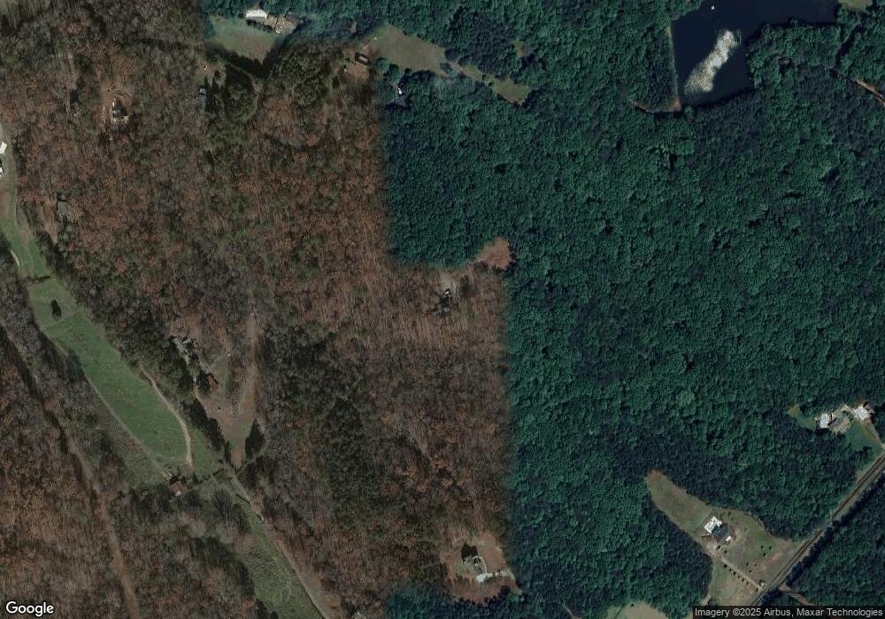
Map
Nearby Homes
- 240 Land Rd
- 6231 Reinhardt College Pkwy
- 6434 Reinhardt College Pkwy
- 2020 Darby Rd
- 156 Puckett Rd
- 158 Puckett Rd
- 1723 Darby Rd
- 1717 Darby Rd
- 1017 Cable Rd
- 0 Friendship Rd Unit 7664369
- 0 Friendship Rd Unit 10623273
- 994 Cable Rd
- 990 Cable Rd
- 544 Sardis Cir
- 1010 Cable Rd
- 735 Sardis Cir
- 737 Sardis Cir
- 4441 Fincher Rd
- 134 Brookwood Trail
- 1175 Bartow St