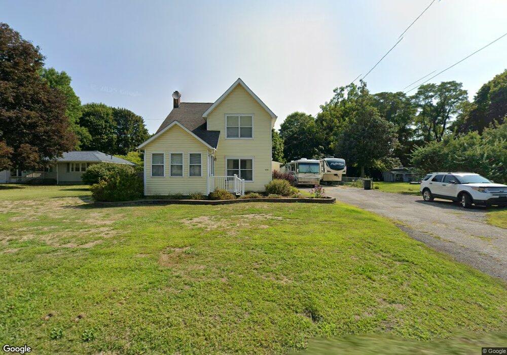
650 Bowhall Rd Painesville, OH 44077
Estimated Value: $159,000 - $202,000
3
Beds
1
Bath
828
Sq Ft
$215/Sq Ft
Est. Value
About This Home
This home is located at 650 Bowhall Rd, Painesville, OH 44077 and is currently estimated at $178,000, approximately $214 per square foot. 650 Bowhall Rd is a home located in Lake County with nearby schools including Henry F. Lamuth Middle School, Riverside Junior/Senior High School, and Summit Academy Community School - Painesville.
Ownership History
Date
Name
Owned For
Owner Type
Purchase Details
Closed on
Mar 24, 2000
Sold by
Christian Church National Beveolent Assoc Of
Bought by
Mansfield Albert D and Mansfield Dawn S
Current Estimated Value
Home Financials for this Owner
Home Financials are based on the most recent Mortgage that was taken out on this home.
Original Mortgage
$72,250
Outstanding Balance
$23,093
Interest Rate
7.5%
Estimated Equity
$154,907
Purchase Details
Closed on
Jan 25, 1991
Bought by
National Beveolent Assoc
Create a Home Valuation Report for This Property
The Home Valuation Report is an in-depth analysis detailing your home's value as well as a comparison with similar homes in the area
Home Values in the Area
Average Home Value in this Area
Purchase History
| Date | Buyer | Sale Price | Title Company |
|---|---|---|---|
| Mansfield Albert D | $85,000 | Lawyers Title | |
| National Beveolent Assoc | -- | -- |
Source: Public Records
Mortgage History
| Date | Status | Borrower | Loan Amount |
|---|---|---|---|
| Open | Mansfield Albert D | $72,250 | |
| Closed | Mansfield Albert D | $4,250 |
Source: Public Records
Tax History Compared to Growth
Tax History
| Year | Tax Paid | Tax Assessment Tax Assessment Total Assessment is a certain percentage of the fair market value that is determined by local assessors to be the total taxable value of land and additions on the property. | Land | Improvement |
|---|---|---|---|---|
| 2024 | -- | $59,130 | $14,090 | $45,040 |
| 2023 | $2,972 | $41,570 | $10,230 | $31,340 |
| 2022 | $2,668 | $41,570 | $10,230 | $31,340 |
| 2021 | $2,457 | $41,570 | $10,230 | $31,340 |
| 2020 | $2,717 | $36,140 | $8,890 | $27,250 |
| 2019 | $2,748 | $36,140 | $8,890 | $27,250 |
| 2018 | $2,709 | $32,700 | $8,940 | $23,760 |
| 2017 | $2,494 | $32,700 | $8,940 | $23,760 |
| 2016 | $2,011 | $32,700 | $8,940 | $23,760 |
| 2015 | $1,872 | $32,700 | $8,940 | $23,760 |
| 2014 | $1,903 | $32,700 | $8,940 | $23,760 |
| 2013 | $1,860 | $32,700 | $8,940 | $23,760 |
Source: Public Records
Map
Nearby Homes
- 0 N Ridge Rd Unit 5110949
- 1787 Muirfield Ln
- 389 Sand Trap Cir
- 399 Sandtrap Cir
- 1598 Bogie Ln
- 500 Park Rd
- 499 Sand Trap Cir
- 547 Greenside Dr
- 396 Park Rd
- 269 Hale Rd
- 525 Morgan Dr
- 1182 Dalton Dr
- 1172 Dalton Dr
- 1791 Muirfield Ln
- 1865 Marsh Ln Unit 1865
- 108 Birch Dr
- 1806 Muirfield Ln
- 634 N Creek Dr
- V/L Morgan Dr
- 43 Bristol Ave