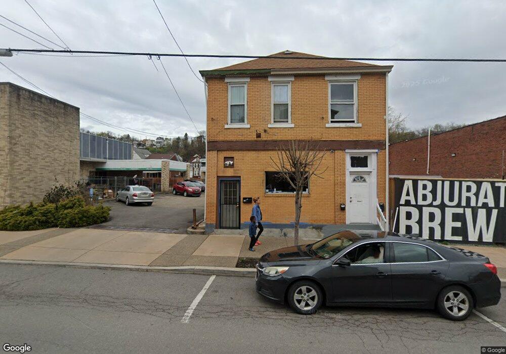
650 Broadway Ave McKees Rocks, PA 15136
Stowe Township NeighborhoodEstimated Value: $179,760
--
Bed
--
Bath
--
Sq Ft
2,396
Sq Ft Lot
About This Home
This home is located at 650 Broadway Ave, McKees Rocks, PA 15136 and is currently priced at $179,760. 650 Broadway Ave is a home located in Allegheny County with nearby schools including Sto-Rox Primary Center, Sto-Rox Upper Elementary School, and Sto-Rox Junior/Senior High School.
Ownership History
Date
Name
Owned For
Owner Type
Purchase Details
Closed on
Feb 14, 2021
Sold by
Thorn Run Land Develop L L C
Bought by
Collins Juanita
Current Estimated Value
Home Financials for this Owner
Home Financials are based on the most recent Mortgage that was taken out on this home.
Original Mortgage
$108,000
Outstanding Balance
$96,594
Interest Rate
2.7%
Mortgage Type
Future Advance Clause Open End Mortgage
Purchase Details
Closed on
Jan 14, 2021
Sold by
Thorn Run Land Development Llc
Bought by
Collins Juanita
Home Financials for this Owner
Home Financials are based on the most recent Mortgage that was taken out on this home.
Original Mortgage
$108,000
Outstanding Balance
$96,594
Interest Rate
2.7%
Mortgage Type
Future Advance Clause Open End Mortgage
Create a Home Valuation Report for This Property
The Home Valuation Report is an in-depth analysis detailing your home's value as well as a comparison with similar homes in the area
Home Values in the Area
Average Home Value in this Area
Purchase History
| Date | Buyer | Sale Price | Title Company |
|---|---|---|---|
| Collins Juanita | $149,000 | None Available | |
| Collins Juanita | $149,000 | -- |
Source: Public Records
Mortgage History
| Date | Status | Borrower | Loan Amount |
|---|---|---|---|
| Open | Collins Juanita | $108,000 |
Source: Public Records
Tax History Compared to Growth
Tax History
| Year | Tax Paid | Tax Assessment Tax Assessment Total Assessment is a certain percentage of the fair market value that is determined by local assessors to be the total taxable value of land and additions on the property. | Land | Improvement |
|---|---|---|---|---|
| 2025 | $246 | $5,700 | $3,800 | $1,900 |
| 2024 | $246 | $5,700 | $3,800 | $1,900 |
| 2023 | $237 | $5,700 | $3,800 | $1,900 |
| 2022 | $229 | $5,700 | $3,800 | $1,900 |
| 2021 | $224 | $5,700 | $3,800 | $1,900 |
| 2020 | $224 | $5,700 | $3,800 | $1,900 |
| 2019 | $224 | $5,700 | $3,800 | $1,900 |
| 2018 | $27 | $5,700 | $3,800 | $1,900 |
| 2017 | $219 | $5,700 | $3,800 | $1,900 |
| 2016 | $27 | $5,700 | $3,800 | $1,900 |
| 2015 | $27 | $5,700 | $3,800 | $1,900 |
| 2014 | $219 | $5,700 | $3,800 | $1,900 |
Source: Public Records
Map
Nearby Homes
- 705 Broadway Ave
- 713 Russellwood Ave
- 634 Broadway Ave
- 620 Broadway Ave
- 815 Broadway Ave
- 810 Woodward Ave
- 813 8th St
- 125 Frazier Ave
- 1144 1/2 Race St
- 533 Woodward Ave
- 1170 Dohrman St
- 908 Russellwood Ave
- 815 10th St
- 813 10th St
- 837 Benwood Ave
- 851 Hober Ave
- 810 10th St
- 82 Harlem Ave
- 802 10th St
- 202 Jane St
- 648 Broadway Ave
- 646 Broadway Ave
- 644 Broadway Ave
- 642 Broadway Ave
- 647 Woodward Ave
- 649 Woodward Ave
- 651 Woodward Ave
- 643 Woodward Ave
- 649 Broadway Ave
- 639 Woodward Ave
- 653 Woodward Ave
- 657 Woodward Ave
- 655 Woodward Ave
- 633 Woodward Ave
- 635 Woodward Ave
- 701 Broadway Ave
- 643 Broadway Ave
- 637 Woodward Ave
- 703 Broadway Ave
- 631 Woodward Ave