650 Brookside Dr Unit C Andover, MA 01810
Far West Andover NeighborhoodEstimated Value: $264,000 - $497,000
3
Beds
2
Baths
1,163
Sq Ft
$307/Sq Ft
Est. Value
About This Home
This home is located at 650 Brookside Dr Unit C, Andover, MA 01810 and is currently estimated at $357,449, approximately $307 per square foot. 650 Brookside Dr Unit C is a home located in Essex County with nearby schools including High Plain Elementary School, Wood Hill Middle School, and Andover High School.
Ownership History
Date
Name
Owned For
Owner Type
Purchase Details
Closed on
Sep 8, 2023
Sold by
Nguyen Quyen and Tran Tommy
Bought by
Tran Tommy
Current Estimated Value
Purchase Details
Closed on
Jul 29, 2021
Sold by
Nguyen Quyen
Bought by
Nguyen Quyen and Tran Tommy
Purchase Details
Closed on
Aug 22, 2014
Sold by
Blazonis Mary
Bought by
Nguyen Quyen
Home Financials for this Owner
Home Financials are based on the most recent Mortgage that was taken out on this home.
Original Mortgage
$147,500
Interest Rate
4.14%
Mortgage Type
New Conventional
Purchase Details
Closed on
Jan 10, 2006
Sold by
Brookside Est Lp
Bought by
Amw Rlty Corp and Blazonis
Home Financials for this Owner
Home Financials are based on the most recent Mortgage that was taken out on this home.
Original Mortgage
$128,250
Interest Rate
6.28%
Mortgage Type
Purchase Money Mortgage
Create a Home Valuation Report for This Property
The Home Valuation Report is an in-depth analysis detailing your home's value as well as a comparison with similar homes in the area
Home Values in the Area
Average Home Value in this Area
Purchase History
We collect this data history from publicly available records. To have your information removed, we recommend requesting removal directly through your county’s website.
| Date | Buyer | Sale Price | Title Company |
|---|---|---|---|
| Tran Tommy | -- | None Available | |
| Nguyen Quyen | -- | None Available | |
| Nguyen Quyen | $163,000 | -- | |
| Nguyen Quyen | $163,000 | -- | |
| Amw Rlty Corp | $135,000 | -- | |
| Amw Rlty Corp | $135,000 | -- |
Source: Public Records
Mortgage History
We collect this data history from publicly available records. To have your information removed, we recommend requesting removal directly through your county’s website.
| Date | Status | Borrower | Loan Amount |
|---|---|---|---|
| Previous Owner | Nguyen Quyen | $147,500 | |
| Previous Owner | Amw Rlty Corp | $128,250 |
Source: Public Records
Tax History
| Year | Tax Paid | Tax Assessment Tax Assessment Total Assessment is a certain percentage of the fair market value that is determined by local assessors to be the total taxable value of land and additions on the property. | Land | Improvement |
|---|---|---|---|---|
| 2025 | $2,552 | $204,300 | $0 | $204,300 |
| 2024 | $2,222 | $172,500 | $0 | $172,500 |
| 2023 | $2,052 | $150,200 | $0 | $150,200 |
| 2022 | $2,114 | $144,800 | $0 | $144,800 |
| 2021 | $2,093 | $136,900 | $0 | $136,900 |
| 2020 | $1,962 | $130,700 | $0 | $130,700 |
| 2019 | $1,846 | $120,900 | $0 | $120,900 |
| 2018 | $1,745 | $111,600 | $0 | $111,600 |
| 2017 | $1,630 | $107,400 | $0 | $107,400 |
| 2016 | $1,522 | $102,700 | $0 | $102,700 |
| 2015 | $1,463 | $97,700 | $0 | $97,700 |
Source: Public Records
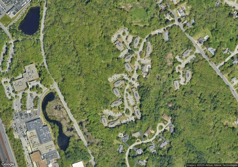
Map
Nearby Homes
- 8 Brundrett Ave
- 7 Westwood Terrace
- 26 Mount Vernon Cir
- 2 Weeping Willow Dr
- 13 Caswell Ave
- 14 Wood Ln
- 0 Hudson Ave
- 90 Beacon St Unit 12
- 82-84 Haverhill St
- 14 Samos Ln
- 29 Heather Dr Unit 34
- 312 Water St Unit 33
- 110-112 Everett St
- 100 Hancock St
- 110 Cross St
- 2 Dove Ln Unit 2
- 57 Juniper Rd
- 11 Swan Ln Unit 11
- 26 Hobson St
- 16 Newhill Rd
- 601 Brookside Dr
- 650 Brookside Dr Unit H
- 650 Brookside Dr Unit F
- 650 Brookside Dr Unit E
- 650 Brookside Dr Unit D
- 650 Brookside Dr Unit B
- 650 Brookside Dr Unit A
- 651 Brookside Dr
- 651 Brookside Dr Unit 2
- 650 Brookside Dr Unit 650G
- 650 Brookside Dr Unit 650E
- 500 Brookside Dr Unit H
- 500 Brookside Dr Unit G
- 500 Brookside Dr Unit F
- 500 Brookside Dr Unit E
- 500 Brookside Dr Unit C
- 500 Brookside Dr Unit B
- 500 Brookside Dr Unit A
- 502 Brookside Dr
- 501 Brookside Dr
Your Personal Tour Guide
Ask me questions while you tour the home.