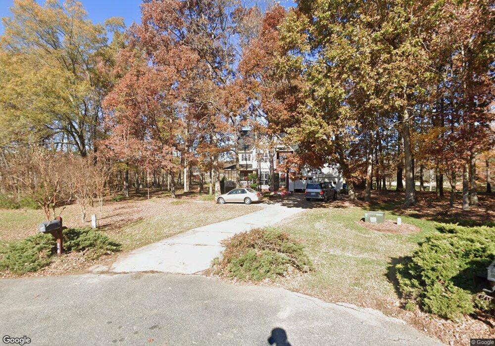
650 Butternut Ln Matthews, NC 28104
Estimated Value: $463,000 - $503,000
4
Beds
3
Baths
2,344
Sq Ft
$208/Sq Ft
Est. Value
About This Home
This home is located at 650 Butternut Ln, Matthews, NC 28104 and is currently estimated at $487,427, approximately $207 per square foot. 650 Butternut Ln is a home located in Union County with nearby schools including Stallings Elementary School, Porter Ridge Middle School, and Porter Ridge High School.
Ownership History
Date
Name
Owned For
Owner Type
Purchase Details
Closed on
Nov 30, 2004
Sold by
Hall Gayle Tipton and Sikes Lynita M
Bought by
Kemper Jerry D and Kemper Stephanie D
Current Estimated Value
Home Financials for this Owner
Home Financials are based on the most recent Mortgage that was taken out on this home.
Original Mortgage
$184,000
Outstanding Balance
$89,450
Interest Rate
5.6%
Mortgage Type
Unknown
Estimated Equity
$397,977
Purchase Details
Closed on
Jul 5, 1996
Sold by
Hall Gayle Tipton and Sikes Lynita M
Bought by
Hall Gayle Tipton and Sikes Lynita M
Create a Home Valuation Report for This Property
The Home Valuation Report is an in-depth analysis detailing your home's value as well as a comparison with similar homes in the area
Home Values in the Area
Average Home Value in this Area
Purchase History
| Date | Buyer | Sale Price | Title Company |
|---|---|---|---|
| Kemper Jerry D | $184,000 | -- | |
| Hall Gayle Tipton | $147,100 | -- |
Source: Public Records
Mortgage History
| Date | Status | Borrower | Loan Amount |
|---|---|---|---|
| Open | Kemper Jerry D | $184,000 |
Source: Public Records
Tax History Compared to Growth
Tax History
| Year | Tax Paid | Tax Assessment Tax Assessment Total Assessment is a certain percentage of the fair market value that is determined by local assessors to be the total taxable value of land and additions on the property. | Land | Improvement |
|---|---|---|---|---|
| 2025 | $2,773 | $404,300 | $0 | $0 |
| 2024 | $2,556 | $290,300 | $54,600 | $235,700 |
| 2023 | $2,453 | $290,300 | $54,600 | $235,700 |
| 2022 | $2,432 | $290,300 | $54,600 | $235,700 |
| 2021 | $2,430 | $290,300 | $54,600 | $235,700 |
| 2020 | $2,123 | $207,550 | $37,550 | $170,000 |
| 2019 | $2,114 | $207,550 | $37,550 | $170,000 |
| 2018 | $2,114 | $207,550 | $37,550 | $170,000 |
| 2017 | $2,172 | $207,600 | $37,600 | $170,000 |
| 2016 | $2,188 | $207,550 | $37,550 | $170,000 |
| 2015 | $2,210 | $207,550 | $37,550 | $170,000 |
| 2014 | $1,524 | $215,330 | $35,400 | $179,930 |
Source: Public Records
Map
Nearby Homes
- 4324 Stallingswood Dr
- 3017 Stevens Schultz Ln
- 5401 Stevens Mill Rd
- 5028 Haven Lodge Rd
- 5033 Haven Lodge Rd
- 1419 Vickery Dr
- 4023 Lawrence Daniel Dr
- 4006 Scarlet Dr Unit 29
- 2126 Blue Iris Dr
- 201 Limerick Dr
- 15108 Castlebridge Ln
- 1830 Light Brigade Dr Unit v512
- 14601 Phillips Rd
- 844 Clonmel Dr
- 2001 Thurston Dr
- 5703 Hillcrest Cir
- 16020 Clear Creek Farm Rd
- 8003 Hemby Wood Dr
- 881 Clonmel Dr
- 884 Clonmel Dr
- 633 Butternut Ln
- 642 Butternut Ln
- 127 Houston Blair Rd Unit Lot 48
- 607 Butternut Ln
- 634 Butternut Ln
- 115 Houston Blair Rd Unit 4
- 5031 Stevens Mill Rd
- 626 Butternut Ln
- 0 Houston Blair Rd Unit 40
- 118 Houston Blair Rd Unit 8
- 203 Houston Blair Rd Unit Lot 47
- 618 Butternut Ln
- 618 Butternut Ln Unit 9
- 5025 Stevens Mill Rd
- 207 Houston Blair Rd Unit 46
- 5009 Stevens Mill Rd
- 5033 Stevens Mill Rd
- 114 Houston Blair Rd Unit 7
- 4861 Stevens Mill Rd
- 306 Rachel Elizabeth Dr