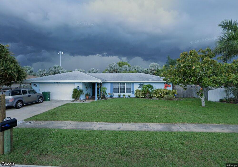
650 Caribbean Rd Satellite Beach, FL 32937
Estimated Value: $519,000 - $538,000
3
Beds
2
Baths
1,671
Sq Ft
$316/Sq Ft
Est. Value
About This Home
This home is located at 650 Caribbean Rd, Satellite Beach, FL 32937 and is currently estimated at $528,316, approximately $316 per square foot. 650 Caribbean Rd is a home located in Brevard County with nearby schools including Satellite Senior High School, Ocean Breeze Elementary School, and DeLaura Middle School.
Ownership History
Date
Name
Owned For
Owner Type
Purchase Details
Closed on
Oct 14, 2005
Sold by
Whitley Barbara and Busch Rita A
Bought by
Smith Slater Elizabeth
Current Estimated Value
Home Financials for this Owner
Home Financials are based on the most recent Mortgage that was taken out on this home.
Original Mortgage
$115,000
Outstanding Balance
$61,359
Interest Rate
5.71%
Estimated Equity
$466,957
Create a Home Valuation Report for This Property
The Home Valuation Report is an in-depth analysis detailing your home's value as well as a comparison with similar homes in the area
Home Values in the Area
Average Home Value in this Area
Purchase History
| Date | Buyer | Sale Price | Title Company |
|---|---|---|---|
| Smith Slater Elizabeth | $302,000 | Title Security & Escrow Of C |
Source: Public Records
Mortgage History
| Date | Status | Borrower | Loan Amount |
|---|---|---|---|
| Open | Smith Slater Elizabeth | $115,000 |
Source: Public Records
Tax History
| Year | Tax Paid | Tax Assessment Tax Assessment Total Assessment is a certain percentage of the fair market value that is determined by local assessors to be the total taxable value of land and additions on the property. | Land | Improvement |
|---|---|---|---|---|
| 2025 | $2,718 | $180,970 | -- | -- |
| 2024 | $2,671 | $175,870 | -- | -- |
| 2023 | $2,671 | $170,750 | $0 | $0 |
| 2022 | $2,498 | $165,780 | $0 | $0 |
| 2021 | $2,569 | $160,960 | $0 | $0 |
| 2020 | $2,559 | $158,740 | $0 | $0 |
| 2019 | $2,539 | $155,180 | $0 | $0 |
| 2018 | $2,538 | $152,290 | $0 | $0 |
| 2017 | $2,371 | $149,160 | $0 | $0 |
| 2016 | $2,375 | $146,100 | $85,000 | $61,100 |
| 2015 | $2,432 | $145,090 | $75,000 | $70,090 |
| 2014 | $2,434 | $143,940 | $70,000 | $73,940 |
Source: Public Records
Map
Nearby Homes
- 485 Caribbean Dr
- 435 Desoto Pkwy
- 212 Mcguire Blvd
- 400 Maria Dr
- 517 Summerset Ct
- 405 Hawthorne Ct
- 585 Kale St
- 647 Desoto Ln
- 413 Trinidad Dr
- 358 Desoto Pkwy
- 303 Tradewinds Dr Unit 303
- 35 Anchor Dr
- 445 Saint Johns Dr
- 550 Temple St
- 138 Windward Way
- 458 Saint Johns Dr
- 142 Lansing Island Dr
- 215 S Robert Way
- 135 Lansing Island Dr
- 225 Sunrise Ave
- 660 Caribbean Rd
- 640 Caribbean Rd
- 670 Caribbean Rd
- 655 Caribbean Rd
- 630 Caribbean Rd
- 665 Caribbean Rd
- 645 Caribbean Rd
- 635 Caribbean Rd
- 674 Caribbean Rd
- 620 Caribbean Rd
- 675 Caribbean Rd
- 490 Kingston Rd
- 498 Kingston Rd
- 480 Kingston Rd
- 470 Kingston Rd
- 678 Caribbean Rd
- 610 Caribbean Rd
- 460 Caribbean Dr
- 677 Caribbean Rd
- 615 Caribbean Rd
Your Personal Tour Guide
Ask me questions while you tour the home.