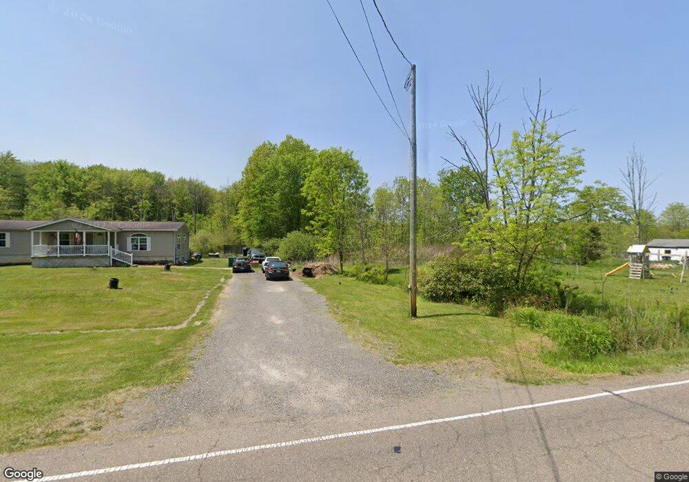
650 Layer Rd Leavittsburg, OH 44430
Estimated Value: $134,000 - $140,285
3
Beds
2
Baths
1,568
Sq Ft
$88/Sq Ft
Est. Value
About This Home
This home is located at 650 Layer Rd, Leavittsburg, OH 44430 and is currently estimated at $137,571, approximately $87 per square foot. 650 Layer Rd is a home located in Trumbull County with nearby schools including LaBrae Intermediate School, Bascom Elementary School, and LaBrae High School.
Ownership History
Date
Name
Owned For
Owner Type
Purchase Details
Closed on
Jul 19, 2006
Sold by
Marinkovich Linda
Bought by
Marinkovich Pete and Marinkovich Linda
Current Estimated Value
Home Financials for this Owner
Home Financials are based on the most recent Mortgage that was taken out on this home.
Original Mortgage
$62,000
Outstanding Balance
$36,970
Interest Rate
6.73%
Mortgage Type
Purchase Money Mortgage
Estimated Equity
$100,601
Purchase Details
Closed on
Jul 14, 2006
Sold by
Marinkovich Linda
Bought by
Marinkovich Pete and Marinkovich Linda
Home Financials for this Owner
Home Financials are based on the most recent Mortgage that was taken out on this home.
Original Mortgage
$62,000
Outstanding Balance
$36,970
Interest Rate
6.73%
Mortgage Type
Purchase Money Mortgage
Estimated Equity
$100,601
Purchase Details
Closed on
Mar 18, 2005
Sold by
Frederick William G and Frederick Penny L
Bought by
Marinkovich Linda
Purchase Details
Closed on
Jan 1, 1990
Bought by
Jeffane Warren
Create a Home Valuation Report for This Property
The Home Valuation Report is an in-depth analysis detailing your home's value as well as a comparison with similar homes in the area
Purchase History
| Date | Buyer | Sale Price | Title Company |
|---|---|---|---|
| Marinkovich Pete | -- | None Available | |
| Marinkovich Pete | -- | None Available | |
| Marinkovich Linda | $6,000 | -- | |
| Jeffane Warren | -- | -- |
Source: Public Records
Mortgage History
| Date | Status | Borrower | Loan Amount |
|---|---|---|---|
| Open | Marinkovich Linda | $62,000 | |
| Closed | Marinkovich Pete | $62,000 |
Source: Public Records
Tax History
| Year | Tax Paid | Tax Assessment Tax Assessment Total Assessment is a certain percentage of the fair market value that is determined by local assessors to be the total taxable value of land and additions on the property. | Land | Improvement |
|---|---|---|---|---|
| 2024 | $1,582 | $34,940 | $2,910 | $32,030 |
| 2023 | $1,706 | $34,940 | $2,910 | $32,030 |
| 2022 | $1,747 | $32,940 | $2,560 | $30,380 |
| 2021 | $1,898 | $32,940 | $2,560 | $30,380 |
| 2020 | $1,691 | $32,940 | $2,560 | $30,380 |
| 2019 | $1,559 | $28,140 | $2,380 | $25,760 |
| 2018 | $1,560 | $28,140 | $2,380 | $25,760 |
| 2017 | $1,555 | $28,140 | $2,380 | $25,760 |
| 2016 | $1,403 | $27,130 | $2,350 | $24,780 |
| 2015 | $1,422 | $27,130 | $2,350 | $24,780 |
| 2014 | $1,407 | $27,130 | $2,350 | $24,780 |
| 2013 | $1,470 | $28,710 | $2,350 | $26,360 |
Source: Public Records
Map
Nearby Homes
- 325 S Leavitt Rd
- 5450 Park Rd
- 4035 W Market St
- 728 Potic Dr
- 4749 Eagle Creek Rd
- 3295 Clearwater St NW
- 3106 Northwest Blvd NW
- 644 Southern Blvd NW
- 1647 Southern Blvd NW
- 690 Lener Ave SW
- 2855 Melgren Dr SW
- 3366 Eagle Creek Rd
- 2401 Stewart Dr NW
- 3000 Parkman Rd NW
- 0 Huntington Dr
- 4135 Leavitt Dr NW
- 2851 Carlton Dr NW
- 2770 Franwae Dr SW
- 1810 Northfield Ave NW
- 1935 Northfield Ave NW
- 6007 Burnett Rd
- 626 Layer Rd
- 675 Layer Rd
- 5973 Burnett Rd
- 5949 Burnett Rd
- 5937 Burnett Rd
- 6142 Burnett Rd
- 5925 Burnett Rd
- 5925 Burnett Rd
- 6152 Burnett Rd
- 805 Layer Rd
- 5891 Burnett Rd
- 5879 Burnett Rd
- 915 Layer Rd
- 6231 Burnett Rd
- 6231 Burnett Rd
- 5871 Burnett Rd
- 875 Layer Rd
- 6214 Burnett Rd
- 5861 Burnett Rd
Your Personal Tour Guide
Ask me questions while you tour the home.