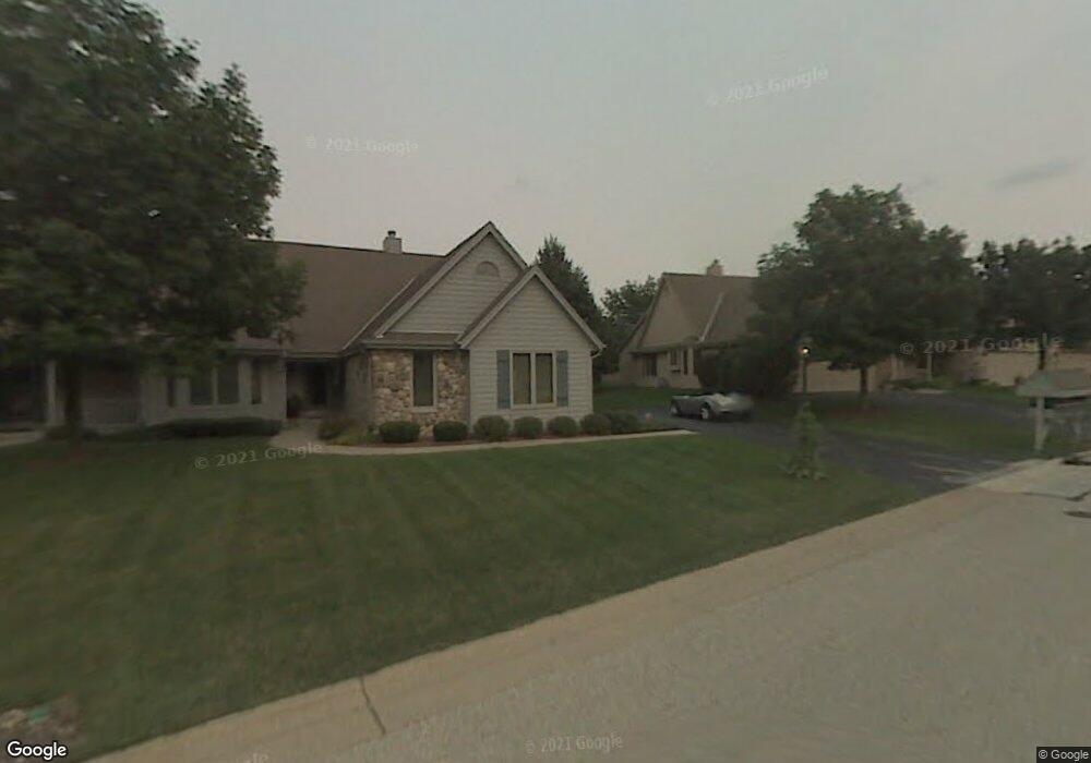
650 Mac Henry Cir Unit D Brookfield, WI 53045
Estimated Value: $463,694 - $676,000
2
Beds
2
Baths
1,754
Sq Ft
$296/Sq Ft
Est. Value
About This Home
This home is located at 650 Mac Henry Cir Unit D, Brookfield, WI 53045 and is currently estimated at $519,424, approximately $296 per square foot. 650 Mac Henry Cir Unit D is a home located in Waukesha County with nearby schools including John F. Miller School, Hillcrest Elementary School, and Horning Middle School.
Ownership History
Date
Name
Owned For
Owner Type
Purchase Details
Closed on
Aug 23, 2019
Sold by
Unser Mary Jane
Bought by
Manoli Sadanand
Current Estimated Value
Home Financials for this Owner
Home Financials are based on the most recent Mortgage that was taken out on this home.
Original Mortgage
$256,850
Outstanding Balance
$224,488
Interest Rate
3.6%
Mortgage Type
New Conventional
Estimated Equity
$294,936
Purchase Details
Closed on
Dec 28, 2008
Sold by
Martin Robert E and Martin Rena M
Bought by
Unser Arthur R and Unser Mary Jane
Create a Home Valuation Report for This Property
The Home Valuation Report is an in-depth analysis detailing your home's value as well as a comparison with similar homes in the area
Home Values in the Area
Average Home Value in this Area
Purchase History
| Date | Buyer | Sale Price | Title Company |
|---|---|---|---|
| Manoli Sadanand | $342,500 | None Available | |
| Unser Arthur R | $252,000 | None Available |
Source: Public Records
Mortgage History
| Date | Status | Borrower | Loan Amount |
|---|---|---|---|
| Open | Manoli Sadanand | $256,850 |
Source: Public Records
Tax History Compared to Growth
Tax History
| Year | Tax Paid | Tax Assessment Tax Assessment Total Assessment is a certain percentage of the fair market value that is determined by local assessors to be the total taxable value of land and additions on the property. | Land | Improvement |
|---|---|---|---|---|
| 2024 | $3,952 | $399,400 | $100,000 | $299,400 |
| 2023 | $3,943 | $399,400 | $100,000 | $299,400 |
| 2022 | $4,315 | $323,500 | $90,000 | $233,500 |
| 2021 | $4,365 | $323,500 | $90,000 | $233,500 |
| 2020 | $4,485 | $323,500 | $90,000 | $233,500 |
| 2019 | $3,610 | $268,000 | $90,000 | $178,000 |
| 2018 | $3,657 | $269,300 | $70,000 | $199,300 |
| 2017 | $4,341 | $269,300 | $70,000 | $199,300 |
| 2016 | $3,934 | $269,300 | $70,000 | $199,300 |
| 2015 | $3,746 | $269,300 | $70,000 | $199,300 |
| 2014 | $4,064 | $269,300 | $70,000 | $199,300 |
| 2013 | $4,064 | $269,300 | $70,000 | $199,300 |
Source: Public Records
Map
Nearby Homes
- 655 Mac Henry Cir Unit B
- 675 Charleston Ct Unit B
- 18785 Davidson Rd
- 18740 Emerald Cir Unit E
- 18520 Emerald Cir Unit F
- 18425 Emerald Dr Unit G
- 18290 Prairie Falcon Ln
- 550 McPride Ln Unit B
- 18925 Eagle Dr Unit 101
- 18925 Eagle Dr Unit 102
- 18925 Eagle Dr Unit 202
- 18925 Eagle Dr Unit 201
- 165 Aerie Cir Unit 105
- 18710 Follett Dr Unit 502
- 19770 Foxkirk Ct
- Lt1 Davidson Rd
- 18575 Brookfield Lake Dr Unit 61
- 18275 Brookfield Lake Dr Unit 93
- 17530 Burnet St
- 18415 W Wisconsin Ave Unit 18415
- 650 Mac Henry Cir Unit A
- 650 Mac Henry Cir Unit B
- 650 Mac Henry Cir
- 665 Mac Henry Cir Unit D
- 665 Mac Henry Cir Unit A
- 665 Mac Henry Cir Unit B
- 665C Mac Henry Cir
- 640 Mac Henry Cir Unit A
- 640 Mac Henry Cir Unit B
- 655 Mac Henry Cir Unit C
- 655 Mac Henry Cir Unit D
- 655 Mac Henry Cir Unit A
- 18905 Stonehedge Dr Unit C
- 18905 Stonehedge Dr Unit B
- 18905 Stonehedge Dr Unit A
- 18905 Stonehedge Dr Unit 18905
- 615 Mac Henry Cir Unit B
- 615 Mac Henry Cir Unit D
- 615 Mac Henry Cir Unit C
- 615 Mac Henry Cir