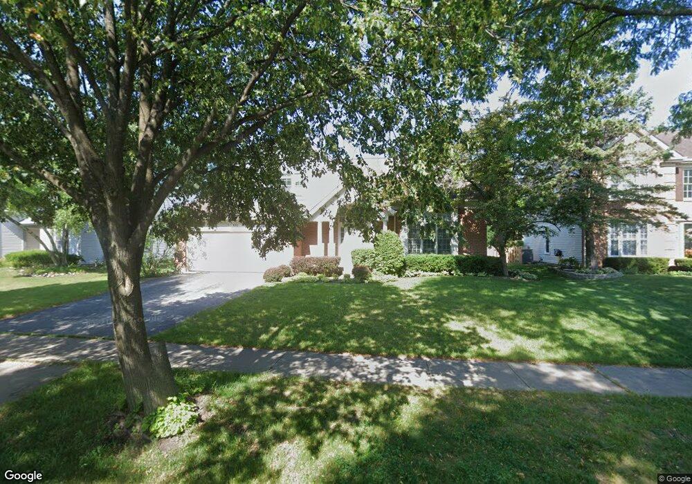
650 Mayfair Ln Buffalo Grove, IL 60089
South Buffalo Grove NeighborhoodEstimated Value: $540,818 - $630,000
3
Beds
3
Baths
2,278
Sq Ft
$260/Sq Ft
Est. Value
About This Home
This home is located at 650 Mayfair Ln, Buffalo Grove, IL 60089 and is currently estimated at $591,705, approximately $259 per square foot. 650 Mayfair Ln is a home located in Cook County with nearby schools including Henry W Longfellow Elementary School, Cooper Middle School, and Buffalo Grove High School.
Ownership History
Date
Name
Owned For
Owner Type
Purchase Details
Closed on
Feb 26, 2004
Sold by
Sangabriel Danilo P and Sangabriel Estrella B
Bought by
Fleydervish Mark and Fleydervish Polina
Current Estimated Value
Home Financials for this Owner
Home Financials are based on the most recent Mortgage that was taken out on this home.
Original Mortgage
$200,000
Interest Rate
5.66%
Mortgage Type
Unknown
Create a Home Valuation Report for This Property
The Home Valuation Report is an in-depth analysis detailing your home's value as well as a comparison with similar homes in the area
Home Values in the Area
Average Home Value in this Area
Purchase History
| Date | Buyer | Sale Price | Title Company |
|---|---|---|---|
| Fleydervish Mark | $435,000 | Atgf Inc |
Source: Public Records
Mortgage History
| Date | Status | Borrower | Loan Amount |
|---|---|---|---|
| Previous Owner | Fleydervish Mark | $200,000 | |
| Closed | Fleydervish Mark | $50,000 |
Source: Public Records
Tax History Compared to Growth
Tax History
| Year | Tax Paid | Tax Assessment Tax Assessment Total Assessment is a certain percentage of the fair market value that is determined by local assessors to be the total taxable value of land and additions on the property. | Land | Improvement |
|---|---|---|---|---|
| 2024 | $10,538 | $35,467 | $10,500 | $24,967 |
| 2023 | $10,850 | $36,241 | $10,500 | $25,741 |
| 2022 | $10,850 | $38,656 | $10,500 | $28,156 |
| 2021 | $10,988 | $34,431 | $7,437 | $26,994 |
| 2020 | $10,771 | $34,431 | $7,437 | $26,994 |
| 2019 | $11,564 | $40,777 | $7,437 | $33,340 |
| 2018 | $11,362 | $36,427 | $6,562 | $29,865 |
| 2017 | $11,519 | $37,452 | $6,562 | $30,890 |
| 2016 | $10,978 | $37,452 | $6,562 | $30,890 |
| 2015 | $9,623 | $30,950 | $5,687 | $25,263 |
| 2014 | $10,199 | $33,097 | $5,687 | $27,410 |
| 2013 | $9,612 | $33,752 | $5,687 | $28,065 |
Source: Public Records
Map
Nearby Homes
- 665 Thornwood Dr
- 455 Mayfair Ln
- 476 Raupp Blvd
- 250 Old Oak Dr Unit 275
- 234 Mohawk Trail
- 820 Weidner Rd Unit 409
- 535 Estate Dr
- 813 Stradford Cir Unit 21B2
- 310 Rosewood Ave
- 859 Beechwood Rd
- 410 Chatham Cir
- 561 Park View Terrace Unit 153
- 3300 N Carriageway Dr Unit 317
- 443 Diane Dr
- 10 Old Oak Dr Unit 103
- 3401 N Ellen Dr
- 51 Old Oak Dr Unit 414
- 51 Old Oak Dr Unit 302
- 408 Indian Hill Dr
- 921 Bernard Dr
- 640 Mayfair Ln
- 660 Mayfair Ln
- 645 Vernon Ct N
- 670 Mayfair Ln
- 635 Vernon Ct N
- 620 Mayfair Ct N
- 630 Mayfair Ct N
- 635 Mayfair Ln
- 655 Vernon Ct N
- 625 Mayfair Ln Unit 2
- 645 Mayfair Ln
- 680 Mayfair Ln
- 615 Mayfair Ln
- 610 Mayfair Ct N
- 655 Mayfair Ln
- 625 Vernon Ct N
- 605 Mayfair Ln
- 665 Mayfair Ct S
- 665 Vernon Ct N
- 690 Mayfair Ln