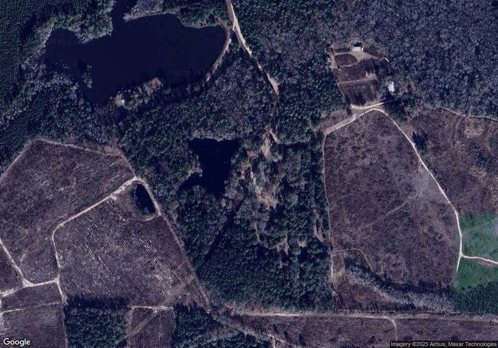
650 Mulberry Rd Sylvania, GA 30467
Estimated Value: $207,689 - $213,000
--
Bed
1
Bath
1,000
Sq Ft
$210/Sq Ft
Est. Value
About This Home
This home is located at 650 Mulberry Rd, Sylvania, GA 30467 and is currently estimated at $210,345, approximately $210 per square foot. 650 Mulberry Rd is a home located in Screven County with nearby schools including Screven County Elementary School, Screven County Middle School, and Screven County High School.
Ownership History
Date
Name
Owned For
Owner Type
Purchase Details
Closed on
Jun 26, 2024
Sold by
Chappelear Donna H
Bought by
Shidemantle Stacie E and Shidemantle Timothy J
Current Estimated Value
Purchase Details
Closed on
Oct 29, 2021
Sold by
Heath William A
Bought by
Mobley Anda H and Zeagler Debra H
Purchase Details
Closed on
Oct 20, 2021
Sold by
Heath William A
Bought by
Moore Carol H
Purchase Details
Closed on
Jun 18, 2019
Sold by
Heath Geneva E Estate
Bought by
Heath William A
Purchase Details
Closed on
Mar 26, 2004
Sold by
Waters Lucius Est
Bought by
Heath Andy
Purchase Details
Closed on
Sep 12, 1957
Bought by
Waters Lucius
Create a Home Valuation Report for This Property
The Home Valuation Report is an in-depth analysis detailing your home's value as well as a comparison with similar homes in the area
Home Values in the Area
Average Home Value in this Area
Purchase History
| Date | Buyer | Sale Price | Title Company |
|---|---|---|---|
| Shidemantle Stacie E | $206,559 | -- | |
| Mobley Anda H | -- | -- | |
| Moore Carol H | -- | -- | |
| Heath William A | -- | -- | |
| Heath Geneva E Estate | -- | -- | |
| Heath Andy | -- | -- | |
| Waters Lucius | -- | -- |
Source: Public Records
Tax History Compared to Growth
Tax History
| Year | Tax Paid | Tax Assessment Tax Assessment Total Assessment is a certain percentage of the fair market value that is determined by local assessors to be the total taxable value of land and additions on the property. | Land | Improvement |
|---|---|---|---|---|
| 2024 | $298 | $39,020 | $38,840 | $180 |
| 2023 | $298 | $39,020 | $38,840 | $180 |
| 2022 | $291 | $35,100 | $34,920 | $180 |
| 2021 | $1,059 | $51,704 | $31,600 | $20,104 |
| 2020 | $1,052 | $47,352 | $27,960 | $19,392 |
| 2019 | $1,053 | $47,676 | $27,960 | $19,716 |
| 2018 | $1,360 | $47,492 | $27,920 | $19,572 |
| 2017 | $1,360 | $47,492 | $27,920 | $19,572 |
| 2016 | $1,029 | $50,521 | $27,920 | $22,601 |
| 2015 | -- | $50,121 | $27,920 | $22,201 |
| 2014 | -- | $49,681 | $27,920 | $21,761 |
| 2013 | -- | $49,961 | $27,920 | $22,041 |
Source: Public Records
Map
Nearby Homes
- 711 Scrub Oak Rd
- 731 Deer Run Rd
- 0 Industrial Park Rd Unit 19161353
- 208 Wildwood Dr
- 104 Wildwood St
- 611 W Ogeechee St
- 1296 Millen Hwy
- 201 Waters Grove Rd
- 850 Buttermilk Rd
- 103 Live Oak Rd
- 455 Best Bridge Rd
- 222 Bridgeton Dr
- 221 N Main Streets
- 372 Pye Rd
- 0 Dune Ln Unit SA331767
- 501 N Main St
- 814 S Main St
- 112 Cail St
- 406 N Main St
- 0 S Fork Rd
