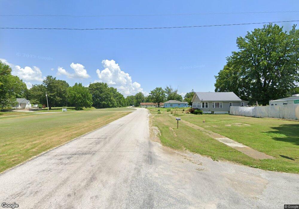
650 N Front St Olmsted, IL 62970
Estimated Value: $83,000 - $114,000
3
Beds
1
Bath
1,260
Sq Ft
$78/Sq Ft
Est. Value
About This Home
This home is located at 650 N Front St, Olmsted, IL 62970 and is currently estimated at $98,401, approximately $78 per square foot. 650 N Front St is a home located in Pulaski County with nearby schools including Meridian Elementary School, Meridian High School, and Caledonia Christian Academy.
Ownership History
Date
Name
Owned For
Owner Type
Purchase Details
Closed on
Oct 12, 2021
Sold by
Kenneth Maupin
Bought by
Maupin Eli Cameron
Current Estimated Value
Purchase Details
Closed on
Sep 17, 2014
Sold by
Lavada Lavada and Baggott Regina
Bought by
Maupin Kenny
Home Financials for this Owner
Home Financials are based on the most recent Mortgage that was taken out on this home.
Original Mortgage
$3,000
Interest Rate
4.15%
Mortgage Type
Purchase Money Mortgage
Create a Home Valuation Report for This Property
The Home Valuation Report is an in-depth analysis detailing your home's value as well as a comparison with similar homes in the area
Home Values in the Area
Average Home Value in this Area
Purchase History
| Date | Buyer | Sale Price | Title Company |
|---|---|---|---|
| Maupin Eli Cameron | -- | None Listed On Document | |
| Maupin Kenny | -- | -- |
Source: Public Records
Mortgage History
| Date | Status | Borrower | Loan Amount |
|---|---|---|---|
| Previous Owner | Maupin Kenny | $3,000 |
Source: Public Records
Tax History Compared to Growth
Tax History
| Year | Tax Paid | Tax Assessment Tax Assessment Total Assessment is a certain percentage of the fair market value that is determined by local assessors to be the total taxable value of land and additions on the property. | Land | Improvement |
|---|---|---|---|---|
| 2024 | $1,591 | $26,099 | $896 | $25,203 |
| 2023 | $1,591 | $23,611 | $811 | $22,800 |
| 2022 | $1,446 | $23,611 | $811 | $22,800 |
| 2021 | $57 | $8,846 | $2,333 | $6,513 |
| 2020 | $59 | $8,846 | $2,333 | $6,513 |
| 2019 | $57 | $8,846 | $2,333 | $6,513 |
| 2018 | $251 | $8,846 | $2,333 | $6,513 |
| 2017 | $249 | $7,244 | $701 | $6,543 |
| 2016 | $261 | $6,312 | $611 | $5,701 |
| 2015 | -- | $6,312 | $611 | $5,701 |
| 2014 | $241 | $6,312 | $611 | $5,701 |
| 2013 | $241 | $6,312 | $611 | $5,701 |
| 2012 | $241 | $6,312 | $611 | $5,701 |
Source: Public Records
Map
Nearby Homes
- 550 S Vienna St
- 000 Center Church Rd
- 1243 Monkeys Eyebrow Rd
- 601 Ohio St
- 001 Olmsted Rd
- 2306 Monkeys Eyebrow Rd
- 1002 Shumaker Rd
- 1447 Ogden Colvin Cir
- 000 State Route 51 Route
- 3265 Ogden Colvin Cir
- 3265 Ogden-Colvin Cir
- 114 S Spencer St
- 235 Main St
- 473 Needmore Rd
- 1408 Illinois 169
- 130 S Blanche St
- 0 Hickory St Unit 120847
- 0 Holloway Landing Rd
- 359 Lap Rollings Rd
- 4844 Bandana Rd
- 490 N Front St
- 200 Front St
- 450 N Front St
- 670 N Front St
- 250 E Baltimore St
- 461 Beggs Ln
- 410 N Front St
- 365 2nd St
- 410 Ridge St
- 701 E Baltimore St
- 291 N 2nd St
- 290 N St St
- 351 S Front St
- 680 E Baltimore St
- 255 E Caledonia St
- 301 E Caledonia St
- 350 W Caledonia St
- 320 W Caledonia St
- 300 E Caledonia St