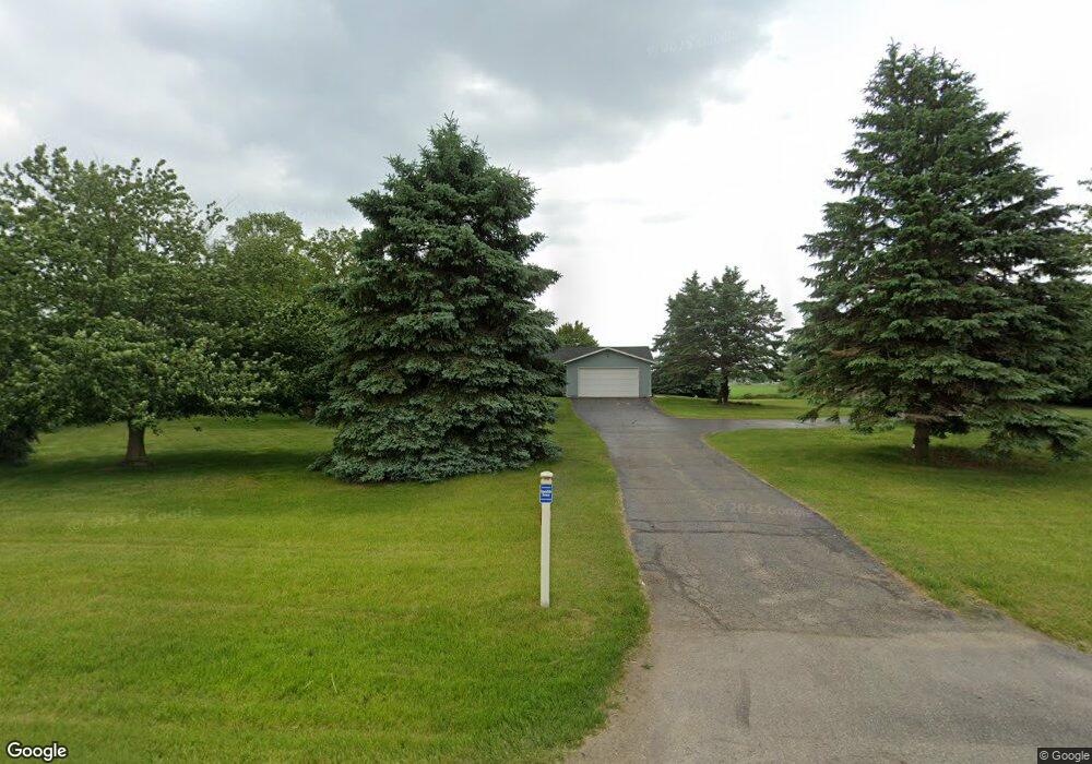
650 N Patterson Rd Wayland, MI 49348
Estimated Value: $439,000 - $464,000
--
Bed
3
Baths
1,396
Sq Ft
$326/Sq Ft
Est. Value
About This Home
This home is located at 650 N Patterson Rd, Wayland, MI 49348 and is currently estimated at $455,270, approximately $326 per square foot. 650 N Patterson Rd is a home located in Barry County with nearby schools including McFall Elementary School, Page Elementary School, and Lee Elementary School.
Ownership History
Date
Name
Owned For
Owner Type
Purchase Details
Closed on
Dec 3, 2024
Sold by
Paul J Harrison Trust and Harrison Paul J
Bought by
Weston Bradey and Smith Anna
Current Estimated Value
Purchase Details
Closed on
Jun 14, 2018
Sold by
Harrison Paul J and Harrison Sandra L
Bought by
Harrison Paul J and The Paul J Harrison Trust
Purchase Details
Closed on
Aug 4, 1999
Bought by
Harrison Paul and Harrison Sandra
Create a Home Valuation Report for This Property
The Home Valuation Report is an in-depth analysis detailing your home's value as well as a comparison with similar homes in the area
Home Values in the Area
Average Home Value in this Area
Purchase History
| Date | Buyer | Sale Price | Title Company |
|---|---|---|---|
| Weston Bradey | $420,000 | Dream Title And Escrow Agency | |
| Weston Bradey | $420,000 | Dream Title And Escrow Agency | |
| Harrison Paul J | -- | None Available | |
| Harrison Paul | $160,000 | -- |
Source: Public Records
Tax History Compared to Growth
Tax History
| Year | Tax Paid | Tax Assessment Tax Assessment Total Assessment is a certain percentage of the fair market value that is determined by local assessors to be the total taxable value of land and additions on the property. | Land | Improvement |
|---|---|---|---|---|
| 2025 | $3,795 | $197,400 | $0 | $0 |
| 2024 | $3,795 | $176,500 | $0 | $0 |
| 2023 | $3,519 | $136,800 | $0 | $0 |
| 2022 | $3,519 | $136,800 | $0 | $0 |
| 2021 | $3,519 | $126,600 | $0 | $0 |
| 2020 | $3,418 | $117,400 | $0 | $0 |
| 2019 | $3,418 | $116,900 | $0 | $0 |
| 2018 | $3,248 | $106,900 | $15,500 | $91,400 |
| 2017 | $3,248 | $106,900 | $0 | $0 |
| 2016 | -- | $98,600 | $0 | $0 |
| 2015 | -- | $100,400 | $0 | $0 |
| 2014 | -- | $100,400 | $0 | $0 |
Source: Public Records
Map
Nearby Homes
- 12720 S Grey Ct
- 1164 E Bernie Ct
- 12811 Charles Dr
- 12857 Michael Dr Unit 49
- 1391 Shadowridge Dr
- 11753 Rosemary Ln
- 11751 Rosemary Ln
- 12031 Sandstone Dr
- 12169 Pine Meadows Dr
- 2615 Harwood Lake Rd
- 11401 Davis Rd
- 1736 Parker Dr
- 1875 Edwin Dr
- 1980 Parker Dr
- 1823 Starr View Ln Unit 11
- Lot 7 Reflection Pond Dr
- 11065 W M 179 Hwy
- 12712 Sunrise Ct
- 2724 Pasture Ln
- 35 Cannonball Ln
- 600 N Patterson Rd
- 15 133rd Ave
- 12955 Bowens Mill Rd
- 12850 Bowens Mill Rd
- 3298 Patterson Rd
- 12855 Bowens Mill Rd
- 3284 Patterson Rd
- 12755 Bowens Mill Rd
- 460 N Patterson Rd
- 51 133rd Ave
- 12760 Bowens Mill Rd
- 55 133rd Ave
- 900 N Patterson Rd
- 410 N Patterson Rd
- 12750 Bowens Mill Rd
- 3388 Patterson Rd
- 56 133rd Ave
- 950 N Patterson Rd
- 12655 Bowens Mill Rd
- 382 N Patterson Rd