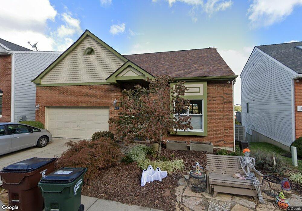
650 Pointe Benton Ln Covington, KY 41014
Peaselburg NeighborhoodEstimated Value: $253,000 - $520,000
3
Beds
3
Baths
1,611
Sq Ft
$240/Sq Ft
Est. Value
About This Home
This home is located at 650 Pointe Benton Ln, Covington, KY 41014 and is currently estimated at $386,604, approximately $239 per square foot. 650 Pointe Benton Ln is a home located in Kenton County with nearby schools including Holmes High School, Prince of Peace School, and Saint Augustine Catholic School.
Ownership History
Date
Name
Owned For
Owner Type
Purchase Details
Closed on
Aug 25, 2016
Sold by
Ramsey Linda R
Bought by
Durham Bernard G and Durham Jennifer L
Current Estimated Value
Home Financials for this Owner
Home Financials are based on the most recent Mortgage that was taken out on this home.
Original Mortgage
$23,249
Outstanding Balance
$14,533
Interest Rate
3.43%
Mortgage Type
Credit Line Revolving
Estimated Equity
$372,071
Purchase Details
Closed on
May 10, 2000
Sold by
Pauline M Tabar Trst
Bought by
Ramsey William R and Ramsey Linda R
Create a Home Valuation Report for This Property
The Home Valuation Report is an in-depth analysis detailing your home's value as well as a comparison with similar homes in the area
Home Values in the Area
Average Home Value in this Area
Purchase History
| Date | Buyer | Sale Price | Title Company |
|---|---|---|---|
| Durham Bernard G | $232,500 | Attorney | |
| Ramsey William R | $175,000 | -- |
Source: Public Records
Mortgage History
| Date | Status | Borrower | Loan Amount |
|---|---|---|---|
| Open | Durham Bernard G | $23,249 | |
| Open | Durham Bernard G | $186,000 |
Source: Public Records
Tax History
| Year | Tax Paid | Tax Assessment Tax Assessment Total Assessment is a certain percentage of the fair market value that is determined by local assessors to be the total taxable value of land and additions on the property. | Land | Improvement |
|---|---|---|---|---|
| 2025 | $4,216 | $318,200 | $20,000 | $298,200 |
| 2024 | $4,184 | $318,200 | $20,000 | $298,200 |
| 2023 | $4,238 | $318,200 | $20,000 | $298,200 |
| 2022 | $4,194 | $318,200 | $20,000 | $298,200 |
| 2021 | $3,551 | $232,500 | $20,000 | $212,500 |
| 2020 | $3,533 | $232,500 | $20,000 | $212,500 |
| 2019 | $3,573 | $232,500 | $20,000 | $212,500 |
| 2018 | $3,648 | $232,500 | $20,000 | $212,500 |
| 2017 | $3,702 | $232,500 | $20,000 | $212,500 |
| 2015 | $3,493 | $180,000 | $20,000 | $160,000 |
| 2014 | $3,440 | $180,000 | $20,000 | $160,000 |
Source: Public Records
Map
Nearby Homes
- 651 Pointe Benton Ln
- 2010 Howell St
- 1821 Jefferson Ave Unit 23
- 218 W 21st St
- 768 Highland Ave
- 1718 Woodburn Ave
- 2439 Warren St
- 1614 Euclid Ave
- 1721 Russell St
- 1712 Banklick St
- 312 Boone St
- 1629 Russell St
- 1549 Woodburn Ave
- 907 Highland Ave
- 534 Scenic Dr
- 16 E 18th St
- 1532 Banklick St
- 1505 Morton Ave
- 2009 Greenup St
- 1502 Morton Ave
- 648 Pointe Benton Ln
- 652 Pointe Benton Ln
- 646 Pointe Benton Ln
- 654 Pointe Benton Ln
- 2025A Franklin St Unit B
- 1912 Heidel Ave
- 644 Pointe Benton Ln
- 2025 Franklin St
- 656 Pointe Benton Ln
- 653 Pointe Benton Ln
- 2023 Franklin St
- 2027 Franklin St
- 1923 Franklin St
- 642 Pointe Benton Ln
- 1908 Heidel Ave
- 658 Pointe Benton Ln
- 1908 Heidel St
- 1919 Franklin St
- 2029 Franklin St
- 621 W 19th St
Your Personal Tour Guide
Ask me questions while you tour the home.