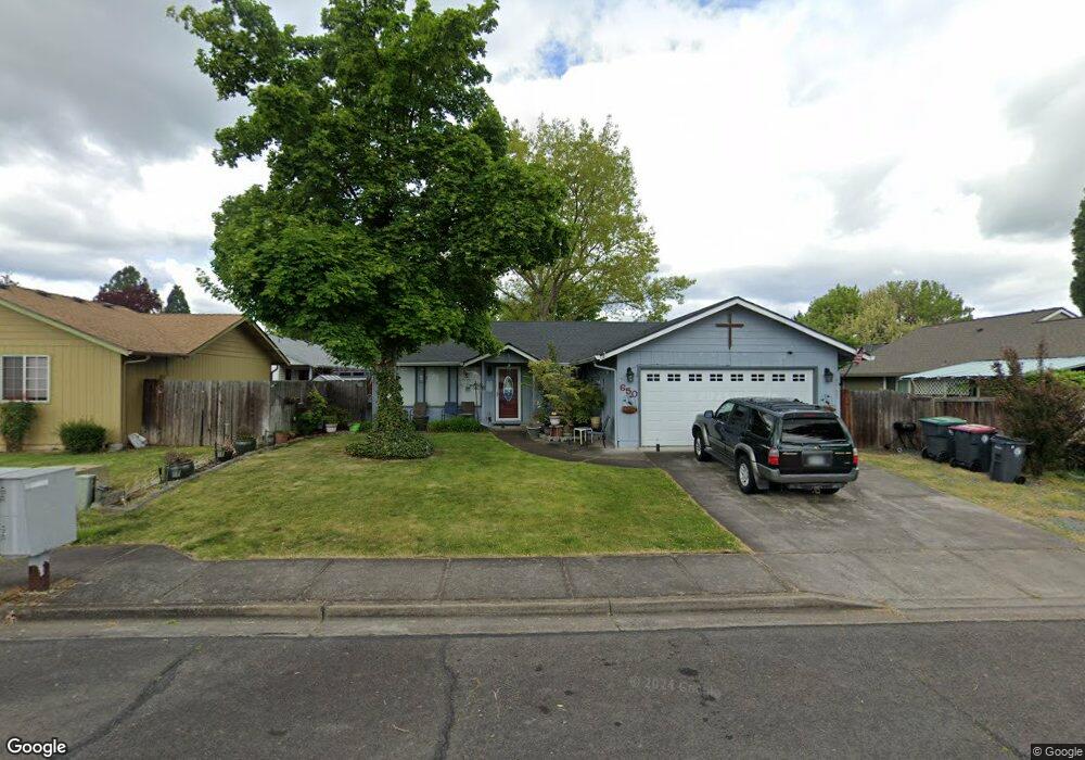
650 Primrose Dr Central Point, OR 97502
Estimated Value: $373,478 - $385,000
3
Beds
2
Baths
1,536
Sq Ft
$247/Sq Ft
Est. Value
About This Home
This home is located at 650 Primrose Dr, Central Point, OR 97502 and is currently estimated at $379,120, approximately $246 per square foot. 650 Primrose Dr is a home located in Jackson County with nearby schools including Central Point Elementary School, Scenic Middle School, and Crater High School.
Ownership History
Date
Name
Owned For
Owner Type
Purchase Details
Closed on
Dec 20, 2023
Sold by
Eddings Karl D
Bought by
Eddings Lori S
Current Estimated Value
Purchase Details
Closed on
Feb 8, 2001
Sold by
Eddings Karl D
Bought by
Eddings Karl D and Eddings Lori S
Purchase Details
Closed on
Aug 29, 2000
Sold by
Capp Kenneth E and Capp Diane
Bought by
Eddings Karl D
Home Financials for this Owner
Home Financials are based on the most recent Mortgage that was taken out on this home.
Original Mortgage
$128,520
Interest Rate
8.2%
Mortgage Type
VA
Create a Home Valuation Report for This Property
The Home Valuation Report is an in-depth analysis detailing your home's value as well as a comparison with similar homes in the area
Purchase History
| Date | Buyer | Sale Price | Title Company |
|---|---|---|---|
| Eddings Lori S | -- | Ticor Title | |
| Eddings Karl D | -- | -- | |
| Eddings Karl D | $126,000 | Jackson County Title |
Source: Public Records
Mortgage History
| Date | Status | Borrower | Loan Amount |
|---|---|---|---|
| Previous Owner | Eddings Karl D | $128,520 |
Source: Public Records
Tax History
| Year | Tax Paid | Tax Assessment Tax Assessment Total Assessment is a certain percentage of the fair market value that is determined by local assessors to be the total taxable value of land and additions on the property. | Land | Improvement |
|---|---|---|---|---|
| 2026 | $3,317 | $200,450 | -- | -- |
| 2025 | $3,236 | $194,620 | $58,520 | $136,100 |
| 2024 | $3,236 | $188,960 | $56,810 | $132,150 |
| 2023 | $3,132 | $183,460 | $55,160 | $128,300 |
| 2022 | $3,059 | $183,460 | $55,160 | $128,300 |
| 2021 | $2,971 | $178,120 | $53,550 | $124,570 |
| 2020 | $2,885 | $172,940 | $51,990 | $120,950 |
| 2019 | $2,814 | $163,020 | $49,010 | $114,010 |
| 2018 | $2,728 | $158,280 | $47,580 | $110,700 |
| 2017 | $2,659 | $158,280 | $47,580 | $110,700 |
| 2016 | $2,582 | $149,200 | $44,860 | $104,340 |
| 2015 | $2,474 | $149,200 | $44,860 | $104,340 |
| 2014 | $2,411 | $140,650 | $42,290 | $98,360 |
Source: Public Records
Map
Nearby Homes
- 906 Brandi Way
- 533 Brittni Ln
- 512 Village Dr Unit B5
- 934 Pittview Ave
- 3364 Bursell Rd
- 850 Forest Glen Dr
- 1204 Heather Ln
- 3358 Bursell Rd
- 1025 Fairfield Ave
- 555 Freeman Rd Unit 73
- 555 Freeman Rd Unit 254
- 555 Freeman Rd Unit 105
- 555 Freeman Rd Unit 209
- 1258 Joshua Ct
- 301 Freeman Rd Unit 30
- 301 Freeman Rd Unit 92
- 301 Freeman Rd Unit 91
- 301 Freeman Rd Unit 90
- 959 Westrop Dr
- 647 Shadow Way
- 861 Juanita Way
- 690 Primrose Dr
- 892 Hopkins Rd
- 874 Hopkins Rd
- 858 Hopkins Rd
- 651 Primrose Dr
- 691 Primrose Dr
- 611 Primrose Dr
- 841 Juanita Way
- 850 Hopkins Rd
- 865 Hopkins Rd
- 870 Juanita Way
- 860 Juanita Way
- 859 Hopkins Rd
- 902 Hopkins Rd
- 880 Juanita Way
- 842 Hopkins Rd
- 3664 Bursell Rd
- 850 Juanita Way
- 900 Juanita Way
Your Personal Tour Guide
Ask me questions while you tour the home.