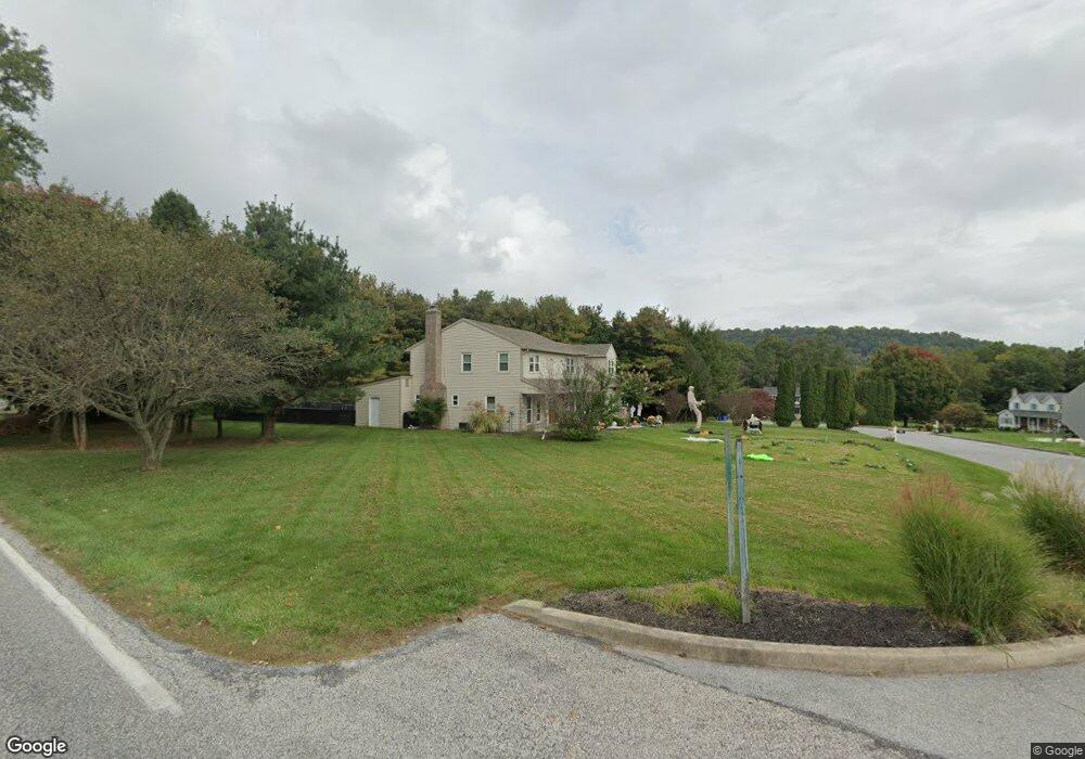
650 Red Fox Ct Lewisberry, PA 17339
Estimated Value: $474,181 - $578,000
4
Beds
3
Baths
2,771
Sq Ft
$187/Sq Ft
Est. Value
About This Home
This home is located at 650 Red Fox Ct, Lewisberry, PA 17339 and is currently estimated at $519,295, approximately $187 per square foot. 650 Red Fox Ct is a home located in York County with nearby schools including Fairview Elementary School, Crossroads Middle School, and Red Land Senior High School.
Ownership History
Date
Name
Owned For
Owner Type
Purchase Details
Closed on
Jun 7, 2011
Sold by
Parker William R and Parker Elaine M
Bought by
Stoltz Jeffrey C and Stoltz Amy
Current Estimated Value
Home Financials for this Owner
Home Financials are based on the most recent Mortgage that was taken out on this home.
Original Mortgage
$274,900
Outstanding Balance
$189,421
Interest Rate
4.62%
Mortgage Type
VA
Estimated Equity
$329,874
Purchase Details
Closed on
Oct 4, 1993
Bought by
Parker William R and Parker Elaine M
Create a Home Valuation Report for This Property
The Home Valuation Report is an in-depth analysis detailing your home's value as well as a comparison with similar homes in the area
Home Values in the Area
Average Home Value in this Area
Purchase History
| Date | Buyer | Sale Price | Title Company |
|---|---|---|---|
| Stoltz Jeffrey C | $274,900 | None Available | |
| Parker William R | $34,500 | -- |
Source: Public Records
Mortgage History
| Date | Status | Borrower | Loan Amount |
|---|---|---|---|
| Open | Stoltz Jeffrey C | $274,900 |
Source: Public Records
Tax History Compared to Growth
Tax History
| Year | Tax Paid | Tax Assessment Tax Assessment Total Assessment is a certain percentage of the fair market value that is determined by local assessors to be the total taxable value of land and additions on the property. | Land | Improvement |
|---|---|---|---|---|
| 2025 | $6,645 | $253,810 | $40,020 | $213,790 |
| 2024 | $6,293 | $253,810 | $40,020 | $213,790 |
| 2023 | $6,120 | $253,810 | $40,020 | $213,790 |
| 2022 | $6,101 | $253,810 | $40,020 | $213,790 |
| 2021 | $5,740 | $253,810 | $40,020 | $213,790 |
| 2020 | $5,671 | $253,810 | $40,020 | $213,790 |
| 2019 | $5,572 | $253,810 | $40,020 | $213,790 |
| 2018 | $5,463 | $253,810 | $40,020 | $213,790 |
| 2017 | $5,279 | $253,810 | $40,020 | $213,790 |
| 2016 | $0 | $253,810 | $40,020 | $213,790 |
| 2015 | -- | $253,810 | $40,020 | $213,790 |
| 2014 | -- | $253,810 | $40,020 | $213,790 |
Source: Public Records
Map
Nearby Homes
- 612 Black Powder Dr
- 565 Nauvoo Rd
- 706 Pleasant View Rd
- 719 Pleasant View Rd
- 633 Potts Hill Rd
- 709 Fishing Creek Rd
- 100 Scully Place
- 142 Scully Place
- 103 Scully Place
- 614 Copper Cir
- 317 Hillcrest Dr
- 701 Potts Hill Rd
- 491 Pine Ridge Cir
- 531 Windy Way
- 327 Shuey Rd
- 465 Pleasantview Rd
- 0 Catherine Ct
- 500 Windy Way
- 18 Kingswood Dr
- 12 Kingswood Dr