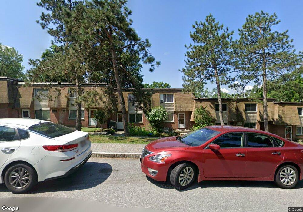
650 Robbins Ave Unit 38 Dracut, MA 01826
Estimated Value: $291,000 - $354,000
2
Beds
2
Baths
1,044
Sq Ft
$304/Sq Ft
Est. Value
About This Home
This home is located at 650 Robbins Ave Unit 38, Dracut, MA 01826 and is currently estimated at $317,526, approximately $304 per square foot. 650 Robbins Ave Unit 38 is a home located in Middlesex County with nearby schools including Greenmont Avenue School, Richardson Middle School, and Dracut Senior High School.
Ownership History
Date
Name
Owned For
Owner Type
Purchase Details
Closed on
Jul 21, 2021
Sold by
Beaudoin Robert H and Beaudoin Sharon A
Bought by
Beaudoin Ft
Current Estimated Value
Purchase Details
Closed on
Apr 7, 1986
Bought by
Beaudoin Robert H and King Sharon A
Create a Home Valuation Report for This Property
The Home Valuation Report is an in-depth analysis detailing your home's value as well as a comparison with similar homes in the area
Home Values in the Area
Average Home Value in this Area
Purchase History
| Date | Buyer | Sale Price | Title Company |
|---|---|---|---|
| Beaudoin Ft | -- | None Available | |
| Beaudoin Robert H | $82,900 | -- |
Source: Public Records
Mortgage History
| Date | Status | Borrower | Loan Amount |
|---|---|---|---|
| Previous Owner | Beaudoin Robert H | $96,000 |
Source: Public Records
Tax History
| Year | Tax Paid | Tax Assessment Tax Assessment Total Assessment is a certain percentage of the fair market value that is determined by local assessors to be the total taxable value of land and additions on the property. | Land | Improvement |
|---|---|---|---|---|
| 2025 | $2,950 | $291,500 | $0 | $291,500 |
| 2024 | $2,769 | $265,000 | $0 | $265,000 |
| 2023 | $2,381 | $205,600 | $0 | $205,600 |
| 2022 | $2,161 | $175,800 | $0 | $175,800 |
| 2021 | $2,115 | $162,600 | $0 | $162,600 |
| 2020 | $2,031 | $152,100 | $0 | $152,100 |
| 2019 | $1,893 | $137,700 | $0 | $137,700 |
| 2018 | $1,907 | $134,900 | $0 | $134,900 |
| 2017 | $1,830 | $134,900 | $0 | $134,900 |
| 2016 | $1,530 | $103,100 | $0 | $103,100 |
| 2015 | $1,302 | $87,200 | $0 | $87,200 |
| 2014 | $1,285 | $88,700 | $0 | $88,700 |
Source: Public Records
Map
Nearby Homes
- 668 Robbins Ave Unit 1
- 700 Robbins Ave Unit 6
- 4 Hazelwood Ave Unit 12
- 144 Thissell Ave Unit 11
- 175 Willard St Unit 9
- 40 Arlington Ave
- 10 Lanseigne St
- 23 18th St
- 35 Whitney Ave Unit 33
- 69 Arlington St
- 163 Newbury St
- 18 May St
- 1391 Bridge St
- 54 Montaup Ave
- 106 Methuen St Unit B
- Lot 11 Christian St
- Lot 12 Christian St
- Lot 9 Christian St
- Lot 10 Christian St
- 367 Hildreth St Unit 33
- 650 Robbins Ave Unit 47
- 650 Robbins Ave Unit 46
- 650 Robbins Ave Unit 45
- 650 Robbins Ave Unit 44
- 650 Robbins Ave Unit 43
- 650 Robbins Ave Unit 42
- 650 Robbins Ave Unit 41
- 650 Robbins Ave Unit 40
- 650 Robbins Ave Unit 39
- 650 Robbins Ave Unit 37
- 650 Robbins Ave Unit 36
- 650 Robbins Ave Unit 35
- 650 Robbins Ave Unit 34
- 650 Robbins Ave Unit 32
- 650 Robbins Ave Unit 31
- 650 Robbins Ave Unit 30
- 650 Robbins Ave Unit 29
- 650 Robbins Ave Unit 28
- 650 Robbins Ave Unit 27
- 650 Robbins Ave Unit 46,650
Your Personal Tour Guide
Ask me questions while you tour the home.