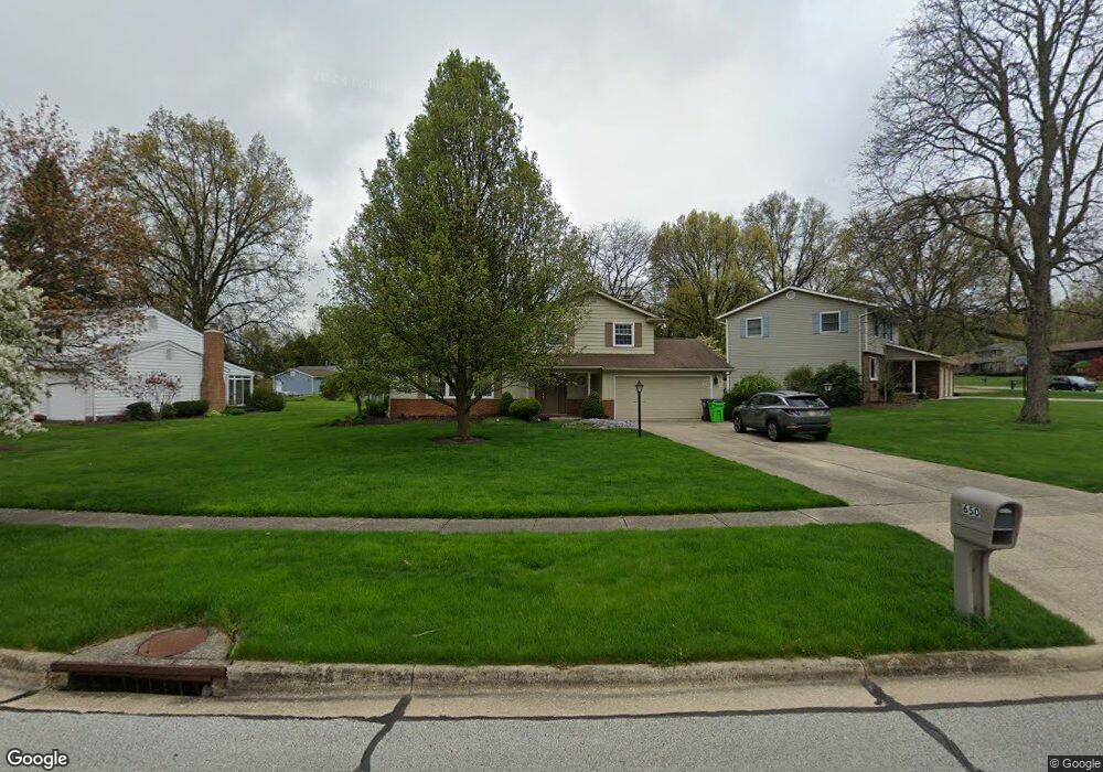
650 Timothy Dr Tallmadge, OH 44278
Estimated Value: $303,000 - $341,000
3
Beds
4
Baths
1,892
Sq Ft
$168/Sq Ft
Est. Value
About This Home
This home is located at 650 Timothy Dr, Tallmadge, OH 44278 and is currently estimated at $318,602, approximately $168 per square foot. 650 Timothy Dr is a home located in Summit County with nearby schools including Tallmadge Middle School, Tallmadge High School, and Steel Academy.
Ownership History
Date
Name
Owned For
Owner Type
Purchase Details
Closed on
Nov 16, 2017
Sold by
Schreiner Adolf and Schreiner Helga
Bought by
Evans Jonathan Paul and Evans Erica
Current Estimated Value
Home Financials for this Owner
Home Financials are based on the most recent Mortgage that was taken out on this home.
Original Mortgage
$170,050
Outstanding Balance
$142,494
Interest Rate
3.85%
Mortgage Type
New Conventional
Estimated Equity
$176,108
Purchase Details
Closed on
Jan 9, 1995
Sold by
Stalnaker William C
Bought by
Schreiner Adolf and Schreiner Helga
Home Financials for this Owner
Home Financials are based on the most recent Mortgage that was taken out on this home.
Original Mortgage
$95,000
Interest Rate
7.13%
Mortgage Type
New Conventional
Create a Home Valuation Report for This Property
The Home Valuation Report is an in-depth analysis detailing your home's value as well as a comparison with similar homes in the area
Home Values in the Area
Average Home Value in this Area
Purchase History
| Date | Buyer | Sale Price | Title Company |
|---|---|---|---|
| Evans Jonathan Paul | $179,000 | Village Title Agency Llc | |
| Schreiner Adolf | $59,900 | -- |
Source: Public Records
Mortgage History
| Date | Status | Borrower | Loan Amount |
|---|---|---|---|
| Open | Evans Jonathan Paul | $170,050 | |
| Previous Owner | Schreiner Adolf | $95,000 |
Source: Public Records
Tax History Compared to Growth
Tax History
| Year | Tax Paid | Tax Assessment Tax Assessment Total Assessment is a certain percentage of the fair market value that is determined by local assessors to be the total taxable value of land and additions on the property. | Land | Improvement |
|---|---|---|---|---|
| 2025 | $4,080 | $83,664 | $14,756 | $68,908 |
| 2024 | $4,080 | $83,664 | $14,756 | $68,908 |
| 2023 | $4,080 | $81,813 | $14,756 | $67,057 |
| 2022 | $3,213 | $52,665 | $12,096 | $40,569 |
| 2021 | $3,361 | $54,845 | $12,096 | $42,749 |
| 2020 | $3,334 | $54,850 | $12,100 | $42,750 |
| 2019 | $3,561 | $52,390 | $13,930 | $38,460 |
| 2018 | $3,137 | $52,390 | $13,930 | $38,460 |
| 2017 | $2,051 | $52,390 | $13,930 | $38,460 |
| 2016 | $2,212 | $42,690 | $13,930 | $28,760 |
| 2015 | $2,051 | $42,690 | $13,930 | $28,760 |
| 2014 | $2,037 | $42,690 | $13,930 | $28,760 |
| 2013 | $2,016 | $42,960 | $13,930 | $29,030 |
Source: Public Records
Map
Nearby Homes
- 185 Reserve Dr
- 243 S Munroe Rd
- 288 S Munroe Rd
- 0 East Ave
- 213 Green Hill Dr
- 206 Fawnwood Dr
- 810 Norton Dr
- 821 Olde Orchard Dr
- 988 Beechwood Dr
- 353 Southeast Ave
- 313 Southeast Ave
- 1029 Maple St
- 523 S Munroe Rd
- 549 S Munroe Rd
- 786 Southeast Ave
- 313 Whittlesey Dr
- 1168 East Ave
- 1072 Carol Ln
- 330 Hanna Dr
- 130 Strecker Dr
- 630 Timothy Dr
- 660 Timothy Dr
- 616 Timothy Dr
- 670 Timothy Dr
- 641 Timothy Dr
- 675 Stafford Dr
- 606 Timothy Dr
- 635 Timothy Dr
- 671 Timothy Dr
- 640 Stafford Dr
- 684 Timothy Dr
- 626 Stafford Dr
- 615 Timothy Dr
- 596 Timothy Dr
- 3304 Stafford Dr
- 3312 Stafford Dr
- 122 S Munroe Rd
- 681 Timothy Dr
- 128 S Munroe Rd
- 621 Timothy Dr