Estimated Value: $50,000
2
Beds
1
Bath
840
Sq Ft
$60/Sq Ft
Est. Value
About This Home
This home is located at 650 W Pony Express Rd, Ayr, NE 68925 and is currently estimated at $50,000, approximately $59 per square foot. 650 W Pony Express Rd is a home located in Adams County with nearby schools including Wallace School, Adams Central Elementary School, and Adams County 15.
Ownership History
Date
Name
Owned For
Owner Type
Purchase Details
Closed on
Oct 19, 2023
Sold by
Cheryl L Kostal Revocable Trust
Bought by
Celeste B Hawley Trust and Hawley
Current Estimated Value
Home Financials for this Owner
Home Financials are based on the most recent Mortgage that was taken out on this home.
Original Mortgage
$420,000
Outstanding Balance
$415,107
Interest Rate
7.12%
Mortgage Type
New Conventional
Estimated Equity
-$101,107
Create a Home Valuation Report for This Property
The Home Valuation Report is an in-depth analysis detailing your home's value as well as a comparison with similar homes in the area
Home Values in the Area
Average Home Value in this Area
Purchase History
| Date | Buyer | Sale Price | Title Company |
|---|---|---|---|
| Celeste B Hawley Trust | $500,000 | Southern Title |
Source: Public Records
Mortgage History
| Date | Status | Borrower | Loan Amount |
|---|---|---|---|
| Open | Celeste B Hawley Trust | $420,000 | |
| Previous Owner | Kostal Otto A | $256,500 | |
| Previous Owner | Kostal Cheryl Lee | $296,000 |
Source: Public Records
Tax History Compared to Growth
Tax History
| Year | Tax Paid | Tax Assessment Tax Assessment Total Assessment is a certain percentage of the fair market value that is determined by local assessors to be the total taxable value of land and additions on the property. | Land | Improvement |
|---|---|---|---|---|
| 2024 | $2,128 | $259,413 | $163,426 | $95,987 |
| 2023 | $2,713 | $233,778 | $153,761 | $80,017 |
| 2022 | $3,093 | $241,243 | $153,711 | $87,532 |
| 2021 | $2,895 | $240,716 | $158,911 | $81,805 |
| 2020 | $2,811 | $241,624 | $163,715 | $77,909 |
| 2019 | $2,786 | $251,434 | $175,794 | $75,640 |
| 2018 | $2,676 | $237,430 | $161,790 | $75,640 |
| 2017 | $2,638 | $103,140 | $0 | $0 |
| 2016 | $2,559 | $0 | $0 | $0 |
| 2010 | $2,452 | $163,130 | $97,665 | $65,465 |
Source: Public Records
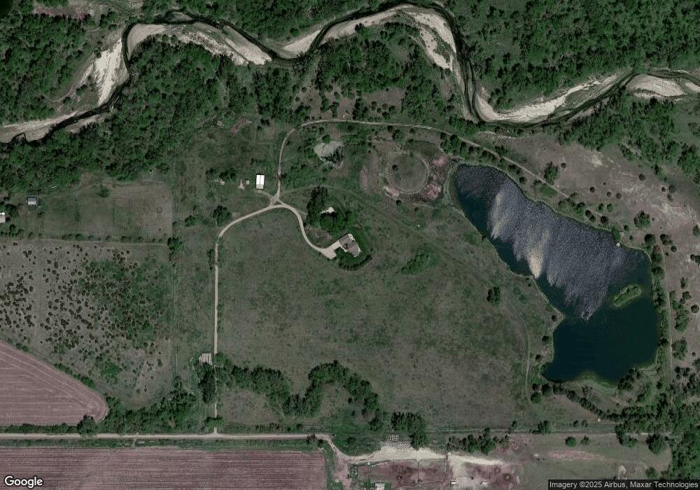
Map
Nearby Homes
- 2595 W Riverside Rd
- 35 Haymeadow Ridge
- 34 Haymeadow Ridge
- 28 Haymeadow Ridge
- 24 Haymeadow Ridge
- 22 Haymeadow Ridge
- 20 Haymeadow Ridge
- 10 Haymeadow Ridge
- 9 Haymeadow Ridge
- 3110 S Smokey Hill Rd
- 3100 S Southern Hills Dr
- 1820 S Wabash Ave
- 2655 S Deer Trail
- 1002 S Lincoln Ave
- 1140 Renae Ln
- 810 S Hastings Ave
- Lot S California
- 807 S Rhode Island Ave
- 745 S Franklin Ave
- 734 S Saint Joseph Ave