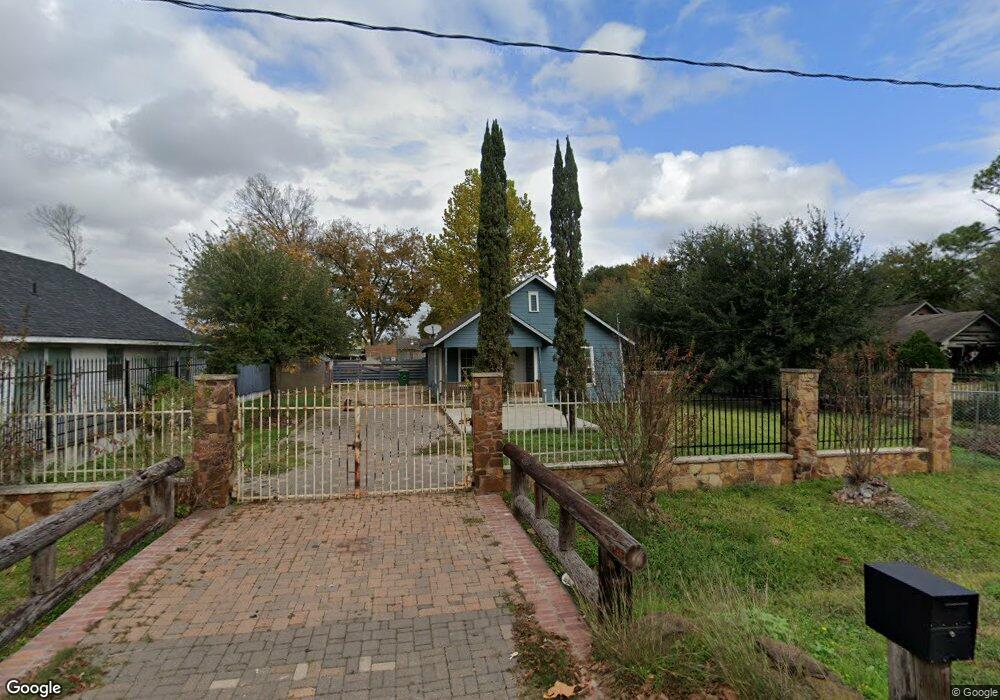
650 W Rittenhouse Rd Houston, TX 77091
Northside-Northline NeighborhoodEstimated Value: $120,000 - $288,000
2
Beds
1
Bath
875
Sq Ft
$223/Sq Ft
Est. Value
About This Home
This home is located at 650 W Rittenhouse Rd, Houston, TX 77091 and is currently estimated at $194,742, approximately $222 per square foot. 650 W Rittenhouse Rd is a home located in Harris County with nearby schools including Wesley Elementary School, Williams Middle, and Booker T Washington Sr High.
Ownership History
Date
Name
Owned For
Owner Type
Purchase Details
Closed on
Aug 8, 2007
Sold by
Raghoonanansingh Sherry Ann
Bought by
Ramirez Elpidio and Ramirez Constatina L
Current Estimated Value
Purchase Details
Closed on
May 9, 2007
Sold by
Raghoonanansingh Hashrimun
Bought by
Raghoonanansingh Sherry Ann
Purchase Details
Closed on
Sep 12, 2000
Sold by
Janisch Ralph and Janisch Jeanne
Bought by
Raghoonanansingh Mahadeo
Home Financials for this Owner
Home Financials are based on the most recent Mortgage that was taken out on this home.
Original Mortgage
$50,950
Interest Rate
8.01%
Purchase Details
Closed on
Jun 2, 2000
Sold by
Johnson Emma Marie and Warren Emma Marie
Bought by
Janisch Ralph E
Create a Home Valuation Report for This Property
The Home Valuation Report is an in-depth analysis detailing your home's value as well as a comparison with similar homes in the area
Home Values in the Area
Average Home Value in this Area
Purchase History
| Date | Buyer | Sale Price | Title Company |
|---|---|---|---|
| Ramirez Elpidio | -- | North American Title Co | |
| Raghoonanansingh Sherry Ann | -- | None Available | |
| Raghoonanansingh Mahadeo | -- | First American Title | |
| Janisch Ralph E | -- | First American Title |
Source: Public Records
Mortgage History
| Date | Status | Borrower | Loan Amount |
|---|---|---|---|
| Previous Owner | Raghoonanansingh Mahadeo | $50,950 |
Source: Public Records
Tax History Compared to Growth
Tax History
| Year | Tax Paid | Tax Assessment Tax Assessment Total Assessment is a certain percentage of the fair market value that is determined by local assessors to be the total taxable value of land and additions on the property. | Land | Improvement |
|---|---|---|---|---|
| 2025 | $4,634 | $221,493 | $196,780 | $24,713 |
| 2024 | $4,634 | $221,493 | $196,780 | $24,713 |
| 2023 | $4,634 | $221,493 | $196,780 | $24,713 |
| 2022 | $3,865 | $175,530 | $153,584 | $21,946 |
| 2021 | $2,853 | $122,392 | $95,990 | $26,402 |
| 2020 | $1,840 | $75,993 | $49,915 | $26,078 |
| 2019 | $1,146 | $45,276 | $19,198 | $26,078 |
| 2018 | $1,019 | $40,275 | $19,198 | $21,077 |
| 2017 | $1,018 | $40,275 | $19,198 | $21,077 |
| 2016 | $1,018 | $40,275 | $19,198 | $21,077 |
| 2015 | $1,035 | $40,275 | $13,199 | $27,076 |
| 2014 | $1,035 | $40,275 | $13,199 | $27,076 |
Source: Public Records
Map
Nearby Homes
- 824 W Rittenhouse St
- 715 W Rittenhouse Rd
- 859 W Rittenhouse St
- 747 W Rittenhouse Rd
- 740 Millville Dr
- 748 Millville Dr
- 5736 Stuebner Airline Rd
- 775 Rittenhouse St
- 6315 N Shepherd Dr
- 7014 De Priest St
- 741 Granville Dr
- 6220 De Priest St
- 862 Granville Dr
- 1031 S Victory Dr
- 1033 S Victory Dr
- 847 S Victory Dr
- 814 Granville Dr
- 0 Lovers Ln Unit 36585920
- 609 W Parker Rd
- 855 W Little York Rd
- 7106 N Shepherd Dr
- 7118 N Shepherd Dr
- 644 W Rittenhouse Rd
- 7106-7124 N Shepherd Dr
- 637 Millville Dr
- 633 Millville Dr
- 7124 N Shepherd Dr
- 636 W Rittenhouse Rd
- 629 Millville Dr
- 630 W Rittenhouse Rd
- 630 W Rittenhouse St
- 625 Millville Dr
- 7115 N Shepherd Dr
- 624 W Rittenhouse Rd
- 632 Millville Dr
- 633 W Rittenhouse Rd
- 621 Millville Dr
- 7127 N Shepherd Dr
- 636 Millville Dr
- 629 W Rittenhouse Rd