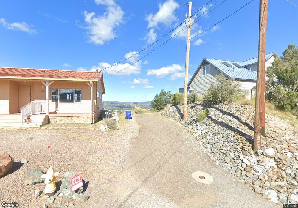
650 W Robinson Dr Prescott, AZ 86303
Estimated Value: $325,313 - $441,000
--
Bed
--
Bath
960
Sq Ft
$405/Sq Ft
Est. Value
About This Home
This home is located at 650 W Robinson Dr, Prescott, AZ 86303 and is currently estimated at $388,578, approximately $404 per square foot. 650 W Robinson Dr is a home located in Yavapai County with nearby schools including Taylor Hicks School, Granite Mountain Middle School, and Prescott Mile High Middle School.
Ownership History
Date
Name
Owned For
Owner Type
Purchase Details
Closed on
Jul 8, 2004
Sold by
Sawyer Ruth
Bought by
Johnson Randy M and Johnson Debra A
Current Estimated Value
Home Financials for this Owner
Home Financials are based on the most recent Mortgage that was taken out on this home.
Original Mortgage
$116,000
Outstanding Balance
$58,141
Interest Rate
6.27%
Mortgage Type
New Conventional
Estimated Equity
$330,437
Purchase Details
Closed on
Feb 23, 2004
Sold by
Robertson Thomas L
Bought by
Sawyer Ruth E
Purchase Details
Closed on
Aug 10, 1998
Sold by
Burlett George
Bought by
Robertson Thomas and Sawyer Ruth
Create a Home Valuation Report for This Property
The Home Valuation Report is an in-depth analysis detailing your home's value as well as a comparison with similar homes in the area
Home Values in the Area
Average Home Value in this Area
Purchase History
| Date | Buyer | Sale Price | Title Company |
|---|---|---|---|
| Johnson Randy M | $145,000 | Chicago Title Ins Co | |
| Sawyer Ruth E | -- | -- | |
| Robertson Thomas | -- | -- |
Source: Public Records
Mortgage History
| Date | Status | Borrower | Loan Amount |
|---|---|---|---|
| Open | Johnson Randy M | $116,000 |
Source: Public Records
Tax History Compared to Growth
Tax History
| Year | Tax Paid | Tax Assessment Tax Assessment Total Assessment is a certain percentage of the fair market value that is determined by local assessors to be the total taxable value of land and additions on the property. | Land | Improvement |
|---|---|---|---|---|
| 2026 | $1,232 | $23,843 | -- | -- |
| 2024 | $1,192 | $23,595 | -- | -- |
| 2023 | $1,192 | $20,001 | $6,791 | $13,210 |
| 2022 | $1,151 | $17,038 | $6,327 | $10,711 |
| 2021 | $1,165 | $16,466 | $5,520 | $10,946 |
| 2020 | $1,150 | $0 | $0 | $0 |
| 2019 | $1,125 | $0 | $0 | $0 |
| 2018 | $1,081 | $0 | $0 | $0 |
| 2017 | $1,027 | $0 | $0 | $0 |
| 2016 | $892 | $0 | $0 | $0 |
| 2015 | -- | $0 | $0 | $0 |
| 2014 | -- | $0 | $0 | $0 |
Source: Public Records
Map
Nearby Homes
- 000 S Canyon Dr
- 1284 McDonald Dr
- 1203 McDonald Dr
- 1228 McDonald Dr Unit 1/2
- 1228 McDonald Dr Unit 52
- 1228 McDonald Dr
- 432 Newport Dr Unit 86
- 395 Newport Dr
- 631 S Canyon Dr E
- 386 Newport Dr
- 1300 Newport Ridge Dr Unit 116
- 1300 Newport Ridge Dr
- 450 Broadview Dr
- 630 S Hill Dr
- 1238 Jordin Dr Unit 60
- 500 Broadview Dr
- 1232 Jordin Dr
- 300 Newport Dr
- 277 Jacob Ln
- 1448 E Spirit Lodge Trail
- 650 W Robinson Dr
- 648 W Robinson Dr
- 653 W Robinson Dr
- 640 W Robinson Dr
- 537 S Skyview Dr
- 651 W Robinson Dr
- 645 Riviera Pass
- 649 W Robinson Dr
- 657 E Robinson Dr
- 679 E Robinson Dr
- 641 W Robinson Dr
- 531 S Skyview Dr
- 659 E Robinson Dr
- 551 S Skyview Dr
- 639 W Robinson Dr
- 685 E Robinson Dr
- 656 E Robinson Dr
- 656 E Robninson Dr
- 661 E Robinson Dr
- 519 S Skyview Dr