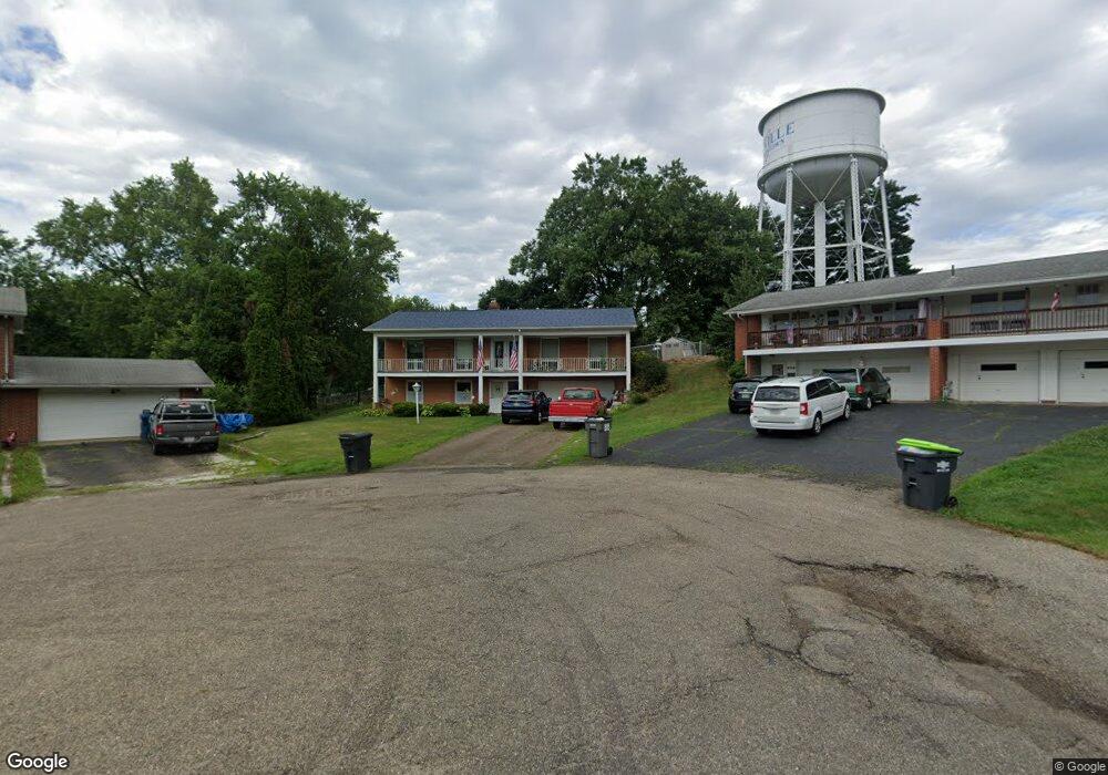
650 Weeburn Way Louisville, OH 44641
Estimated Value: $159,000 - $219,000
4
Beds
2
Baths
1,300
Sq Ft
$148/Sq Ft
Est. Value
About This Home
This home is located at 650 Weeburn Way, Louisville, OH 44641 and is currently estimated at $192,271, approximately $147 per square foot. 650 Weeburn Way is a home located in Stark County with nearby schools including Louisville High School and St. Thomas Aquinas High School & Middle School.
Ownership History
Date
Name
Owned For
Owner Type
Purchase Details
Closed on
May 1, 2020
Sold by
Pachinger Shari L
Bought by
Pachinger Shari L and Pachinger Donald J
Current Estimated Value
Home Financials for this Owner
Home Financials are based on the most recent Mortgage that was taken out on this home.
Original Mortgage
$76,000
Outstanding Balance
$67,598
Interest Rate
3.5%
Mortgage Type
New Conventional
Estimated Equity
$124,674
Purchase Details
Closed on
Feb 23, 2018
Sold by
Clapper Shirley Joan and Clapper Frank
Bought by
Pachinger Shari L
Purchase Details
Closed on
Jan 20, 2006
Sold by
Clapper Paul M and Clapper Shirley J
Bought by
Clapper Paul Merlin and Paul Merlin Clapper Revocable Trust
Create a Home Valuation Report for This Property
The Home Valuation Report is an in-depth analysis detailing your home's value as well as a comparison with similar homes in the area
Home Values in the Area
Average Home Value in this Area
Purchase History
| Date | Buyer | Sale Price | Title Company |
|---|---|---|---|
| Pachinger Shari L | -- | None Available | |
| Pachinger Shari L | -- | None Available | |
| Clapper Shirley Joan | -- | None Available | |
| Clapper Paul Merlin | -- | None Available |
Source: Public Records
Mortgage History
| Date | Status | Borrower | Loan Amount |
|---|---|---|---|
| Open | Pachinger Shari L | $76,000 |
Source: Public Records
Tax History Compared to Growth
Tax History
| Year | Tax Paid | Tax Assessment Tax Assessment Total Assessment is a certain percentage of the fair market value that is determined by local assessors to be the total taxable value of land and additions on the property. | Land | Improvement |
|---|---|---|---|---|
| 2025 | -- | $44,590 | $18,830 | $25,760 |
| 2024 | -- | $44,590 | $18,830 | $25,760 |
| 2023 | $1,427 | $42,360 | $14,250 | $28,110 |
| 2022 | $1,450 | $42,360 | $14,250 | $28,110 |
| 2021 | $1,454 | $42,360 | $14,250 | $28,110 |
| 2020 | $1,780 | $53,490 | $13,620 | $39,870 |
| 2019 | $2,197 | $54,430 | $11,970 | $42,460 |
| 2018 | $1,818 | $54,430 | $11,970 | $42,460 |
| 2017 | $1,563 | $46,620 | $9,590 | $37,030 |
| 2016 | $1,595 | $46,620 | $9,590 | $37,030 |
| 2015 | $1,599 | $46,620 | $9,590 | $37,030 |
| 2014 | $1,573 | $43,370 | $8,930 | $34,440 |
| 2013 | $790 | $43,370 | $8,930 | $34,440 |
Source: Public Records
Map
Nearby Homes
- 0 Michigan Blvd
- 2015 E Main St
- 1170 Winding Ridge Ave
- 308 Superior St
- 910 Crosswyck Cir
- 1715 High St
- 1812 E Broad St
- 325 Lincoln Ave
- 641 S Nickelplate St
- 520 S Silver St
- 728 E Broad St
- 316 E Reno Dr
- 428 Honeycrisp Dr NE
- 3047 Mcintosh Dr NE
- 432 Honeycrisp Dr NE
- 2962 Mcintosh Dr NE
- 2963 Mcintosh Dr NE
- 430 Honeycrisp Dr NE
- 2957 Mcintosh Dr NE
- 204 E Broad St
- 651 Weeburn Way
- 701 N Marion Ave
- 644 Weeburn Way
- 645 Weeburn Way
- 640 Weeburn Way
- 600 N Marion Ave
- 319 N Marion Ave
- 630 Weeburn Way
- 1519 Michigan Blvd
- 641 Weeburn Way
- 1525 Michigan Blvd
- 901 N Marion Ave
- 1525 1523 Michigan Blvd
- 637 Weeburn Way
- 616 Weeburn Way
- 1603 Airpark Dr
- 500 N Marion Ave
- 305 N Marion Ave
- 606 Weeburn Way
- 402 N Marion Ave