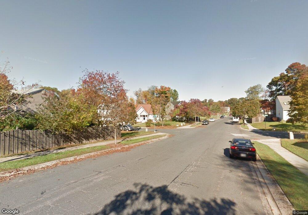
650 Wheat Mill Ct W Millersville, MD 21108
Estimated Value: $364,207 - $417,000
--
Bed
1
Bath
1,364
Sq Ft
$286/Sq Ft
Est. Value
About This Home
This home is located at 650 Wheat Mill Ct W, Millersville, MD 21108 and is currently estimated at $389,802, approximately $285 per square foot. 650 Wheat Mill Ct W is a home located in Anne Arundel County with nearby schools including Rippling Woods Elementary School, Old Mill Middle School North, and Old Mill High School.
Ownership History
Date
Name
Owned For
Owner Type
Purchase Details
Closed on
Nov 2, 2018
Sold by
Sergeant Tracy Q and Sergeant Rona
Bought by
Sergeant Tracy Quinn and Sergeant Rona J
Current Estimated Value
Purchase Details
Closed on
Dec 23, 2002
Sold by
Tracy O
Bought by
Tracy Q
Purchase Details
Closed on
Sep 25, 1996
Sold by
Bailey Richard S
Bought by
Tracy O
Purchase Details
Closed on
Dec 31, 1986
Sold by
Millrace Inc
Bought by
Bailey Richard S
Home Financials for this Owner
Home Financials are based on the most recent Mortgage that was taken out on this home.
Original Mortgage
$90,790
Interest Rate
9.29%
Create a Home Valuation Report for This Property
The Home Valuation Report is an in-depth analysis detailing your home's value as well as a comparison with similar homes in the area
Home Values in the Area
Average Home Value in this Area
Purchase History
| Date | Buyer | Sale Price | Title Company |
|---|---|---|---|
| Sergeant Tracy Quinn | -- | None Available | |
| Tracy Q | -- | -- | |
| Tracy O | $141,000 | -- | |
| Bailey Richard S | $89,900 | -- |
Source: Public Records
Mortgage History
| Date | Status | Borrower | Loan Amount |
|---|---|---|---|
| Previous Owner | Bailey Richard S | $90,790 | |
| Closed | Tracy O | -- |
Source: Public Records
Tax History Compared to Growth
Tax History
| Year | Tax Paid | Tax Assessment Tax Assessment Total Assessment is a certain percentage of the fair market value that is determined by local assessors to be the total taxable value of land and additions on the property. | Land | Improvement |
|---|---|---|---|---|
| 2025 | $3,896 | $331,700 | -- | -- |
| 2024 | $3,896 | $315,300 | $168,800 | $146,500 |
| 2023 | $3,782 | $308,067 | $0 | $0 |
| 2022 | $3,520 | $300,833 | $0 | $0 |
| 2021 | $5,162 | $293,600 | $153,800 | $139,800 |
| 2020 | $2,494 | $285,533 | $0 | $0 |
| 2019 | $2,451 | $277,467 | $0 | $0 |
| 2018 | $2,732 | $269,400 | $118,000 | $151,400 |
| 2017 | $2,308 | $259,833 | $0 | $0 |
| 2016 | -- | $250,267 | $0 | $0 |
| 2015 | -- | $240,700 | $0 | $0 |
| 2014 | -- | $240,700 | $0 | $0 |
Source: Public Records
Map
Nearby Homes
- 701 Kenora Ct
- 2 Arrowleaf Dr
- 630 Cross Chase Dr
- 565 Belmawr Place
- 584 Brightview Dr
- 8421 Norwood Dr
- 2664 Carver Rd
- 529 Chalet Dr W
- 15 Tremont Dr
- 525 Old Mill Rd
- 8011 Horicon Point Dr
- 8218 Sherbrooke Ct
- 601 Brightwood Rd
- 931 Oakdale Cir
- 518 Kenora Dr
- 8253 Rupert Rd S
- 8218 Daniels Purchase Way
- 8251 Rupert Rd S
- Easton Plan at The Willows
- 625 Winding Willow Way
- 652 Wheat Mill Ct W
- 654 Wheat Mill Ct W
- 614 Wheat Mill Ct E
- 653 Stone Wheel Ct W
- 655 Stone Wheel Ct W
- 651 Stone Wheel Ct W
- 659 Stone Wheel Ct W
- 661 Stone Wheel Ct W
- 656 Wheat Mill Ct W
- 663 Stone Wheel Ct W
- 612 Wheat Mill Ct E
- 623 Stone Wheel Ct E
- 665 Stone Wheel Ct W
- 621 Stone Wheel Ct E
- 651 Wheat Mill Ct W
- 667 Stone Wheel Ct W
- 658 Wheat Mill Ct W
- 619 Stone Wheel Ct E
- 610 Wheat Mill Ct E
- 653 Wheat Mill Ct W