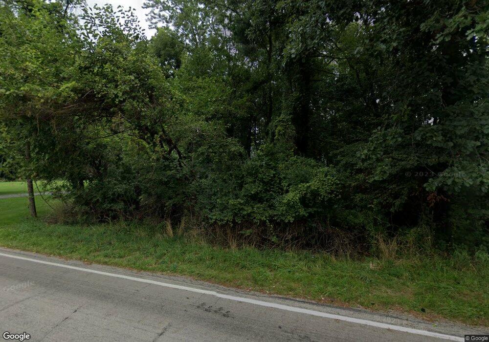
Estimated Value: $675,000 - $848,000
3
Beds
2
Baths
2,800
Sq Ft
$268/Sq Ft
Est. Value
About This Home
This home is located at 6500 E State Road 10, Knox, IN 46534 and is currently estimated at $749,846, approximately $267 per square foot. 6500 E State Road 10 is a home located in Starke County with nearby schools including Culver Elementary School and Culver Community Middle/High School.
Ownership History
Date
Name
Owned For
Owner Type
Purchase Details
Closed on
Mar 30, 2018
Sold by
Gembara Michael J and Gembara Carol A
Bought by
Gembara Carol A and The Carol A Gembara Trust
Current Estimated Value
Purchase Details
Closed on
Feb 3, 2009
Sold by
Cowen Oscar O
Bought by
Gembara Carol A
Purchase Details
Closed on
Oct 30, 2008
Sold by
Cunha Willaim A and Cunha Gwen S
Bought by
Gembara Michael J and Gembara Carol A
Purchase Details
Closed on
May 11, 2006
Sold by
Materna Michael T
Bought by
Cunha William A and Cunha Gwen S
Home Financials for this Owner
Home Financials are based on the most recent Mortgage that was taken out on this home.
Original Mortgage
$65,000
Interest Rate
6.39%
Mortgage Type
Purchase Money Mortgage
Create a Home Valuation Report for This Property
The Home Valuation Report is an in-depth analysis detailing your home's value as well as a comparison with similar homes in the area
Home Values in the Area
Average Home Value in this Area
Purchase History
| Date | Buyer | Sale Price | Title Company |
|---|---|---|---|
| Gembara Carol A | -- | None Available | |
| Gembara Carol A | $365,501 | Starke County Sheriff | |
| Gembara Michael J | $365,500 | None Available | |
| Cunha William A | $650,000 | Starke County Abstract | |
| Cunha William A | -- | None Available |
Source: Public Records
Mortgage History
| Date | Status | Borrower | Loan Amount |
|---|---|---|---|
| Previous Owner | Cunha William A | $65,000 |
Source: Public Records
Tax History Compared to Growth
Tax History
| Year | Tax Paid | Tax Assessment Tax Assessment Total Assessment is a certain percentage of the fair market value that is determined by local assessors to be the total taxable value of land and additions on the property. | Land | Improvement |
|---|---|---|---|---|
| 2024 | $7,516 | $636,400 | $329,500 | $306,900 |
| 2023 | $7,142 | $594,600 | $281,600 | $313,000 |
| 2022 | $6,815 | $536,600 | $269,000 | $267,600 |
| 2021 | $6,340 | $474,200 | $226,800 | $247,400 |
| 2020 | $6,166 | $455,200 | $226,800 | $228,400 |
| 2019 | $5,861 | $422,100 | $222,300 | $199,800 |
| 2018 | $5,666 | $407,300 | $210,600 | $196,700 |
| 2017 | $4,759 | $403,100 | $202,500 | $200,600 |
| 2016 | $4,652 | $402,400 | $202,500 | $199,900 |
| 2014 | $4,348 | $412,100 | $202,900 | $209,200 |
| 2013 | $4,095 | $418,800 | $202,900 | $215,900 |
Source: Public Records
Map
Nearby Homes
- 6620 E State Road 10
- Lot 7 N Shore Dr Unit 7
- Lot 6 N Shore Dr
- Lot 7 N Shore Dr
- 5100 S County Road 210
- 9.08 Acres S North Dr & East of Woodland Rd E
- 6270 E Donald Rd
- 5374 S County Road 210
- 3872 S Hillcrest Rd
- 3835 S Hillcrest Rd
- 3701 S 625 E
- 5345 E Summerholme Dr
- 5832 S 750 E
- - Fox Crossing
- TBD Fox Crossing
- 0 Fox Crossing Unit NRA822621
- 6978 Fox Crossing
- TBD F Wild Rose Dr
- TBD G Wild Rose Dr
- TBD D Wild Rose Dr
- 6460 E Ayres Dr
- 6470 E Ayres Dr
- TBD S Cranberry Ln
- 6480 E State Road 10
- 6480 E Ayres Dr
- 4932 S Cranberry Ln
- 6500 E Ayres Dr
- 2899 S County Road 210
- 2935 S County Road 210
- 2889 S County Road 210
- 4887 S Cranberry Ln
- 2869 S County Road 210
- 4984 S Cranberry Ln
- 4897 S Cranberry Ln
- 2957 S County Road 210
- 0 E State Road 10 Unit 6294743
- 0 E State Road 10 Unit 6294936
- 0 E State Road 10 Unit 220352
- 0 E State Road 10 Unit 227727
- 0 E State Road 10 Unit 6296528
