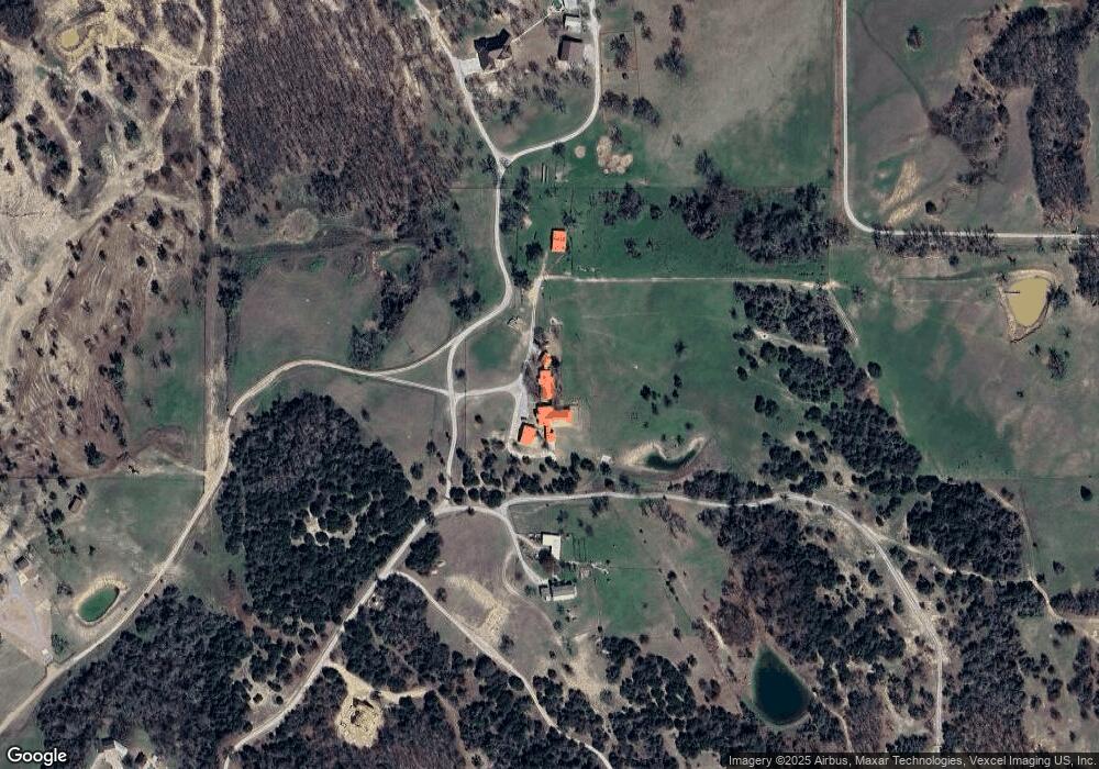
6500 Fm 920 Weatherford, TX 76088
Estimated Value: $864,000
--
Bed
--
Bath
5,651
Sq Ft
$153/Sq Ft
Est. Value
About This Home
This home is located at 6500 Fm 920, Weatherford, TX 76088 and is currently estimated at $864,000, approximately $152 per square foot. 6500 Fm 920 is a home with nearby schools including Peaster Elementary School, Peaster Middle School, and Peaster High School.
Ownership History
Date
Name
Owned For
Owner Type
Purchase Details
Closed on
Apr 29, 2014
Sold by
Baker Daniel G Daniel G Tr Of Julia Baker Tr
Bought by
Baker D Glenn Llc
Current Estimated Value
Purchase Details
Closed on
Jun 18, 2004
Sold by
Baker Daniel Glenn and Baker Julia
Bought by
Baker D Glenn Llc
Purchase Details
Closed on
Nov 26, 1997
Sold by
Lane Michael A and Januarya Lynn
Bought by
Baker D Glenn Llc
Purchase Details
Closed on
May 16, 1996
Bought by
Baker D Glenn Llc
Purchase Details
Closed on
Jan 1, 1901
Sold by
Reynolds Robert N
Bought by
Baker D Glenn Llc
Create a Home Valuation Report for This Property
The Home Valuation Report is an in-depth analysis detailing your home's value as well as a comparison with similar homes in the area
Home Values in the Area
Average Home Value in this Area
Purchase History
| Date | Buyer | Sale Price | Title Company |
|---|---|---|---|
| Baker D Glenn Llc | -- | -- | |
| Baker D Glenn Llc | -- | -- | |
| Baker D Glenn Llc | -- | -- | |
| Baker D Glenn Llc | -- | -- | |
| Baker D Glenn Llc | -- | -- |
Source: Public Records
Tax History Compared to Growth
Tax History
| Year | Tax Paid | Tax Assessment Tax Assessment Total Assessment is a certain percentage of the fair market value that is determined by local assessors to be the total taxable value of land and additions on the property. | Land | Improvement |
|---|---|---|---|---|
| 2025 | $9,365 | $757,450 | $15,000 | $742,450 |
| 2024 | $9,365 | $540,940 | $12,480 | $528,460 |
| 2023 | $9,365 | $540,940 | $12,480 | $528,460 |
| 2022 | $10,088 | $505,800 | $10,710 | $495,090 |
| 2021 | $10,168 | $505,800 | $10,710 | $495,090 |
| 2020 | $10,314 | $502,900 | $7,800 | $495,100 |
| 2019 | $10,836 | $502,900 | $7,800 | $495,100 |
| 2018 | $9,407 | $435,290 | $5,500 | $429,790 |
| 2017 | $4,558 | $211,950 | $5,500 | $206,450 |
| 2016 | $4,239 | $197,110 | $4,500 | $192,610 |
| 2015 | $4,181 | $197,110 | $4,500 | $192,610 |
| 2014 | $4,086 | $190,490 | $4,500 | $185,990 |
Source: Public Records
Map
Nearby Homes
- TBD Bellenger
- 1027 Twin Creeks Dr
- 1005 Lilly Ln
- 1024 Twin Creeks Dr
- 2008 Carrie Ct
- 1043 Twin Creeks Dr
- 2035 Carrie Ct
- 2004 Carrie Ct
- 2016 Carrie Ct
- 2012 Carrie Ct
- 2000 Carrie Ct
- 1001 Lilly Ln
- 1016 Lilly Ln
- 1047 Twin Creeks Dr
- 2036 Carrie Ct
- 1033 Lilly Ln
- 3032 Perkins Ln
- 2084 Glenhollow Dr
- 2883 Harwell Lake Rd
- 3667 Oak Cir
