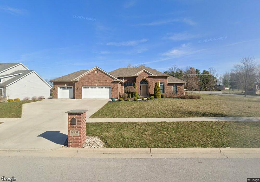
6500 Silver Lake Dr Findlay, OH 45840
Estimated Value: $521,000 - $604,000
4
Beds
2
Baths
2,321
Sq Ft
$247/Sq Ft
Est. Value
About This Home
This home is located at 6500 Silver Lake Dr, Findlay, OH 45840 and is currently estimated at $572,399, approximately $246 per square foot. 6500 Silver Lake Dr is a home with nearby schools including Liberty-Benton Elementary School, Liberty-Benton Middle School, and Liberty-Benton High School.
Ownership History
Date
Name
Owned For
Owner Type
Purchase Details
Closed on
Jun 27, 2013
Sold by
Brookview Homes Inc
Bought by
Wages Travis A and Wages Kelli E
Current Estimated Value
Home Financials for this Owner
Home Financials are based on the most recent Mortgage that was taken out on this home.
Original Mortgage
$275,600
Outstanding Balance
$200,600
Interest Rate
3.62%
Mortgage Type
Future Advance Clause Open End Mortgage
Estimated Equity
$371,799
Create a Home Valuation Report for This Property
The Home Valuation Report is an in-depth analysis detailing your home's value as well as a comparison with similar homes in the area
Home Values in the Area
Average Home Value in this Area
Purchase History
| Date | Buyer | Sale Price | Title Company |
|---|---|---|---|
| Wages Travis A | $34,633 | Flag City Title Agency |
Source: Public Records
Mortgage History
| Date | Status | Borrower | Loan Amount |
|---|---|---|---|
| Open | Wages Travis A | $275,600 |
Source: Public Records
Tax History Compared to Growth
Tax History
| Year | Tax Paid | Tax Assessment Tax Assessment Total Assessment is a certain percentage of the fair market value that is determined by local assessors to be the total taxable value of land and additions on the property. | Land | Improvement |
|---|---|---|---|---|
| 2024 | $6,177 | $166,170 | $35,470 | $130,700 |
| 2023 | $6,031 | $166,170 | $35,470 | $130,700 |
| 2022 | $5,972 | $166,170 | $35,470 | $130,700 |
| 2021 | $5,631 | $138,300 | $22,870 | $115,430 |
| 2020 | $5,679 | $138,300 | $22,870 | $115,430 |
| 2019 | $5,448 | $138,300 | $22,870 | $115,430 |
| 2018 | $4,291 | $120,250 | $19,880 | $100,370 |
| 2017 | $4,428 | $120,250 | $19,880 | $100,370 |
| 2016 | $4,287 | $120,250 | $19,880 | $100,370 |
| 2015 | $3,928 | $107,260 | $19,880 | $87,380 |
| 2014 | $3,963 | $107,260 | $19,880 | $87,380 |
| 2012 | $444 | $11,130 | $11,130 | $0 |
Source: Public Records
Map
Nearby Homes
- 6535 Silver Lake Dr
- 0 County Road 95 Unit 6097574
- 1405 Cypress Lake
- 3106 Saddlebrook
- 3018 Gleneagle Dr
- 0 County Road 140
- 933 Laurel Ln
- 1310 Muirfield Dr
- 925 W Melrose Ave
- 905 W Melrose Ave
- 0 Rock Candy Rd Or Bushwillow Dr Unit Lot 173
- 0 Bushwillow Dr Or Rock Candy Rd Unit Lot 157
- 0 Rock Candy Rd Unit Lot 159
- 0 Rock Candy Rd Unit Lot 170
- 0 Rock Candy Rd Unit Lot 172 206819
- 0 Rock Candy Rd Unit Lot 162
- 0 Rock Candy Rd Unit Lot 171
- 0 Rock Candy Rd Unit Lot 168
- 0 Bearcat Way Or Rock Candy Rd Unit Lot 167
- 0 County Road 223
- LOT 11 Township Road 95
- LOT 10 Township Road 95
- 0 Township Road 95
- 6502 Still Waters Dr
- 6505 Still Waters Dr
- 6540 Silver Lake Dr
- 10386 County Road 95
- 6560 Silver Lake Dr
- 6589 Silver Lake Dr
- 6522 Still Waters Dr
- 6541 Still Waters Dr
- 10454 Still Meadows Ct
- 10300 County Road 95
- 10446 County Road 95
- 6619 Silver Lake Dr
- 6681 Silver Lake Dr
- 1625 Firestone Dr
- 6600 Silver Lake Dr
- 10476 Still Meadows Ct
- 1701 Firestone Dr