6500 Us Highway 281 N Spring Branch, TX 78070
Far North San Antonio NeighborhoodEstimated Value: $2,115,207
--
Bed
1
Bath
15,841
Sq Ft
$134/Sq Ft
Est. Value
About This Home
This home is located at 6500 Us Highway 281 N, Spring Branch, TX 78070 and is currently estimated at $2,115,207, approximately $133 per square foot. 6500 Us Highway 281 N is a home located in Comal County with nearby schools including Bill Brown Elementary School, Smithson Valley Middle School, and Smithson Valley High School.
Ownership History
Date
Name
Owned For
Owner Type
Purchase Details
Closed on
Feb 21, 2013
Sold by
Cumming Jeffrey S and Mooris Laura Anne
Bought by
Farrv Enterprises Lp
Current Estimated Value
Home Financials for this Owner
Home Financials are based on the most recent Mortgage that was taken out on this home.
Original Mortgage
$799,000
Interest Rate
3.44%
Mortgage Type
Commercial
Create a Home Valuation Report for This Property
The Home Valuation Report is an in-depth analysis detailing your home's value as well as a comparison with similar homes in the area
Home Values in the Area
Average Home Value in this Area
Purchase History
| Date | Buyer | Sale Price | Title Company |
|---|---|---|---|
| Farrv Enterprises Lp | -- | None Available |
Source: Public Records
Mortgage History
| Date | Status | Borrower | Loan Amount |
|---|---|---|---|
| Closed | Farrv Enterprises Lp | $799,000 |
Source: Public Records
Tax History Compared to Growth
Tax History
| Year | Tax Paid | Tax Assessment Tax Assessment Total Assessment is a certain percentage of the fair market value that is determined by local assessors to be the total taxable value of land and additions on the property. | Land | Improvement |
|---|---|---|---|---|
| 2025 | $46,827 | $3,127,723 | $1,276,940 | $1,850,783 |
| 2024 | $46,827 | $3,000,000 | $1,772,109 | $1,227,891 |
| 2023 | $46,827 | $2,862,190 | $1,362,070 | $1,500,120 |
| 2022 | $37,151 | $2,093,930 | $592,950 | $1,500,980 |
| 2021 | $29,807 | $1,580,400 | $741,190 | $839,210 |
| 2020 | $24,040 | $1,297,430 | $566,640 | $730,790 |
| 2019 | $22,454 | $1,183,040 | $566,640 | $616,400 |
| 2018 | $22,595 | $1,193,580 | $566,640 | $626,940 |
| 2017 | $22,477 | $1,196,830 | $566,640 | $630,190 |
| 2016 | $22,636 | $1,205,330 | $566,640 | $638,690 |
| 2015 | $23,022 | $1,219,760 | $566,640 | $653,120 |
| 2014 | $23,022 | $1,225,850 | $566,640 | $659,210 |
Source: Public Records
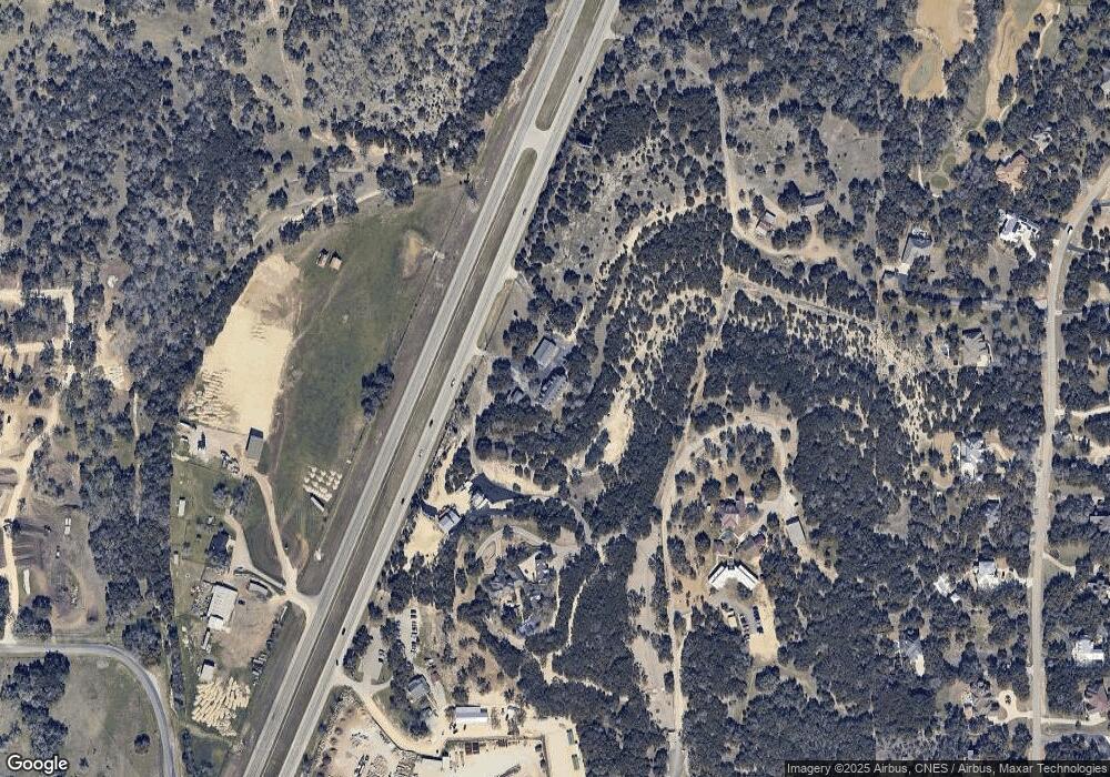
Map
Nearby Homes
- 1855 Texas Oaks
- 111 Saddle Ridge
- 138 Rodeo Dr
- 137 Rodeo Dr
- 656 River Way
- 190 Saddle Ridge
- 1700 Frontier
- 506 Carriage House
- 429 Fossil Hills Loop
- 913 Long Meadow
- 811 Long Meadow
- 1187 Long Meadow
- 194 Night Sky
- 519 Long Meadow
- 2317 Frontier
- 2437 River Way
- 339 Long Meadow
- 446 Long Meadow
- 154 Coral Cove
- 1461 Acacia Pkwy
- 6550 Hwy 281 N
- 6450 Us Highway 281 N
- 6450 Hwy 281 N
- 6450 U S 281
- 2098 Texas Oaks
- 6301 U S Highway 281 N
- 6690 Us Highway 281 N
- 6260 Us Highway 281 N
- 6301 Us Highway 281 N
- 1212 River Way
- 1212 River Way Unit LOT 26
- 1180 River Way
- 1286 River Way
- 1392 River Way
- 1342 River Way
- 300 Heimer Lange Rd
- 1414 River Way
- 1126 River Way
- 2001 Texas Oaks
- 1456 River Way