6501 Joseph Rd Sanger, TX 76266
Estimated Value: $555,000 - $1,167,312
11
Beds
8
Baths
8,422
Sq Ft
$102/Sq Ft
Est. Value
About This Home
This home is located at 6501 Joseph Rd, Sanger, TX 76266 and is currently estimated at $861,156, approximately $102 per square foot. 6501 Joseph Rd is a home with nearby schools including Chisholm Trail Elementary School, Clear Creek Intermediate School, and Sanger Sixth Grade Campus.
Ownership History
Date
Name
Owned For
Owner Type
Purchase Details
Closed on
Mar 2, 2006
Sold by
Estate Of William T Hager Sr
Bought by
Elias Jose Felipe
Current Estimated Value
Home Financials for this Owner
Home Financials are based on the most recent Mortgage that was taken out on this home.
Original Mortgage
$35,000
Outstanding Balance
$22,381
Interest Rate
8.5%
Mortgage Type
Purchase Money Mortgage
Estimated Equity
$838,775
Create a Home Valuation Report for This Property
The Home Valuation Report is an in-depth analysis detailing your home's value as well as a comparison with similar homes in the area
Home Values in the Area
Average Home Value in this Area
Purchase History
| Date | Buyer | Sale Price | Title Company |
|---|---|---|---|
| Elias Jose Felipe | -- | Reunion Title |
Source: Public Records
Mortgage History
| Date | Status | Borrower | Loan Amount |
|---|---|---|---|
| Open | Elias Jose Felipe | $35,000 |
Source: Public Records
Tax History
| Year | Tax Paid | Tax Assessment Tax Assessment Total Assessment is a certain percentage of the fair market value that is determined by local assessors to be the total taxable value of land and additions on the property. | Land | Improvement |
|---|---|---|---|---|
| 2025 | $15,918 | $980,621 | $86,132 | $1,054,815 |
| 2024 | $17,070 | $1,257,705 | $0 | $0 |
| 2023 | $10,844 | $879,257 | $287,002 | $661,252 |
| 2022 | $6,410 | $386,439 | $130,425 | $256,014 |
| 2021 | $3,255 | $243,269 | $120,391 | $122,878 |
| 2020 | $3,397 | $216,211 | $120,391 | $120,248 |
| 2019 | $3,298 | $201,506 | $120,391 | $104,227 |
| 2018 | $2,864 | $173,699 | $97,823 | $76,332 |
| 2017 | $2,756 | $165,958 | $97,823 | $81,833 |
| 2016 | $2,393 | $130,601 | $62,704 | $76,331 |
| 2015 | $2,002 | $122,531 | $62,704 | $59,827 |
| 2013 | -- | $132,365 | $62,704 | $69,661 |
Source: Public Records
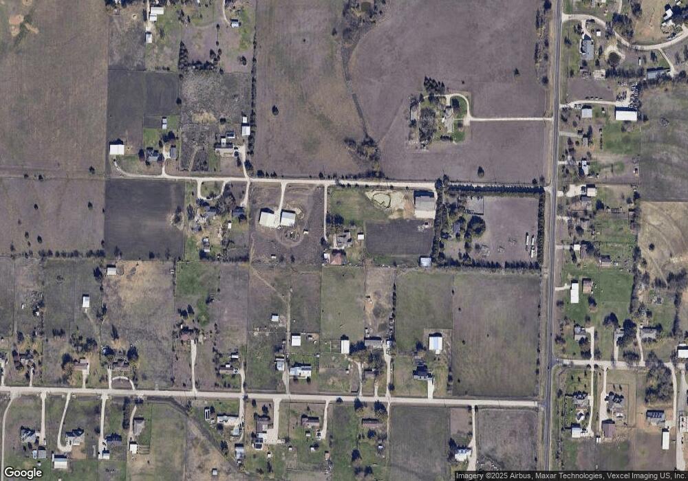
Map
Nearby Homes
- 7140 Davidson Rd
- 6400 Ridgerock Dr
- TBD Michael Rd
- 6044 Mango Dr
- 8875 Fm 2450
- 14158 Crest View Rd
- 6958 Michael Rd
- 6033 Mango Dr
- 6041 Amber Dr
- 6037 Amber Dr
- 6009 Amber Dr
- . Fm 2450 & Indian Trail
- 6210 Deer Run Rd
- 6221 Deer Run Rd
- 6713 Mustang Trail
- 6807 Sam Bass Rd
- 9061 Crow Wright Rd
- 8774 Kassandra Dr
- 8797 Kassandra Dr
- 7739 Borth Rd
Your Personal Tour Guide
Ask me questions while you tour the home.