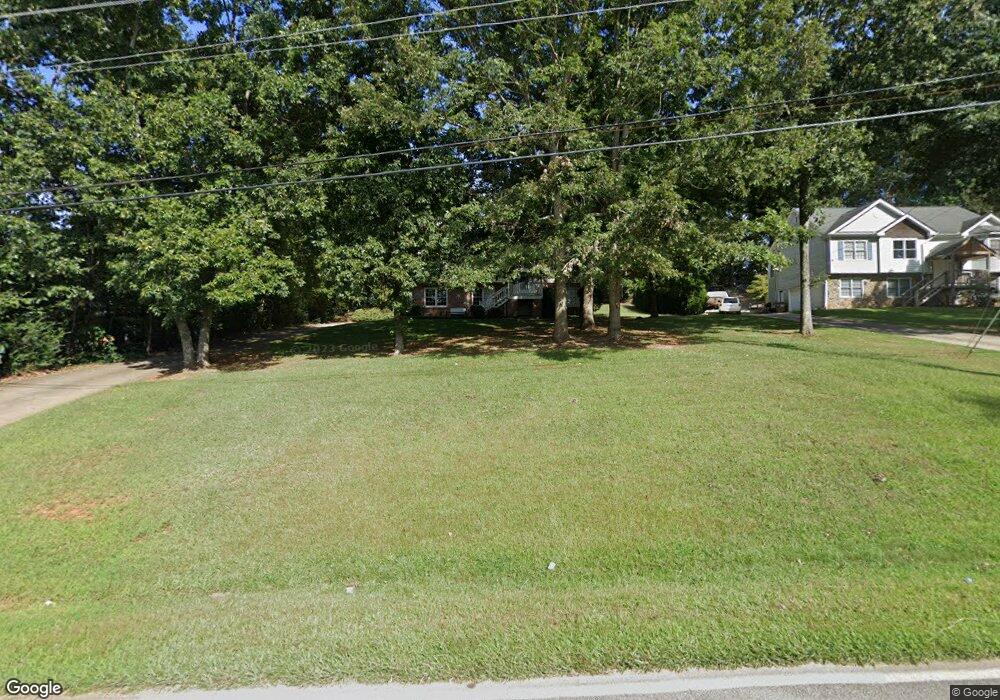
6501 New Bethany Rd Buford, GA 30518
Estimated Value: $380,000 - $486,000
4
Beds
3
Baths
1,530
Sq Ft
$289/Sq Ft
Est. Value
About This Home
This home is located at 6501 New Bethany Rd, Buford, GA 30518 and is currently estimated at $442,409, approximately $289 per square foot. 6501 New Bethany Rd is a home located in Hall County with nearby schools including Friendship Elementary School, C.W. Davis Middle School, and Flowery Branch High School.
Ownership History
Date
Name
Owned For
Owner Type
Purchase Details
Closed on
Jul 22, 2010
Sold by
Vaverka Steven D and Vaverka Lauren
Bought by
Phillips Carolyn A
Current Estimated Value
Home Financials for this Owner
Home Financials are based on the most recent Mortgage that was taken out on this home.
Original Mortgage
$166,754
Outstanding Balance
$111,638
Interest Rate
4.87%
Mortgage Type
FHA
Estimated Equity
$330,771
Create a Home Valuation Report for This Property
The Home Valuation Report is an in-depth analysis detailing your home's value as well as a comparison with similar homes in the area
Home Values in the Area
Average Home Value in this Area
Purchase History
| Date | Buyer | Sale Price | Title Company |
|---|---|---|---|
| Phillips Carolyn A | $169,000 | -- |
Source: Public Records
Mortgage History
| Date | Status | Borrower | Loan Amount |
|---|---|---|---|
| Open | Phillips Carolyn A | $166,754 |
Source: Public Records
Tax History Compared to Growth
Tax History
| Year | Tax Paid | Tax Assessment Tax Assessment Total Assessment is a certain percentage of the fair market value that is determined by local assessors to be the total taxable value of land and additions on the property. | Land | Improvement |
|---|---|---|---|---|
| 2024 | $3,666 | $145,560 | $18,960 | $126,600 |
| 2023 | $3,629 | $138,160 | $18,960 | $119,200 |
| 2022 | $2,830 | $107,120 | $13,280 | $93,840 |
| 2021 | $2,759 | $102,400 | $13,280 | $89,120 |
| 2020 | $2,522 | $90,640 | $9,040 | $81,600 |
| 2019 | $2,416 | $85,960 | $9,040 | $76,920 |
| 2018 | $1,892 | $64,564 | $9,040 | $55,524 |
| 2017 | $1,873 | $64,564 | $9,040 | $55,524 |
| 2016 | $1,829 | $64,564 | $9,040 | $55,524 |
| 2015 | $1,843 | $64,564 | $9,040 | $55,524 |
| 2014 | $1,843 | $64,564 | $9,040 | $55,524 |
Source: Public Records
Map
Nearby Homes
- 5862 Bay View Dr
- 5885 Bay View Dr
- 5832 Bay View Dr
- 5574 Lanier Islands Pkwy
- 6119 Bethany View Trail
- 6205 Bridgewood Dr
- 5989 Lanier Islands Pkwy
- 6225 Bridgewood Dr
- 3617 Shoreland Dr
- 6558 Lanier Islands Pkwy
- 5775 Lakeshore Dr
- 3441 Shoreland Dr
- 6132 Hutchins Dr
- 6120 Hutchins Dr
- 5839 Lakeshore Dr
- 3180 Lee Dr
- 6181 Shoreland Cir
- 6487 New Bethany Rd
- 2030 Lanier Harbor Point
- 1990 Lanier Harbor Point
- 1959 Lanier Harbor Point
- 6273 Lanier Harbor Landing
- 1989 Lanier Harbor Point
- 1910 Lanier Harbor Point
- 6052 Harbor Landing Dr
- 1950 Lanier Harbor Point
- 1970 Lanier Harbor Point
- 1900 Lanier Harbor Point
- 1980 Lanier Harbor Point
- 6343 Lanier Harbor Landing
- 1960 Lanier Harbor Point
- 1920 Lanier Harbor Point
- 1909 Lanier Harbor Point
- 1949 Lanier Harbor Point
- 1919 Lanier Harbor Point
- 6263 Lanier Harbor Landing
- 6012 Harbor Landing Dr