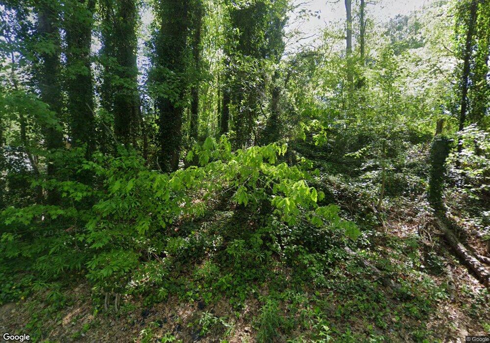
6501 Raymond Dr Union City, GA 30291
Estimated Value: $228,000 - $271,000
4
Beds
2
Baths
1,540
Sq Ft
$161/Sq Ft
Est. Value
About This Home
This home is located at 6501 Raymond Dr, Union City, GA 30291 and is currently estimated at $248,637, approximately $161 per square foot. 6501 Raymond Dr is a home located in Fulton County with nearby schools including Campbell Elementary School, Renaissance Middle School, and Creekside High School.
Ownership History
Date
Name
Owned For
Owner Type
Purchase Details
Closed on
Oct 31, 2018
Sold by
404 Property Solutions Llc
Bought by
Mcpheeters Brian P and Mcpheeters Tuong Anh Ho
Current Estimated Value
Purchase Details
Closed on
Jun 11, 2018
Sold by
Scales Alyssa
Bought by
404 Property Solutions Llc
Purchase Details
Closed on
Feb 5, 2009
Sold by
Mastr Trust 2007 & He1
Bought by
Brooks John M
Purchase Details
Closed on
Oct 7, 2008
Sold by
Felix-Anjou Frantzic
Bought by
Mastr Trust 2007 & He1
Purchase Details
Closed on
Dec 27, 2006
Sold by
Cribbs Wyetony
Bought by
Felix-Anjou Frantzie
Home Financials for this Owner
Home Financials are based on the most recent Mortgage that was taken out on this home.
Original Mortgage
$90,000
Interest Rate
9.65%
Mortgage Type
New Conventional
Create a Home Valuation Report for This Property
The Home Valuation Report is an in-depth analysis detailing your home's value as well as a comparison with similar homes in the area
Home Values in the Area
Average Home Value in this Area
Purchase History
| Date | Buyer | Sale Price | Title Company |
|---|---|---|---|
| Mcpheeters Brian P | $115,000 | -- | |
| 404 Property Solutions Llc | $78,400 | -- | |
| Scales Alyssa | $46,750 | -- | |
| Brooks John M | $17,500 | -- | |
| Mastr Trust 2007 & He1 | $75,106 | -- | |
| Felix-Anjou Frantzie | $100,000 | -- |
Source: Public Records
Mortgage History
| Date | Status | Borrower | Loan Amount |
|---|---|---|---|
| Previous Owner | Felix-Anjou Frantzie | $90,000 |
Source: Public Records
Tax History Compared to Growth
Tax History
| Year | Tax Paid | Tax Assessment Tax Assessment Total Assessment is a certain percentage of the fair market value that is determined by local assessors to be the total taxable value of land and additions on the property. | Land | Improvement |
|---|---|---|---|---|
| 2025 | $1,198 | $98,000 | $44,880 | $53,120 |
| 2023 | $1,440 | $51,000 | $18,880 | $32,120 |
| 2022 | $1,342 | $51,000 | $18,880 | $32,120 |
| 2021 | $1,193 | $43,960 | $13,480 | $30,480 |
| 2020 | $986 | $35,480 | $8,400 | $27,080 |
| 2019 | $1,472 | $34,840 | $8,240 | $26,600 |
| 2018 | $752 | $26,640 | $6,800 | $19,840 |
| 2017 | $601 | $20,600 | $5,840 | $14,760 |
| 2016 | $601 | $20,600 | $5,840 | $14,760 |
| 2015 | $927 | $20,600 | $5,840 | $14,760 |
| 2014 | $631 | $20,600 | $5,840 | $14,760 |
Source: Public Records
Map
Nearby Homes
- 6510 Raymond Dr
- 6496 Raymond Dr
- 6496 Raymond Dr Unit 6496 and 6500
- 6450 Raymond Dr
- 6421 Raymond Terrace
- 3589 Brookstone Way
- 3527 Brookstone Way
- 3599 Brookstone Way
- 6385 Lower Dixie Lake Rd
- 3518 Brookstone Way
- 5278 Park Ave
- 6697 Gresham St Unit 2
- 285 Switcher Ct
- 291 Switcher Ct
- 289 Switcher Ct
- 6690 Gresham St
- 203 Switcher Ct
- 0 Simpson Ave Unit 10470974
- 0 Simpson Ave Unit 7532980
- 0 Raymond Dr 6501-6505
- 6515 Raymond Dr
- 6481 Raymond Dr
- 6475 Raymond Dr
- 6527 Raymond Dr
- 0 Raymond Dr Unit 8721044
- 0 Raymond Dr Unit 8089371
- 0 Raymond Dr Unit 8059477
- 0 Raymond Dr Unit 7326243
- 0 Raymond Dr Unit 7287077
- 0 Raymond Dr Unit 3272676
- 0 Raymond Dr Unit 8602860
- 0 Raymond Dr Unit 7027482
- 0 Raymond Dr Unit 8537646
- 0 Raymond Dr Unit 8537636
- 0 Raymond Dr Unit 8395819
- 0 Raymond Dr Unit 8062779
- 0 Raymond Dr Unit 7597693
- 0 Raymond Dr Unit 3279933
- 0 Raymond Dr Unit 8795443
