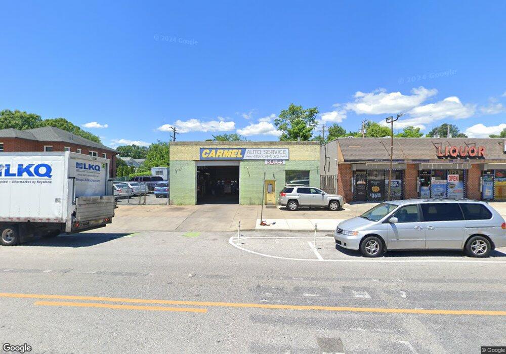
6502 Harford Rd Baltimore, MD 21214
Westfield NeighborhoodEstimated Value: $631,035
Studio
--
Bath
1,600
Sq Ft
$394/Sq Ft
Est. Value
About This Home
This home is located at 6502 Harford Rd, Baltimore, MD 21214 and is currently estimated at $631,035, approximately $394 per square foot. 6502 Harford Rd is a home located in Baltimore City with nearby schools including Hamilton Elementary Middle School, Booker T. Washington Middle School, and Paul Laurence Dunbar High School.
Ownership History
Date
Name
Owned For
Owner Type
Purchase Details
Closed on
Jan 5, 2006
Sold by
Michael J Foertsch Wf
Bought by
Shawn & Mahtab Llc
Current Estimated Value
Home Financials for this Owner
Home Financials are based on the most recent Mortgage that was taken out on this home.
Original Mortgage
$389,000
Outstanding Balance
$218,777
Interest Rate
6.28%
Mortgage Type
Commercial
Estimated Equity
$412,258
Create a Home Valuation Report for This Property
The Home Valuation Report is an in-depth analysis detailing your home's value as well as a comparison with similar homes in the area
Home Values in the Area
Average Home Value in this Area
Purchase History
| Date | Buyer | Sale Price | Title Company |
|---|---|---|---|
| Shawn & Mahtab Llc | $270,000 | -- |
Source: Public Records
Mortgage History
| Date | Status | Borrower | Loan Amount |
|---|---|---|---|
| Open | Shawn & Mahtab Llc | $389,000 |
Source: Public Records
Tax History
| Year | Tax Paid | Tax Assessment Tax Assessment Total Assessment is a certain percentage of the fair market value that is determined by local assessors to be the total taxable value of land and additions on the property. | Land | Improvement |
|---|---|---|---|---|
| 2025 | $5,390 | $233,333 | -- | -- |
| 2024 | $5,390 | $229,500 | $110,900 | $118,600 |
| 2023 | $5,384 | $228,133 | $0 | $0 |
| 2022 | $5,352 | $226,767 | $0 | $0 |
| 2021 | $5,319 | $225,400 | $110,900 | $114,500 |
| 2020 | $5,319 | $225,400 | $110,900 | $114,500 |
| 2019 | $5,294 | $225,400 | $110,900 | $114,500 |
| 2018 | $5,445 | $230,700 | $110,900 | $119,800 |
| 2017 | $5,413 | $229,367 | $0 | $0 |
| 2016 | $5,396 | $228,033 | $0 | $0 |
| 2015 | $5,396 | $226,700 | $0 | $0 |
| 2014 | $5,396 | $226,700 | $0 | $0 |
Source: Public Records
Map
Nearby Homes
- 2911 Pinewood Ave
- 2902 Westfield Ave
- 2905 Westfield Ave
- 2920 E Northern Pkwy
- 2809 E Northern Pkwy
- 3043 Pinewood Ave
- 2803 Fleetwood Ave
- 2808 E Northern Pkwy
- 2915 Kildaire Dr
- 2803 Berwick Ave
- 2716 Westfield Ave
- 3300 Westfield Ave
- 0 Royston Ave
- 2814 Chesley Ave
- 6927 Harford Rd
- 6113 Sefton Ave
- 2909 Inglewood Ave
- 2824 Inglewood Ave
- 6015 Sefton Ave
- 2800 Christopher Ave
- 6510 Harford Rd
- 6500 Harford Rd
- 6500 Harford Rd Unit A
- 2928 Pinewood Ave
- 2926 Pinewood Ave
- 2923 Fleetwood Ave
- 6418 Harford Rd
- 2921 Fleetwood Ave
- 6437 Harford Rd
- 2922 Pinewood Ave
- 6414 Harford Rd
- 2919 Fleetwood Ave
- 2917 Fleetwood Ave
- 6425 Harford Rd
- 2920 Pinewood Ave
- 6507 Harford Rd
- 6423 Harford Rd
- 6427 Harford Rd
- 6421 Harford Rd
- 2915 Fleetwood Ave
Your Personal Tour Guide
Ask me questions while you tour the home.