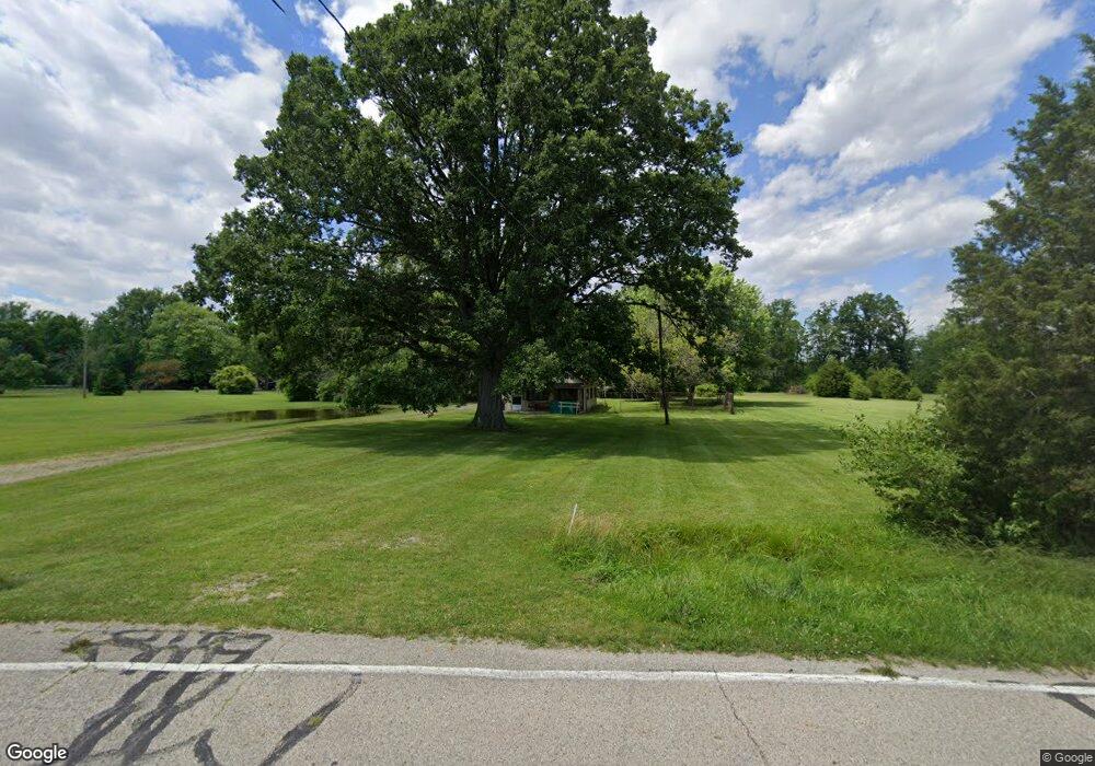
6505 W Baker Rd West Milton, OH 45383
Estimated Value: $188,000 - $266,000
3
Beds
1
Bath
1,503
Sq Ft
$147/Sq Ft
Est. Value
About This Home
This home is located at 6505 W Baker Rd, West Milton, OH 45383 and is currently estimated at $220,495, approximately $146 per square foot. 6505 W Baker Rd is a home located in Miami County with nearby schools including Milton-Union Elementary School, Milton-Union Middle School, and Milton-Union High School.
Ownership History
Date
Name
Owned For
Owner Type
Purchase Details
Closed on
Aug 22, 2024
Sold by
Gunston Donald W and Morphew Karen M
Bought by
Gunston Alex
Current Estimated Value
Home Financials for this Owner
Home Financials are based on the most recent Mortgage that was taken out on this home.
Original Mortgage
$130,000
Outstanding Balance
$128,535
Interest Rate
6.89%
Mortgage Type
New Conventional
Estimated Equity
$91,960
Purchase Details
Closed on
Mar 28, 2005
Sold by
Gunston Ruth E
Bought by
Gunston Donald W
Purchase Details
Closed on
Jan 1, 1990
Bought by
Gunston Donald W
Create a Home Valuation Report for This Property
The Home Valuation Report is an in-depth analysis detailing your home's value as well as a comparison with similar homes in the area
Home Values in the Area
Average Home Value in this Area
Purchase History
| Date | Buyer | Sale Price | Title Company |
|---|---|---|---|
| Gunston Alex | $162,500 | None Listed On Document | |
| Gunston Donald W | -- | -- | |
| Gunston Donald W | -- | -- |
Source: Public Records
Mortgage History
| Date | Status | Borrower | Loan Amount |
|---|---|---|---|
| Open | Gunston Alex | $130,000 |
Source: Public Records
Tax History Compared to Growth
Tax History
| Year | Tax Paid | Tax Assessment Tax Assessment Total Assessment is a certain percentage of the fair market value that is determined by local assessors to be the total taxable value of land and additions on the property. | Land | Improvement |
|---|---|---|---|---|
| 2024 | $1,561 | $54,460 | $22,330 | $32,130 |
| 2023 | $1,561 | $54,460 | $22,330 | $32,130 |
| 2022 | $1,616 | $54,460 | $22,330 | $32,130 |
| 2021 | $1,429 | $43,540 | $17,850 | $25,690 |
| 2020 | $1,432 | $43,540 | $17,850 | $25,690 |
| 2019 | $1,440 | $43,540 | $17,850 | $25,690 |
| 2018 | $1,507 | $42,810 | $16,730 | $26,080 |
| 2017 | $1,507 | $42,810 | $16,730 | $26,080 |
| 2016 | $1,438 | $42,810 | $16,730 | $26,080 |
| 2015 | $1,387 | $41,160 | $16,100 | $25,060 |
| 2014 | $1,387 | $41,160 | $16,100 | $25,060 |
| 2013 | $1,386 | $41,160 | $16,100 | $25,060 |
Source: Public Records
Map
Nearby Homes
- 0 W Frederick Garland Rd
- 3420 N Montgomery County Line Rd
- 114 Zinfandel Dr
- 106 Rebecca Cir
- 219 Riesling Dr
- 0 Riesling Dr Unit 927065
- 11 Beechnut Dr
- 100 Whitney Way
- 147 Marrett Farm Rd
- 110 Pepperwood Place
- 5265 W Frederick Garland Rd
- 5205 W Frederick Garland Rd
- 113 Marrett Farm Rd
- 0 Phillipsburg Union Rd Unit 944376
- 0 Phillipsburg Union Rd Unit 1027008
- 0 Phillipsburg Union Rd Unit 891267
- 3348 Phillipsburg Union Rd
- 16 Duerr Dr
- 664 S Main St
- 634 S Main St
- 6575 W Baker Rd
- 6411 W Baker Rd
- 6605 W Baker Rd
- 6775 W Baker Rd
- 2319 S Miami St
- 2361 S Miami St
- 2401 S Miami St
- 6518 W Frederick Garland Rd
- 6560 W Frederick Garland Rd
- 2145 S Miami St
- 6665 State Route 48
- 7395 S Mote Rd
- 1 W Fred Garland Rd W
- 0 Fred Garland Rd W Unit 605219
- 6477 N Montgomery County Line Rd
- 7393 W Fred Garland
- 330 W Frederick Garland Rd
- 2334 S Miami St
- 330 Frederick Garland Rd W
- 310 W Fred Garland Rd