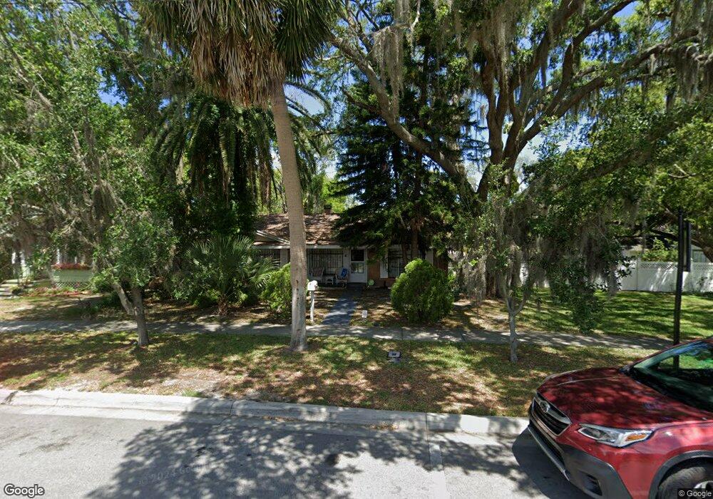
6509 Circle Blvd New Port Richey, FL 34652
Downtown New Port Richey NeighborhoodEstimated Value: $277,738 - $353,000
3
Beds
2
Baths
1,608
Sq Ft
$195/Sq Ft
Est. Value
About This Home
This home is located at 6509 Circle Blvd, New Port Richey, FL 34652 and is currently estimated at $313,185, approximately $194 per square foot. 6509 Circle Blvd is a home located in Pasco County with nearby schools including Richey Elementary School, Gulf Middle School, and Gulf High School.
Ownership History
Date
Name
Owned For
Owner Type
Purchase Details
Closed on
Mar 21, 1997
Sold by
Winifred T Lyons Tr
Bought by
Spangle John L and Spangle Sarah D
Current Estimated Value
Home Financials for this Owner
Home Financials are based on the most recent Mortgage that was taken out on this home.
Original Mortgage
$75,500
Outstanding Balance
$9,164
Interest Rate
7.75%
Mortgage Type
Purchase Money Mortgage
Estimated Equity
$304,021
Create a Home Valuation Report for This Property
The Home Valuation Report is an in-depth analysis detailing your home's value as well as a comparison with similar homes in the area
Home Values in the Area
Average Home Value in this Area
Purchase History
| Date | Buyer | Sale Price | Title Company |
|---|---|---|---|
| Spangle John L | $85,500 | -- |
Source: Public Records
Mortgage History
| Date | Status | Borrower | Loan Amount |
|---|---|---|---|
| Open | Spangle John L | $75,500 |
Source: Public Records
Tax History Compared to Growth
Tax History
| Year | Tax Paid | Tax Assessment Tax Assessment Total Assessment is a certain percentage of the fair market value that is determined by local assessors to be the total taxable value of land and additions on the property. | Land | Improvement |
|---|---|---|---|---|
| 2025 | $5,983 | $296,015 | $42,049 | $253,966 |
| 2024 | $5,983 | $299,668 | $40,189 | $259,479 |
| 2023 | $5,686 | $292,204 | $36,829 | $255,375 |
| 2022 | $4,550 | $190,428 | $31,189 | $159,239 |
| 2021 | $1,019 | $75,800 | $25,210 | $50,590 |
| 2020 | $1,002 | $74,760 | $16,210 | $58,550 |
| 2019 | $993 | $73,080 | $0 | $0 |
| 2018 | $987 | $71,719 | $0 | $0 |
| 2017 | $994 | $71,719 | $0 | $0 |
| 2016 | $905 | $68,799 | $0 | $0 |
| 2015 | $920 | $68,321 | $0 | $0 |
| 2014 | $918 | $70,721 | $12,730 | $57,991 |
Source: Public Records
Map
Nearby Homes
- 5538 Indiana Ave
- 5801 Virginia Ave
- 6444 Adams St
- 5922 Pennsylvania Ave
- 5745 Kentucky Ave
- 6345 Lambert Ln
- 6513 Carly Dr Unit 6
- 6518 Brandon Dr Unit 64
- 6105 & 6107 Adams St
- 0 Main St Unit MFRTB8414402
- 5436 Palmetto Rd
- 6170 Nebraska Ave
- 5700 Olive Dr
- 5433 Palmetto Rd
- 10840 State Road 52
- 6046 River Rd
- 6816 Forest Ave
- 6110 Missouri Ave
- 5406 Dartmouth Rd
- 6201 Main St
- 6505 Circle Blvd
- 5650 Indiana Ave
- 6515 Circle Blvd
- 5709 Indiana Ave
- 5711 Indiana Ave
- 5632 Indiana Ave
- 6529 Washington St
- 6501 Circle Blvd
- 6522 Washington St
- 5629 Sims Ln
- 5649 Indiana Ave
- 5643 Indiana Ave
- 6528 Washington St
- 5701 Indiana Ave
- 5618 Indiana Ave
- 5639 Indiana Ave
- 5703 Indiana Ave
- 5623 Sims Ln
- 6525 Circle Blvd
- 5629 Indiana Ave