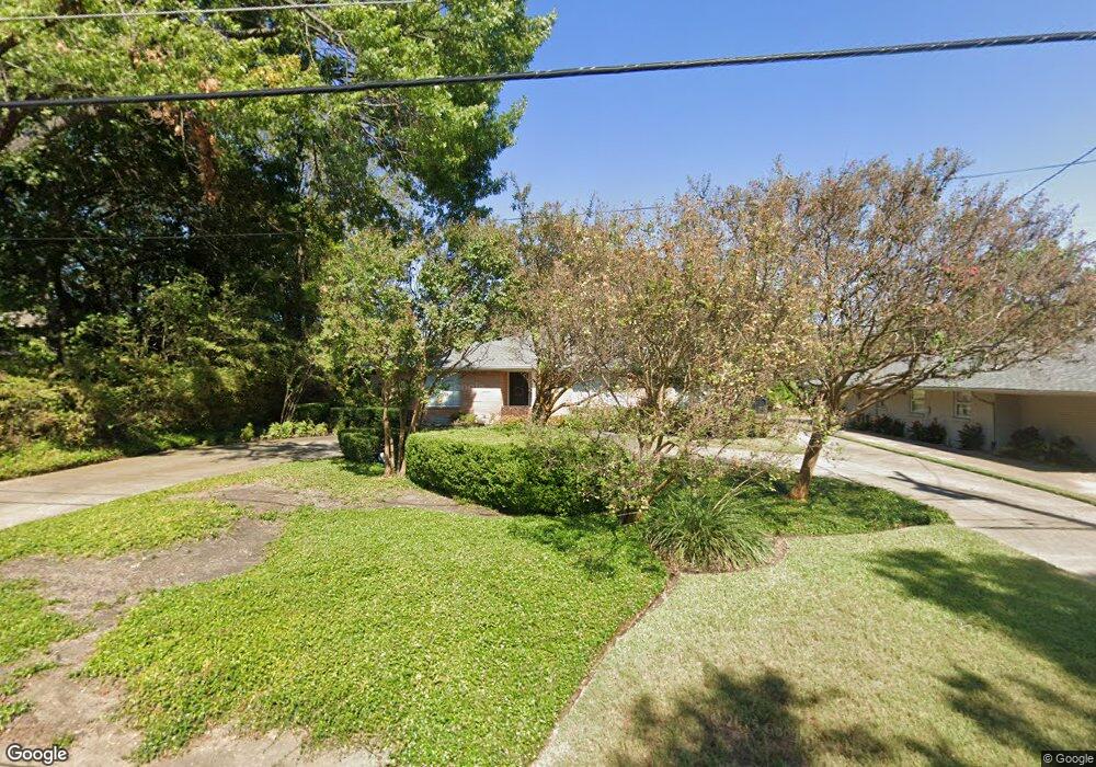
6509 Lange Cir Dallas, TX 75214
Northeast Dallas NeighborhoodEstimated Value: $1,002,000 - $1,048,657
3
Beds
2
Baths
2,312
Sq Ft
$447/Sq Ft
Est. Value
About This Home
This home is located at 6509 Lange Cir, Dallas, TX 75214 and is currently estimated at $1,033,914, approximately $447 per square foot. 6509 Lange Cir is a home located in Dallas County with nearby schools including Lakewood Elementary School, J L Long Middle School, and Woodrow Wilson High School.
Ownership History
Date
Name
Owned For
Owner Type
Purchase Details
Closed on
Feb 11, 2011
Sold by
Dean Joe A and Dean Wanda Gayle
Bought by
Dean Joe A and Dean Wanda Gayle
Current Estimated Value
Purchase Details
Closed on
Jul 1, 1998
Sold by
Mason Clarice Ann Jaynes and Mayer Mary Louise Jaynes
Bought by
Dean Joe A and Dean Wanda Gayle
Home Financials for this Owner
Home Financials are based on the most recent Mortgage that was taken out on this home.
Original Mortgage
$165,600
Interest Rate
7.13%
Create a Home Valuation Report for This Property
The Home Valuation Report is an in-depth analysis detailing your home's value as well as a comparison with similar homes in the area
Home Values in the Area
Average Home Value in this Area
Purchase History
| Date | Buyer | Sale Price | Title Company |
|---|---|---|---|
| Dean Joe A | -- | None Available | |
| Dean Joe A | -- | -- |
Source: Public Records
Mortgage History
| Date | Status | Borrower | Loan Amount |
|---|---|---|---|
| Closed | Dean Joe A | $165,600 |
Source: Public Records
Tax History Compared to Growth
Tax History
| Year | Tax Paid | Tax Assessment Tax Assessment Total Assessment is a certain percentage of the fair market value that is determined by local assessors to be the total taxable value of land and additions on the property. | Land | Improvement |
|---|---|---|---|---|
| 2025 | $6,939 | $1,300,000 | $751,530 | $548,470 |
| 2024 | $6,939 | $998,360 | $751,530 | $246,830 |
| 2023 | $6,939 | $900,000 | $751,530 | $148,470 |
| 2022 | $23,925 | $956,860 | $751,530 | $205,330 |
| 2021 | $18,346 | $695,450 | $501,020 | $194,430 |
| 2020 | $18,867 | $695,450 | $501,020 | $194,430 |
| 2019 | $19,787 | $695,450 | $501,020 | $194,430 |
| 2018 | $15,694 | $577,170 | $300,610 | $276,560 |
| 2017 | $14,726 | $541,550 | $300,610 | $240,940 |
| 2016 | $14,726 | $541,550 | $300,610 | $240,940 |
| 2015 | $7,098 | $418,660 | $148,380 | $270,280 |
| 2014 | $7,098 | $418,660 | $148,380 | $270,280 |
Source: Public Records
Map
Nearby Homes
- 6446 Lange Cir
- 6537 Patrick Dr
- 6459 Trammel Dr
- 6474 Sudbury Dr
- 6529 Trammel Dr
- 6415 Axton Ln
- 6269 Saratoga Cir
- 6527 Axton Cir
- 6529 Saint Moritz Ave
- 6314 Woodcrest Ln
- 4323 Ashford Dr
- 6711 Vada Dr
- 6720 Braeburn Dr
- 6305 Annapolis Ln
- 6231 Berwyn Ln
- 6746 Braeburn Dr
- 6802 Vada Dr
- 6431 Dunstan Ln
- 6612 E Mockingbird Ln
- 6644 Santa Anita Dr
- 6503 Lange Cir
- 6517 Lange Cir
- 6463 Lange Cir
- 6457 Lange Cir
- 6510 Lange Cir
- 6456 Patrick Dr
- 6458 Lange Cir
- 6451 Lange Cir
- 6450 Patrick Dr
- 6527 Lange Cir
- 6516 Lange Cir
- 6446 Patrick Dr
- 4569 Ashford Dr
- 4575 Ashford Dr
- 4563 Ashford Dr
- 6452 Lange Cir
- 6440 Patrick Dr
- 6447 Lange Cir
- 6506 Patrick Dr
- 4557 Ashford Dr