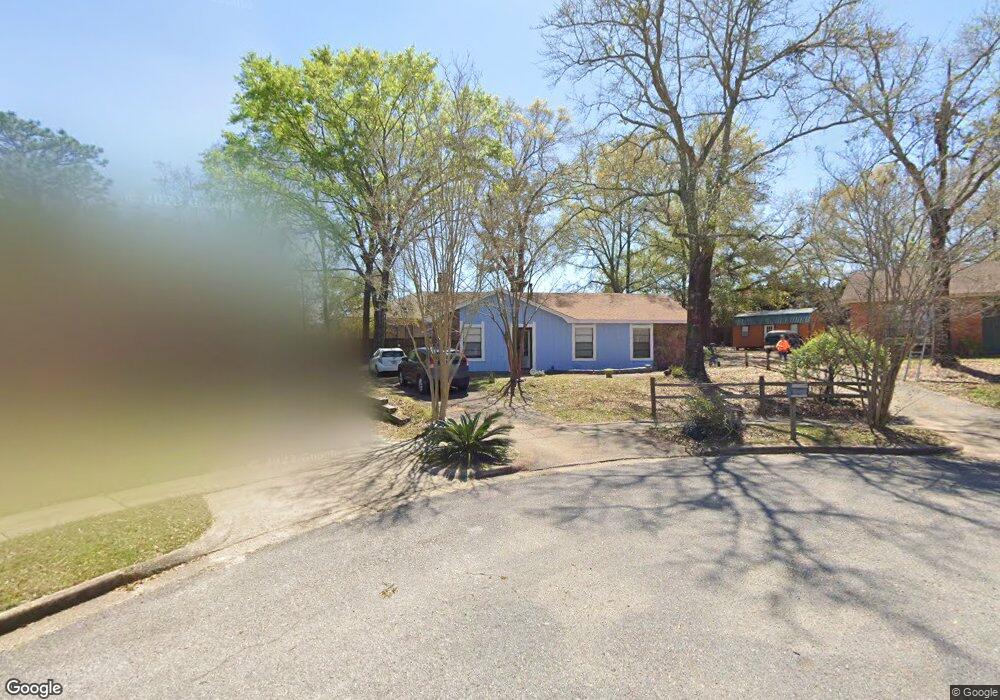
6509 Leslie Ct Mobile, AL 36695
Thornhill NeighborhoodEstimated Value: $156,000 - $194,000
3
Beds
2
Baths
1,164
Sq Ft
$151/Sq Ft
Est. Value
About This Home
This home is located at 6509 Leslie Ct, Mobile, AL 36695 and is currently estimated at $175,512, approximately $150 per square foot. 6509 Leslie Ct is a home located in Mobile County with nearby schools including ER Dickson Elementary School, Burns Middle School, and WP Davidson High School.
Ownership History
Date
Name
Owned For
Owner Type
Purchase Details
Closed on
Oct 19, 2007
Sold by
Hodge Michael W
Bought by
Fitzsimmons Thomas W and Alleman Toni Marie
Current Estimated Value
Home Financials for this Owner
Home Financials are based on the most recent Mortgage that was taken out on this home.
Original Mortgage
$114,900
Outstanding Balance
$70,911
Interest Rate
6.26%
Mortgage Type
Unknown
Estimated Equity
$104,601
Create a Home Valuation Report for This Property
The Home Valuation Report is an in-depth analysis detailing your home's value as well as a comparison with similar homes in the area
Home Values in the Area
Average Home Value in this Area
Purchase History
| Date | Buyer | Sale Price | Title Company |
|---|---|---|---|
| Fitzsimmons Thomas W | $114,900 | Slt |
Source: Public Records
Mortgage History
| Date | Status | Borrower | Loan Amount |
|---|---|---|---|
| Open | Fitzsimmons Thomas W | $114,900 |
Source: Public Records
Tax History
| Year | Tax Paid | Tax Assessment Tax Assessment Total Assessment is a certain percentage of the fair market value that is determined by local assessors to be the total taxable value of land and additions on the property. | Land | Improvement |
|---|---|---|---|---|
| 2025 | $732 | $13,360 | $3,000 | $10,360 |
| 2024 | $732 | $12,920 | $3,000 | $9,920 |
| 2023 | $707 | $11,300 | $2,700 | $8,600 |
| 2022 | $602 | $10,530 | $2,700 | $7,830 |
| 2021 | $497 | $8,870 | $2,000 | $6,870 |
| 2020 | $469 | $8,430 | $2,000 | $6,430 |
| 2019 | $465 | $8,370 | $2,150 | $6,220 |
| 2018 | $452 | $8,180 | $0 | $0 |
| 2017 | $450 | $8,140 | $0 | $0 |
| 2016 | $385 | $7,120 | $0 | $0 |
| 2013 | $505 | $8,420 | $0 | $0 |
Source: Public Records
Map
Nearby Homes
- 6500 Timbers Dr
- 1103 Hillcrest Crossing E
- 1118 Hillcrest Crossing E
- 956 Louise Ave
- 6601 Somerby Ln
- 1200 Hillcrest Crossing E
- 1200 Hillcrest Crossing W
- 806 Mcneil Ave
- 7229 Hawkins Manor
- 6320 Mcmurray Place N
- 6701 Somerby Ln
- 7228 Hawkins Manor
- 6608 Chimney Top Dr N
- 7224 Hawkins Manor
- 7312 Hawkins Manor N
- 805 Mcneil Ave
- 7369 Hawkins Manor N
- 6436 Hillcrest Crossing S
- 606 Willow Brook Run E
- 609 Burlington Ct
- 6505 Leslie Ct
- 6513 Leslie Ct
- 6501 Leslie Ct
- 828 Timbers Dr
- 6512 Leslie Ct
- 859 Country Ct
- 6504 Leslie Ct
- 6500 Leslie Ct
- 855 Country Ct
- 6508 Leslie Ct
- 816 Timbers Dr
- 804 Timbers Dr
- 829 Timbers Dr
- 812 Timbers Dr
- 825 Timbers Dr
- 825 Timbers Dr
- 6529 Timbers Dr
- 6525 Timbers Dr
- 821 Timbers Dr Unit 1
- 833 Timbers Dr
Your Personal Tour Guide
Ask me questions while you tour the home.