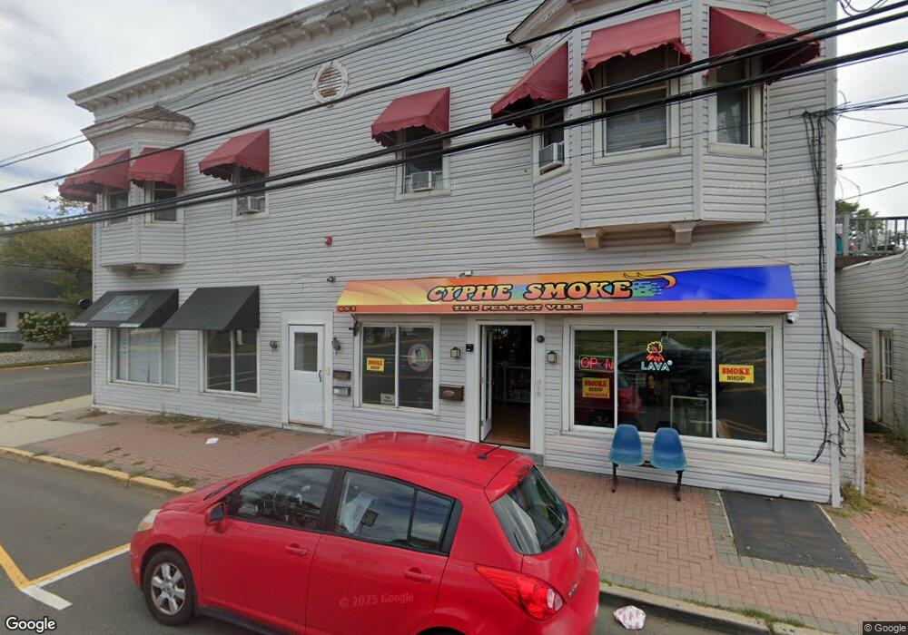
651 2nd Ave Unit 1 Long Branch, NJ 07740
Estimated Value: $1,450,364
--
Bed
--
Bath
3,456
Sq Ft
$420/Sq Ft
Est. Value
About This Home
This home is located at 651 2nd Ave Unit 1, Long Branch, NJ 07740 and is currently estimated at $1,450,364, approximately $419 per square foot. 651 2nd Ave Unit 1 is a home located in Monmouth County with nearby schools including Long Branch High School, Holy Trinity School, and Bet Yaakov of the Jersey Shore.
Ownership History
Date
Name
Owned For
Owner Type
Purchase Details
Closed on
Jul 25, 2018
Sold by
St Ross Realty Llc
Bought by
651 Yme Llc
Current Estimated Value
Purchase Details
Closed on
Jan 29, 2014
Sold by
Elzner Barbara Jean and Siciliano Barbara
Bought by
St Ross Realty Llc
Purchase Details
Closed on
Nov 3, 1994
Sold by
Tomasulo Edward
Bought by
Siciliano Anthony and Siciliano Barbara
Purchase Details
Closed on
Aug 31, 1993
Sold by
Tomasulo Louis
Bought by
Tomasulo Edward
Create a Home Valuation Report for This Property
The Home Valuation Report is an in-depth analysis detailing your home's value as well as a comparison with similar homes in the area
Home Values in the Area
Average Home Value in this Area
Purchase History
| Date | Buyer | Sale Price | Title Company |
|---|---|---|---|
| 651 Yme Llc | $775,000 | Clear Skies Title | |
| St Ross Realty Llc | $610,000 | Wfg National Title Ins Co | |
| Siciliano Anthony | $160,000 | -- | |
| Tomasulo Edward | $119,000 | -- |
Source: Public Records
Tax History Compared to Growth
Tax History
| Year | Tax Paid | Tax Assessment Tax Assessment Total Assessment is a certain percentage of the fair market value that is determined by local assessors to be the total taxable value of land and additions on the property. | Land | Improvement |
|---|---|---|---|---|
| 2025 | $11,898 | $838,500 | $380,600 | $457,900 |
| 2024 | $10,734 | $774,100 | $335,600 | $438,500 |
| 2023 | $10,734 | $691,200 | $326,600 | $364,600 |
| 2022 | $11,648 | $622,100 | $317,600 | $304,500 |
| 2021 | $11,648 | $582,200 | $272,600 | $309,600 |
| 2020 | $11,541 | $552,200 | $254,600 | $297,600 |
| 2019 | $11,187 | $532,200 | $254,600 | $277,600 |
| 2018 | $11,175 | $528,600 | $251,000 | $277,600 |
| 2017 | $10,839 | $525,900 | $248,300 | $277,600 |
| 2016 | $10,665 | $527,700 | $250,100 | $277,600 |
| 2015 | $8,750 | $392,900 | $222,300 | $170,600 |
| 2014 | $9,728 | $460,400 | $289,800 | $170,600 |
Source: Public Records
Map
Nearby Homes
- 665 2nd Ave Unit 309
- 665 2nd Ave Unit 202
- 665 2nd Ave Unit 310
- 665 2nd Ave Unit 303
- 665 2nd Ave Unit 201
- 675 Ocean Ave Unit 9F
- 675 Ocean Ave Unit 5J
- 675 Ocean Ave Unit 4I
- 65 Cedar Ave Unit C11
- 35 Sternberger Ave Unit P
- 717 Ocean Ave Unit 705
- 21 Riviera Dr
- 735 Greens Ave Unit 18A
- 107 W End Ave
- 3 Reid St
- 787 Ocean Ave Unit 608
- 787 Ocean Ave Unit 508
- 787 Ocean Ave Unit 1712
- 631 Hoey Ave
- 807 Ocean Ave
- 651 2nd Ave Unit 2a
- 651 2nd Ave Unit 2a
- 651 2nd Ave Unit 2b
- 651 2nd Ave Unit 1a
- 651 2nd Ave
- 27 New Ct
- 14 W End Ct
- 23 New Ct
- 8 W End Ct Unit 1
- 17 New Ct
- 7 1/2 W End Ct
- 7 W End Ct
- 7 W End Ct Unit 1/2
- 104 Brighton Ave Unit 1B
- 13 New Ct
- 108 Brighton Ave Unit 1
- 36 New Ct
- 36 New Ct Unit 2nd Floor
- 36 New Ct Unit Rear
- 6 W End Ct