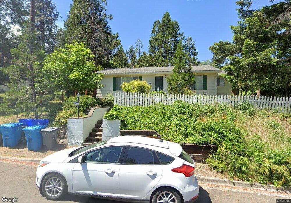
651 Beach St Ashland, OR 97520
3 Tiers of Ashland NeighborhoodEstimated Value: $508,516 - $624,000
4
Beds
3
Baths
1,250,497
Sq Ft
$0/Sq Ft
Est. Value
About This Home
This home is located at 651 Beach St, Ashland, OR 97520 and is currently estimated at $590,629, approximately $0 per square foot. 651 Beach St is a home located in Jackson County with nearby schools including Walker Elementary School, Ashland Middle School, and Ashland High School.
Ownership History
Date
Name
Owned For
Owner Type
Purchase Details
Closed on
Sep 26, 2003
Sold by
Shapero Richard P and Rashall Benita M
Bought by
Shapero Richard P and Rashall Benita M
Current Estimated Value
Home Financials for this Owner
Home Financials are based on the most recent Mortgage that was taken out on this home.
Original Mortgage
$157,500
Outstanding Balance
$73,297
Interest Rate
6.17%
Mortgage Type
Purchase Money Mortgage
Estimated Equity
$517,332
Purchase Details
Closed on
Aug 29, 2000
Sold by
Stamper Thomas L and Stamper Genevieve
Bought by
Carstensen Karl and Carstensen Jenifer A
Home Financials for this Owner
Home Financials are based on the most recent Mortgage that was taken out on this home.
Original Mortgage
$115,000
Interest Rate
8.2%
Create a Home Valuation Report for This Property
The Home Valuation Report is an in-depth analysis detailing your home's value as well as a comparison with similar homes in the area
Home Values in the Area
Average Home Value in this Area
Purchase History
| Date | Buyer | Sale Price | Title Company |
|---|---|---|---|
| Shapero Richard P | -- | First American Title | |
| Shapero Richard P | $397,500 | First American | |
| Carstensen Karl | $215,000 | Jackson County Title |
Source: Public Records
Mortgage History
| Date | Status | Borrower | Loan Amount |
|---|---|---|---|
| Open | Shapero Richard P | $157,500 | |
| Previous Owner | Carstensen Karl | $115,000 |
Source: Public Records
Tax History Compared to Growth
Tax History
| Year | Tax Paid | Tax Assessment Tax Assessment Total Assessment is a certain percentage of the fair market value that is determined by local assessors to be the total taxable value of land and additions on the property. | Land | Improvement |
|---|---|---|---|---|
| 2025 | $5,184 | $334,330 | $162,570 | $171,760 |
| 2024 | $5,184 | $324,600 | $157,840 | $166,760 |
| 2023 | $5,015 | $315,150 | $153,250 | $161,900 |
| 2022 | $4,854 | $315,150 | $153,250 | $161,900 |
| 2021 | $4,689 | $305,980 | $148,790 | $157,190 |
| 2020 | $4,557 | $297,070 | $144,460 | $152,610 |
| 2019 | $4,485 | $280,020 | $136,170 | $143,850 |
| 2018 | $4,237 | $271,870 | $132,210 | $139,660 |
| 2017 | $4,206 | $271,870 | $132,210 | $139,660 |
| 2016 | $4,097 | $256,280 | $124,640 | $131,640 |
| 2015 | $3,938 | $256,280 | $124,640 | $131,640 |
| 2014 | $3,811 | $241,580 | $117,500 | $124,080 |
Source: Public Records
Map
Nearby Homes
- 681 Liberty St
- 802 Beach St
- 759 S Mountain Ave
- 774 Lisa Ln
- 496 Beach St
- 769 Lisa Ln
- 0 Emma St Unit 220203688
- 704 Elkader St
- 770 Elkader St
- 461 Waterline Rd
- 932 Morton St
- 903 Pinecrest Terrace
- 720 Terrace St
- 950 Penny Dr
- 0 Oregon 66 Unit 220203024
- 0 Merrill Cir Unit 1008
- 269 Idaho St
- 455 Holly St
- 753 Siskiyou Blvd
- 1245 Iowa St Unit 7