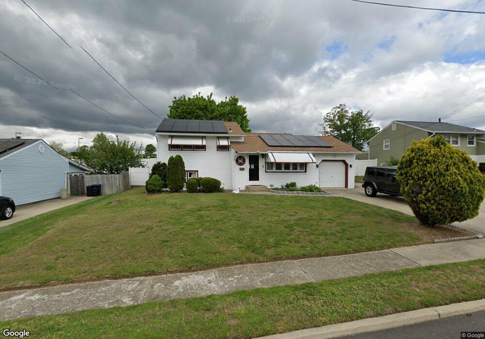
651 Cornell Ave Wenonah, NJ 08090
Deptford Township NeighborhoodEstimated Value: $285,000 - $345,000
3
Beds
1
Bath
1,562
Sq Ft
$201/Sq Ft
Est. Value
About This Home
This home is located at 651 Cornell Ave, Wenonah, NJ 08090 and is currently estimated at $313,872, approximately $200 per square foot. 651 Cornell Ave is a home located in Gloucester County with nearby schools including Deptford Township High School and St Margaret Regional School.
Ownership History
Date
Name
Owned For
Owner Type
Purchase Details
Closed on
May 23, 2011
Sold by
Sisti Angela and Saetta Mary Ann
Bought by
Fuentes Ruben and Fuentes Ramona
Current Estimated Value
Home Financials for this Owner
Home Financials are based on the most recent Mortgage that was taken out on this home.
Original Mortgage
$133,421
Outstanding Balance
$92,164
Interest Rate
4.75%
Mortgage Type
FHA
Estimated Equity
$221,708
Purchase Details
Closed on
Jun 9, 2003
Sold by
Spina Mary
Bought by
Sisti Angela and Saetta Mary Ann
Create a Home Valuation Report for This Property
The Home Valuation Report is an in-depth analysis detailing your home's value as well as a comparison with similar homes in the area
Home Values in the Area
Average Home Value in this Area
Purchase History
| Date | Buyer | Sale Price | Title Company |
|---|---|---|---|
| Fuentes Ruben | $140,000 | Surety Title Corporation | |
| Sisti Angela | -- | -- |
Source: Public Records
Mortgage History
| Date | Status | Borrower | Loan Amount |
|---|---|---|---|
| Open | Fuentes Ruben | $133,421 |
Source: Public Records
Tax History Compared to Growth
Tax History
| Year | Tax Paid | Tax Assessment Tax Assessment Total Assessment is a certain percentage of the fair market value that is determined by local assessors to be the total taxable value of land and additions on the property. | Land | Improvement |
|---|---|---|---|---|
| 2025 | $4,757 | $132,700 | $31,900 | $100,800 |
| 2024 | $4,605 | $132,700 | $31,900 | $100,800 |
| 2023 | $4,605 | $132,700 | $31,900 | $100,800 |
| 2022 | $4,572 | $132,700 | $31,900 | $100,800 |
| 2021 | $4,506 | $132,700 | $31,900 | $100,800 |
| 2020 | $4,455 | $132,700 | $31,900 | $100,800 |
| 2019 | $4,370 | $132,700 | $31,900 | $100,800 |
| 2018 | $4,272 | $132,700 | $31,900 | $100,800 |
| 2017 | $4,157 | $132,700 | $31,900 | $100,800 |
| 2016 | $4,073 | $132,700 | $31,900 | $100,800 |
| 2015 | $3,947 | $132,700 | $31,900 | $100,800 |
| 2014 | $3,844 | $132,700 | $31,900 | $100,800 |
Source: Public Records
Map
Nearby Homes
- 629 Vassar Rd
- 7 Manchester Ct
- 213 Barclay Ct
- 114 Buddy Powell Ln
- 807 Saint Regis Ct
- 100 Buddy Powell Ln
- 827 Saint Regis Ct
- 411 Durham Ct Unit 411
- 463 Durham Ct
- 916 Georgetown Rd
- 125 Ivy Ln
- 111 Cove Rd
- 136 Vanderbilt Ave
- 313 Ogden Station Rd
- 748 Dartmouth Dr
- 315 Ogden Station Rd
- 711 Howard Ave
- 751 Garrison Ct
- 505 University Blvd
- 417 Auburn St
- 649 Cornell Ave
- 653 Cornell Ave
- 655 Cornell Ave
- 647 Cornell Ave
- 654 Cornell Ave
- 656 Cornell Ave
- 652 Cornell Ave
- 658 Cornell Ave
- 657 Cornell Ave
- 645 Cornell Ave
- 650 Cornell Ave
- 651 Miami Rd
- 660 Cornell Ave
- 649 Miami Rd
- 653 Miami Rd
- 648 Cornell Ave
- 659 Cornell Ave
- 643 Cornell Ave
- 647 Miami Rd
- 655 Miami Rd