651 Groeschell Rd Cle Elum, WA 98922
Estimated Value: $1,131,611 - $1,241,000
3
Beds
3
Baths
2,782
Sq Ft
$428/Sq Ft
Est. Value
About This Home
This home is located at 651 Groeschell Rd, Cle Elum, WA 98922 and is currently estimated at $1,190,403, approximately $427 per square foot. 651 Groeschell Rd is a home located in Kittitas County with nearby schools including Cle Elum Roslyn Elementary School, Walter Strom Middle School, and Cle Elum Roslyn High School.
Ownership History
Date
Name
Owned For
Owner Type
Purchase Details
Closed on
Jun 22, 2011
Sold by
Jones Nicholas J and Jones Audra L
Bought by
Eastman William A and Eastman Linda D
Current Estimated Value
Home Financials for this Owner
Home Financials are based on the most recent Mortgage that was taken out on this home.
Original Mortgage
$300,000
Outstanding Balance
$206,035
Interest Rate
4.55%
Mortgage Type
New Conventional
Estimated Equity
$984,368
Create a Home Valuation Report for This Property
The Home Valuation Report is an in-depth analysis detailing your home's value as well as a comparison with similar homes in the area
Home Values in the Area
Average Home Value in this Area
Purchase History
| Date | Buyer | Sale Price | Title Company |
|---|---|---|---|
| Eastman William A | $406,500 | Amerititle |
Source: Public Records
Mortgage History
| Date | Status | Borrower | Loan Amount |
|---|---|---|---|
| Open | Eastman William A | $300,000 |
Source: Public Records
Tax History Compared to Growth
Tax History
| Year | Tax Paid | Tax Assessment Tax Assessment Total Assessment is a certain percentage of the fair market value that is determined by local assessors to be the total taxable value of land and additions on the property. | Land | Improvement |
|---|---|---|---|---|
| 2025 | $6,341 | $1,091,830 | $184,100 | $907,730 |
| 2023 | $6,341 | $956,290 | $140,100 | $816,190 |
| 2022 | $5,540 | $769,580 | $102,600 | $666,980 |
| 2021 | $5,772 | $764,230 | $102,600 | $661,630 |
| 2019 | $4,451 | $586,780 | $64,600 | $522,180 |
| 2018 | $3,314 | $431,150 | $64,600 | $366,550 |
| 2017 | $3,314 | $414,340 | $64,600 | $349,740 |
| 2016 | $3,323 | $414,340 | $64,600 | $349,740 |
| 2015 | $3,442 | $414,340 | $64,600 | $349,740 |
| 2013 | -- | $396,310 | $70,100 | $326,210 |
Source: Public Records
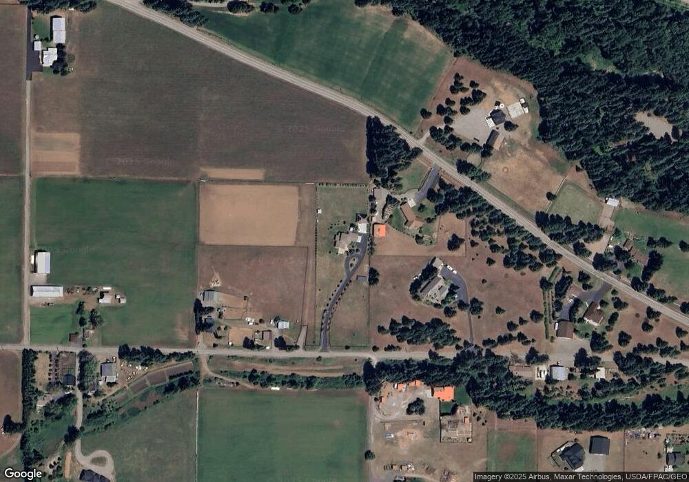
Map
Nearby Homes
- 31 Groeschell Rd
- 70 Farmhouse Way
- 491 Pease Rd
- 819 E 1st St
- 508 E 1st St
- 812 E 2nd St
- 515 E 1st St
- 208 Sage Brook Ln
- 220 Sage Brook Ln
- 716 E 3rd St
- 308 N Montgomery Ave
- 41 Panorama Dr
- 501 Cleveland Ave
- 71 Plateau Loop
- 81 Plateau Loop
- 20 Retreat Place
- 80 Plateau Loop
- 513 Cleveland Ave
- 505 6th St
- 106 E 4th St
- 1880 Lower Peoh Point Rd
- 811 Groeschell Rd
- 521 Groeschell Rd
- 722 Groeschell Rd
- 1851 Lower Peoh Point Rd
- 880 Groeschell Rd
- 390 Groeschell Rd
- 2130 Lower Peoh Point Rd
- 371 Groeschell Rd
- 1473 Lower Peoh Point Rd
- 380 Groeschell Rd
- 980 Groeschell Rd
- 2131 Lower Peoh Point Rd
- 1471 Lower Peoh Point Rd
- 1053 Pays Rd
- 90 Wakkuri Ln
- 601 Pays Rd
- 551 Pays Rd
- 1051 Pays Rd