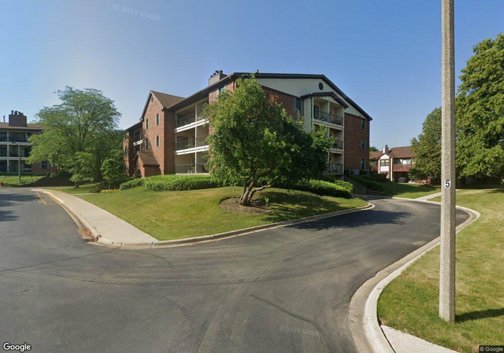
651 Hapsfield Ln Unit 651207 Buffalo Grove, IL 60089
South Buffalo Grove NeighborhoodEstimated Value: $229,000 - $242,000
2
Beds
--
Bath
1,150
Sq Ft
$207/Sq Ft
Est. Value
About This Home
This home is located at 651 Hapsfield Ln Unit 651207, Buffalo Grove, IL 60089 and is currently estimated at $237,731, approximately $206 per square foot. 651 Hapsfield Ln Unit 651207 is a home located in Cook County with nearby schools including Henry W Longfellow Elementary School, Cooper Middle School, and Buffalo Grove High School.
Ownership History
Date
Name
Owned For
Owner Type
Purchase Details
Closed on
Jun 26, 2020
Sold by
Lolov Stanimir M and Lolov Andreana G
Bought by
Tirovolas Gus and Tirovolas Hariklia
Current Estimated Value
Purchase Details
Closed on
Dec 30, 2003
Sold by
Revocabl Koehler Daniel A and Revocabl Nancy Caroline Berndt
Bought by
Lolov Stanimir M and Lolova Andreana G
Home Financials for this Owner
Home Financials are based on the most recent Mortgage that was taken out on this home.
Original Mortgage
$156,750
Interest Rate
5.74%
Mortgage Type
Purchase Money Mortgage
Create a Home Valuation Report for This Property
The Home Valuation Report is an in-depth analysis detailing your home's value as well as a comparison with similar homes in the area
Home Values in the Area
Average Home Value in this Area
Purchase History
| Date | Buyer | Sale Price | Title Company |
|---|---|---|---|
| Tirovolas Gus | $152,500 | Attorneys Ttl Guaranty Fund | |
| Lolov Stanimir M | $165,000 | Ticor Title Insurance |
Source: Public Records
Mortgage History
| Date | Status | Borrower | Loan Amount |
|---|---|---|---|
| Previous Owner | Lolov Stanimir M | $156,750 |
Source: Public Records
Tax History Compared to Growth
Tax History
| Year | Tax Paid | Tax Assessment Tax Assessment Total Assessment is a certain percentage of the fair market value that is determined by local assessors to be the total taxable value of land and additions on the property. | Land | Improvement |
|---|---|---|---|---|
| 2024 | $5,077 | $15,863 | $526 | $15,337 |
| 2023 | $4,884 | $15,863 | $526 | $15,337 |
| 2022 | $4,884 | $15,863 | $526 | $15,337 |
| 2021 | $4,938 | $13,978 | $116 | $13,862 |
| 2020 | $3,739 | $13,978 | $116 | $13,862 |
| 2019 | $3,734 | $15,489 | $116 | $15,373 |
| 2018 | $2,292 | $10,091 | $102 | $9,989 |
| 2017 | $2,270 | $10,091 | $102 | $9,989 |
| 2016 | $2,385 | $10,091 | $102 | $9,989 |
| 2015 | $2,082 | $8,752 | $248 | $8,504 |
| 2014 | $2,066 | $8,752 | $248 | $8,504 |
| 2013 | $1,891 | $8,752 | $248 | $8,504 |
Source: Public Records
Map
Nearby Homes
- 820 Weidner Rd Unit 4013
- 820 Weidner Rd Unit 409
- 665 Thornwood Dr
- 813 Stradford Cir Unit 21B2
- 3300 N Carriageway Dr Unit 317
- 561 Park View Terrace Unit 153
- 859 Beechwood Rd
- 720 Weidner Rd Unit 302
- 535 Estate Dr
- 1127 Miller Ln Unit 107
- 972 Thornton Ln Unit 102
- 1115 Miller Ln Unit 104
- 3157 N Daniels Ct Unit 1502
- 18 E Heritage Ct
- 1225 Radcliffe Rd Unit 2
- 3227 N Heritage Ln
- 3222 N Heritage Ln
- 455 Mayfair Ln
- 410 Chatham Cir
- 408 Indian Hill Dr
- 651 Hapsfield Ln Unit 201
- 651 Hapsfield Ln Unit 305
- 651 Hapsfield Ln Unit 306
- 651 Hapsfield Ln Unit 202
- 651 Hapsfield Ln Unit 651107
- 651 Hapsfield Ln Unit 651200
- 651 Hapsfield Ln Unit 651206
- 651 Hapsfield Ln Unit 651102
- 651 Hapsfield Ln Unit 651205
- 651 Hapsfield Ln Unit 651302
- 651 Hapsfield Ln Unit 651303
- 651 Hapsfield Ln Unit 651203
- 651 Hapsfield Ln Unit 651301
- 651 Hapsfield Ln Unit 651202
- 651 Hapsfield Ln Unit 651306
- 651 Hapsfield Ln Unit 651106
- 651 Hapsfield Ln Unit 651104
- 651 Hapsfield Ln Unit 651305
- 651 Hapsfield Ln Unit 651105
- 651 Hapsfield Ln Unit 651201