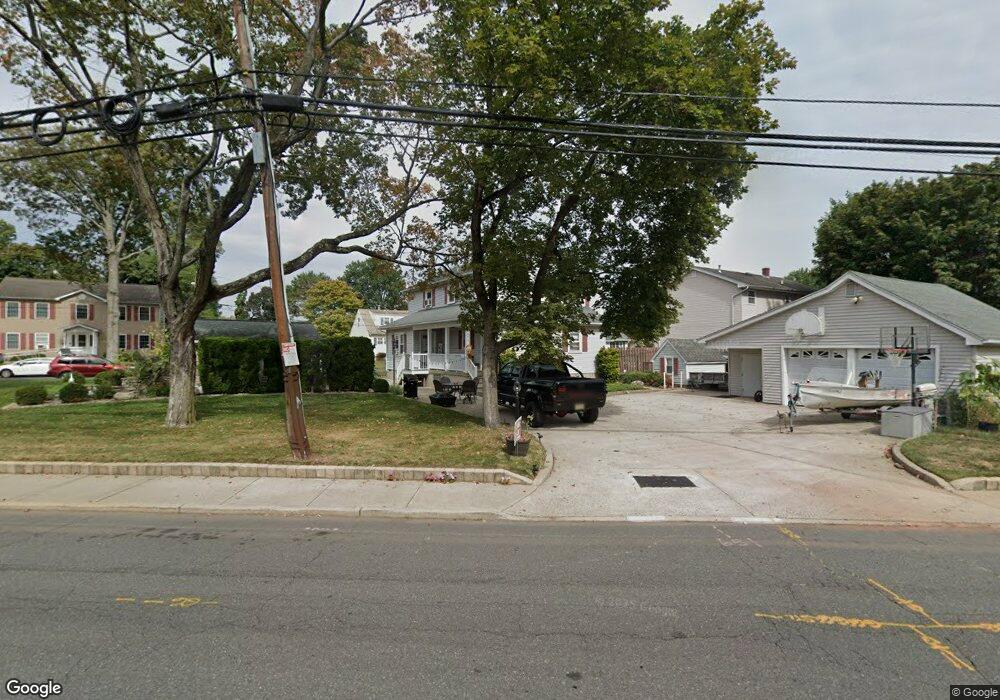
651 Harris Ave Unit 2 Middlesex, NJ 08846
Estimated Value: $603,967 - $630,000
2
Beds
1
Bath
2,246
Sq Ft
$276/Sq Ft
Est. Value
About This Home
This home is located at 651 Harris Ave Unit 2, Middlesex, NJ 08846 and is currently estimated at $619,242, approximately $275 per square foot. 651 Harris Ave Unit 2 is a home located in Middlesex County with nearby schools including Middlesex High School and Our Lady of Mount Virgin School.
Ownership History
Date
Name
Owned For
Owner Type
Purchase Details
Closed on
May 31, 2019
Sold by
Szaro Edward and Szaro Phyllis
Current Estimated Value
Home Financials for this Owner
Home Financials are based on the most recent Mortgage that was taken out on this home.
Original Mortgage
$310,250
Outstanding Balance
$271,079
Interest Rate
4.2%
Mortgage Type
New Conventional
Estimated Equity
$348,163
Purchase Details
Closed on
Feb 1, 1996
Bought by
Szaro Edward and Szar Phyllis
Home Financials for this Owner
Home Financials are based on the most recent Mortgage that was taken out on this home.
Original Mortgage
$134,000
Interest Rate
7.1%
Create a Home Valuation Report for This Property
The Home Valuation Report is an in-depth analysis detailing your home's value as well as a comparison with similar homes in the area
Home Values in the Area
Average Home Value in this Area
Purchase History
| Date | Buyer | Sale Price | Title Company |
|---|---|---|---|
| -- | $365,000 | Foundation Title Llc | |
| Szaro Edward | $162,000 | -- |
Source: Public Records
Mortgage History
| Date | Status | Borrower | Loan Amount |
|---|---|---|---|
| Open | -- | $310,250 | |
| Previous Owner | Szaro Edward | $134,000 |
Source: Public Records
Tax History
| Year | Tax Paid | Tax Assessment Tax Assessment Total Assessment is a certain percentage of the fair market value that is determined by local assessors to be the total taxable value of land and additions on the property. | Land | Improvement |
|---|---|---|---|---|
| 2025 | $10,767 | $587,000 | $150,200 | $436,800 |
| 2024 | $10,251 | $465,300 | $150,200 | $315,100 |
| 2023 | $10,251 | $465,300 | $150,200 | $315,100 |
| 2022 | $8,130 | $82,200 | $38,300 | $43,900 |
| 2021 | $7,923 | $82,200 | $38,300 | $43,900 |
| 2020 | $7,745 | $82,200 | $38,300 | $43,900 |
| 2019 | $7,535 | $82,200 | $38,300 | $43,900 |
| 2018 | $7,307 | $82,200 | $38,300 | $43,900 |
| 2017 | $7,105 | $82,200 | $38,300 | $43,900 |
| 2016 | $6,871 | $82,200 | $38,300 | $43,900 |
| 2015 | $6,726 | $82,200 | $38,300 | $43,900 |
| 2014 | $6,597 | $82,200 | $38,300 | $43,900 |
Source: Public Records
Map
Nearby Homes
- 651 Harris Ave
- 560 W Pershing Ave
- 551 W Pershing Ave
- 559 W Pershing Ave
- 563 W Pershing Ave
- 528 Giles Ave
- 567 W Pershing Ave
- 562 W Pershing Ave
- 661 Harris Ave
- 571 W Pershing Ave
- 524 Giles Ave
- 564 W Pershing Ave
- 529 Harris Ave
- 541 Giles Ave
- 522 Giles Ave
- 575 W Pershing Ave
- 537 Giles Ave
- 551 Drake Ave
- 568 W Pershing Ave
- 546 Cook Ave
Your Personal Tour Guide
Ask me questions while you tour the home.