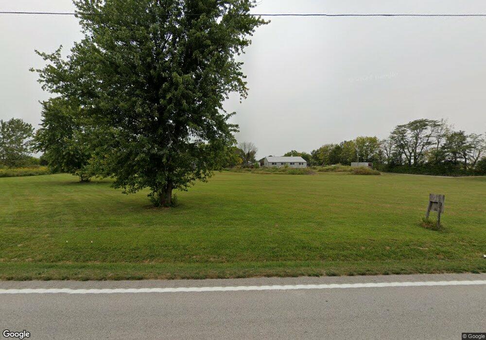
651 Highway T Foristell, MO 63348
Estimated Value: $305,000 - $772,000
--
Bed
--
Bath
2,842
Sq Ft
$190/Sq Ft
Est. Value
About This Home
This home is located at 651 Highway T, Foristell, MO 63348 and is currently estimated at $539,458, approximately $189 per square foot. 651 Highway T is a home with nearby schools including Wright City East Elementary School, Wright City West Elementary School, and Wright City Middle School.
Ownership History
Date
Name
Owned For
Owner Type
Purchase Details
Closed on
Oct 4, 2017
Sold by
Brinkman Daniel V and Brinkman Susan J
Bought by
Brinkman Daniel V and Brinkman Susan J
Current Estimated Value
Home Financials for this Owner
Home Financials are based on the most recent Mortgage that was taken out on this home.
Original Mortgage
$97,100
Outstanding Balance
$52,151
Interest Rate
3.78%
Mortgage Type
New Conventional
Estimated Equity
$487,307
Create a Home Valuation Report for This Property
The Home Valuation Report is an in-depth analysis detailing your home's value as well as a comparison with similar homes in the area
Home Values in the Area
Average Home Value in this Area
Purchase History
| Date | Buyer | Sale Price | Title Company |
|---|---|---|---|
| Brinkman Daniel V | -- | None Available |
Source: Public Records
Mortgage History
| Date | Status | Borrower | Loan Amount |
|---|---|---|---|
| Open | Brinkman Daniel V | $97,100 |
Source: Public Records
Tax History Compared to Growth
Tax History
| Year | Tax Paid | Tax Assessment Tax Assessment Total Assessment is a certain percentage of the fair market value that is determined by local assessors to be the total taxable value of land and additions on the property. | Land | Improvement |
|---|---|---|---|---|
| 2024 | $2,415 | $34,053 | $5,151 | $28,902 |
| 2023 | $2,086 | $34,053 | $5,151 | $28,902 |
| 2022 | $1,941 | $31,531 | $4,769 | $26,762 |
| 2021 | $1,941 | $31,531 | $4,769 | $26,762 |
| 2020 | $1,945 | $31,531 | $4,769 | $26,762 |
| 2019 | $1,938 | $31,531 | $0 | $0 |
| 2017 | $1,871 | $31,531 | $0 | $0 |
| 2016 | $1,870 | $31,531 | $0 | $0 |
| 2015 | -- | $31,531 | $0 | $0 |
| 2011 | -- | $31,530 | $0 | $0 |
Source: Public Records
Map
Nearby Homes
- (3+/- Acres) Highway T
- 216 Liberty Valley Dr
- 214 Liberty Valley Dr
- 3 Sterling at Liberty Manors
- 114 Town Center Ct
- 704 Celebration Dr
- 511 Founders Way
- 807 Colony Ridge Ct
- 2 Burlington at Liberty Commons
- 510 Founders Way
- 808 Colony Ridge Ct
- 2 Arlington at Liberty Commons
- 708 Celebration Dr
- 2 Fieldcrest at Liberty Commons
- 2 Commons
- 90 Town Centre Ct
- 2 Belmont at Liberty Commons
- 302 Freedom Dr
- 2 Aspen at Liberty Manors
- 2 Berwick at Liberty Manors
- 07.82 Ac Old Hickory Grove Rd
- 025.79 Ac Old Hickory Grove Rd
- 581 Highway T
- 182+-acres Schreckengast Old Hickory Rd
- 10236 Old Hickory Grove Rd
- 566 Highway T
- 7Acres Humes Rd
- 07 Acres Humes Rd
- 08.01 Ac Humes Rd
- 21 Trophy Buck Ln
- 10454 Old Hickory Grove Rd
- 0 Bubbling Brook Ct Unit 39
- 10432 Old Hickory Grove Rd
- 556 Highway T
- 11 Foristell Manor Lot
- 23 Trophy Buck Ln
- 0 Humes Rd
- 7 Humes Rd
- 103 Lakeshore Dr
- 25 Trophy Buck Ln