651 Janice Ct Garden City, MI 48135
Estimated Value: $211,321 - $258,000
--
Bed
--
Bath
1,166
Sq Ft
$204/Sq Ft
Est. Value
About This Home
This home is located at 651 Janice Ct, Garden City, MI 48135 and is currently estimated at $238,330, approximately $204 per square foot. 651 Janice Ct is a home located in Wayne County with nearby schools including Memorial Elementary 1-2 Campus, Douglas Elementary 3-4 Campus, and Farmington 5-6 Campus.
Ownership History
Date
Name
Owned For
Owner Type
Purchase Details
Closed on
Mar 31, 2003
Sold by
Vance Thomas L and Vance Terri L
Bought by
Wetmore Mark
Current Estimated Value
Home Financials for this Owner
Home Financials are based on the most recent Mortgage that was taken out on this home.
Original Mortgage
$158,249
Outstanding Balance
$67,783
Interest Rate
5.71%
Mortgage Type
Purchase Money Mortgage
Estimated Equity
$170,547
Create a Home Valuation Report for This Property
The Home Valuation Report is an in-depth analysis detailing your home's value as well as a comparison with similar homes in the area
Home Values in the Area
Average Home Value in this Area
Purchase History
| Date | Buyer | Sale Price | Title Company |
|---|---|---|---|
| Wetmore Mark | $159,500 | -- |
Source: Public Records
Mortgage History
| Date | Status | Borrower | Loan Amount |
|---|---|---|---|
| Open | Wetmore Mark | $158,249 |
Source: Public Records
Tax History Compared to Growth
Tax History
| Year | Tax Paid | Tax Assessment Tax Assessment Total Assessment is a certain percentage of the fair market value that is determined by local assessors to be the total taxable value of land and additions on the property. | Land | Improvement |
|---|---|---|---|---|
| 2025 | $2,322 | $100,600 | $0 | $0 |
| 2024 | $2,322 | $91,000 | $0 | $0 |
| 2023 | $2,198 | $78,300 | $0 | $0 |
| 2022 | $2,465 | $71,900 | $0 | $0 |
| 2021 | $2,411 | $69,300 | $0 | $0 |
| 2020 | $2,422 | $65,600 | $0 | $0 |
| 2019 | $1,991 | $56,800 | $0 | $0 |
| 2018 | $1,773 | $45,600 | $0 | $0 |
| 2017 | $573 | $43,100 | $0 | $0 |
| 2016 | $2,015 | $42,500 | $0 | $0 |
| 2015 | $3,546 | $39,800 | $0 | $0 |
| 2013 | $3,590 | $36,600 | $0 | $0 |
| 2012 | $1,994 | $39,100 | $10,000 | $29,100 |
Source: Public Records
Map
Nearby Homes
- 577 Brandt St
- 1125 Brandt St
- 29487 Florence St
- 489 Henry Ruff Rd
- 30639 Florence St
- 29578 Brown Ct
- 30414 Cherry Hill Rd
- 30808 Sheridan St
- 0000 Brandt St
- 29031 Rosslyn Ave
- 329 Shotka St
- 30901 Cherry Hill Rd
- 30806 Fernwood St
- 29404 Meadow Ln Unit 1
- 30915 Cherry Hill Rd
- 30148 John Hauk St
- 28999 Beechnut St
- 28783 Leona St
- 31255 Marquette St
- 30931 Fernwood St
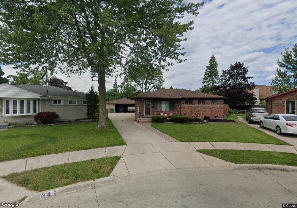
- 641 Janice Ct
- 662 Janice Ct
- 30021 Rosslyn Ave
- 640 Susan Ct
- 631 Janice Ct
- 29977 Rosslyn Ave
- 650 Susan Ct
- 30033 Rosslyn Ave
- 652 Janice Ct
- 29955 Rosslyn Ave
- 630 Susan Ct
- 30055 Rosslyn Ave
- 642 Janice Ct
- 29931 Rosslyn Ave
- 615 Janice Ct
- 29984 Florence St
- 632 Janice Ct
- 660 Susan Ct
- 30075 Rosslyn Ave
- 30012 Florence St